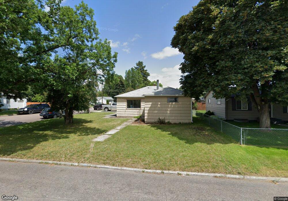
1201 6th Ave E Kalispell, MT 59901
Estimated Value: $383,000 - $423,000
3
Beds
1
Bath
1,088
Sq Ft
$368/Sq Ft
Est. Value
About This Home
This home is located at 1201 6th Ave E, Kalispell, MT 59901 and is currently estimated at $400,490, approximately $368 per square foot. 1201 6th Ave E is a home located in Flathead County with nearby schools including Cornelius Hedges School, Kalispell Middle School, and Flathead High School.
Ownership History
Date
Name
Owned For
Owner Type
Purchase Details
Closed on
Dec 15, 2015
Sold by
Cockrell Gary and Cockrell Carol
Bought by
Gary W Cockrell Revocable Trust and Cockrell Carol M
Current Estimated Value
Purchase Details
Closed on
Nov 25, 2014
Sold by
Cockrell Glenn and Cockrell Gary
Bought by
Cockrell Gary and Cockrell Carol
Home Financials for this Owner
Home Financials are based on the most recent Mortgage that was taken out on this home.
Original Mortgage
$88,000
Interest Rate
3.95%
Mortgage Type
Purchase Money Mortgage
Create a Home Valuation Report for This Property
The Home Valuation Report is an in-depth analysis detailing your home's value as well as a comparison with similar homes in the area
Purchase History
| Date | Buyer | Sale Price | Title Company |
|---|---|---|---|
| Gary W Cockrell Revocable Trust | -- | None Available | |
| Cockrell Gary | -- | None Available |
Source: Public Records
Mortgage History
| Date | Status | Borrower | Loan Amount |
|---|---|---|---|
| Closed | Cockrell Gary | $88,000 |
Source: Public Records
Tax History
| Year | Tax Paid | Tax Assessment Tax Assessment Total Assessment is a certain percentage of the fair market value that is determined by local assessors to be the total taxable value of land and additions on the property. | Land | Improvement |
|---|---|---|---|---|
| 2025 | $1,915 | $398,200 | $0 | $0 |
| 2024 | $2,468 | $317,000 | $0 | $0 |
| 2023 | $2,904 | $317,000 | $0 | $0 |
| 2022 | $2,232 | $222,100 | $0 | $0 |
| 2021 | $2,391 | $222,100 | $0 | $0 |
| 2020 | $2,540 | $194,200 | $0 | $0 |
| 2019 | $2,547 | $194,200 | $0 | $0 |
| 2018 | $2,245 | $159,500 | $0 | $0 |
| 2017 | $1,672 | $159,500 | $0 | $0 |
| 2016 | $1,921 | $146,000 | $0 | $0 |
| 2015 | $1,919 | $146,000 | $0 | $0 |
| 2014 | $1,902 | $86,920 | $0 | $0 |
Source: Public Records
Map
Nearby Homes
Your Personal Tour Guide
Ask me questions while you tour the home.