1201 Anvil Ct University Park, IL 60484
Estimated Value: $231,828 - $316,000
--
Bed
--
Bath
2,473
Sq Ft
$109/Sq Ft
Est. Value
About This Home
This home is located at 1201 Anvil Ct, University Park, IL 60484 and is currently estimated at $270,207, approximately $109 per square foot. 1201 Anvil Ct is a home located in Will County with nearby schools including Monee Elementary School, Crete-Monee Middle School, and Crete-Monee High School.
Ownership History
Date
Name
Owned For
Owner Type
Purchase Details
Closed on
Nov 17, 2005
Sold by
Thomas Larry E and Thomas Doris E
Bought by
Thomas Larry and Thomas Doris E
Current Estimated Value
Home Financials for this Owner
Home Financials are based on the most recent Mortgage that was taken out on this home.
Original Mortgage
$232,942
Outstanding Balance
$128,645
Interest Rate
6.17%
Mortgage Type
FHA
Estimated Equity
$141,562
Create a Home Valuation Report for This Property
The Home Valuation Report is an in-depth analysis detailing your home's value as well as a comparison with similar homes in the area
Home Values in the Area
Average Home Value in this Area
Purchase History
| Date | Buyer | Sale Price | Title Company |
|---|---|---|---|
| Thomas Larry | -- | Chicago Title Insurance Comp |
Source: Public Records
Mortgage History
| Date | Status | Borrower | Loan Amount |
|---|---|---|---|
| Open | Thomas Larry | $232,942 |
Source: Public Records
Tax History Compared to Growth
Tax History
| Year | Tax Paid | Tax Assessment Tax Assessment Total Assessment is a certain percentage of the fair market value that is determined by local assessors to be the total taxable value of land and additions on the property. | Land | Improvement |
|---|---|---|---|---|
| 2024 | $9,360 | $82,571 | $10,586 | $71,985 |
| 2023 | $9,360 | $71,182 | $9,126 | $62,056 |
| 2022 | $8,591 | $62,616 | $8,028 | $54,588 |
| 2021 | $7,662 | $57,952 | $7,300 | $50,652 |
| 2020 | $7,568 | $56,073 | $7,063 | $49,010 |
| 2019 | $7,650 | $53,175 | $6,698 | $46,477 |
| 2018 | $7,798 | $53,127 | $6,750 | $46,377 |
| 2017 | $7,703 | $51,536 | $6,539 | $44,997 |
| 2016 | $7,327 | $49,236 | $6,302 | $42,934 |
| 2015 | $6,827 | $46,239 | $5,831 | $40,408 |
| 2014 | $6,827 | $46,891 | $5,826 | $41,065 |
| 2013 | $6,827 | $49,100 | $6,100 | $43,000 |
Source: Public Records
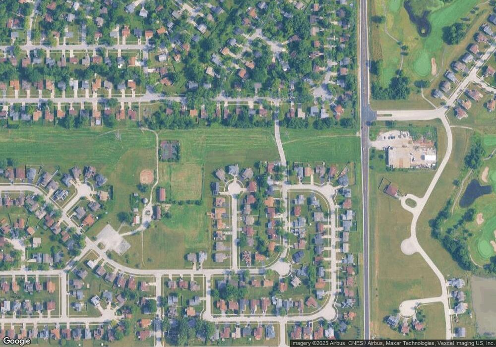
Map
Nearby Homes
- 1061 Amherst Ln
- 1043 Ashridge Ln
- 1109 Abbot Ln
- 469 Fairway Ln
- 618 Old Forge Ln
- 1116 Amherst Ln
- 453 Fairway Ct
- 1031 Blackhawk Dr
- 740 Mission St
- 1001 Blackhawk Dr
- 754 Mission Dr
- 524 Regent Rd
- 607 Sullivan Ln
- 903 Blackhawk Dr
- 608 Sullivan Ln
- 815 Blackhawk Dr
- 807 Blackhawk Dr
- 0 S Nacke Rd
- 735 Union Dr
- 882 White Oak Ln Unit 3
- 1203 Anvil Ct
- 1200 Anvil Ct
- 500 Farmview Rd
- 502 Farmview Rd
- 1205 Anvil Ct
- 504 Farmview Rd
- 1202 Anvil Ct
- 506 Farmview Rd
- 1204 Anvil Ct
- 1207 Anvil Ct
- 1206 Anvil Ct
- 508 Farmview Rd
- 1201 Harvest Ln
- 1209 Anvil Ct
- 1208 Anvil Ct
- 510 Farmview Rd
- 510 Farm View Rd
- 503 Farmview Rd
- 503 Farm View Rd
- 1067 Amherst Ln