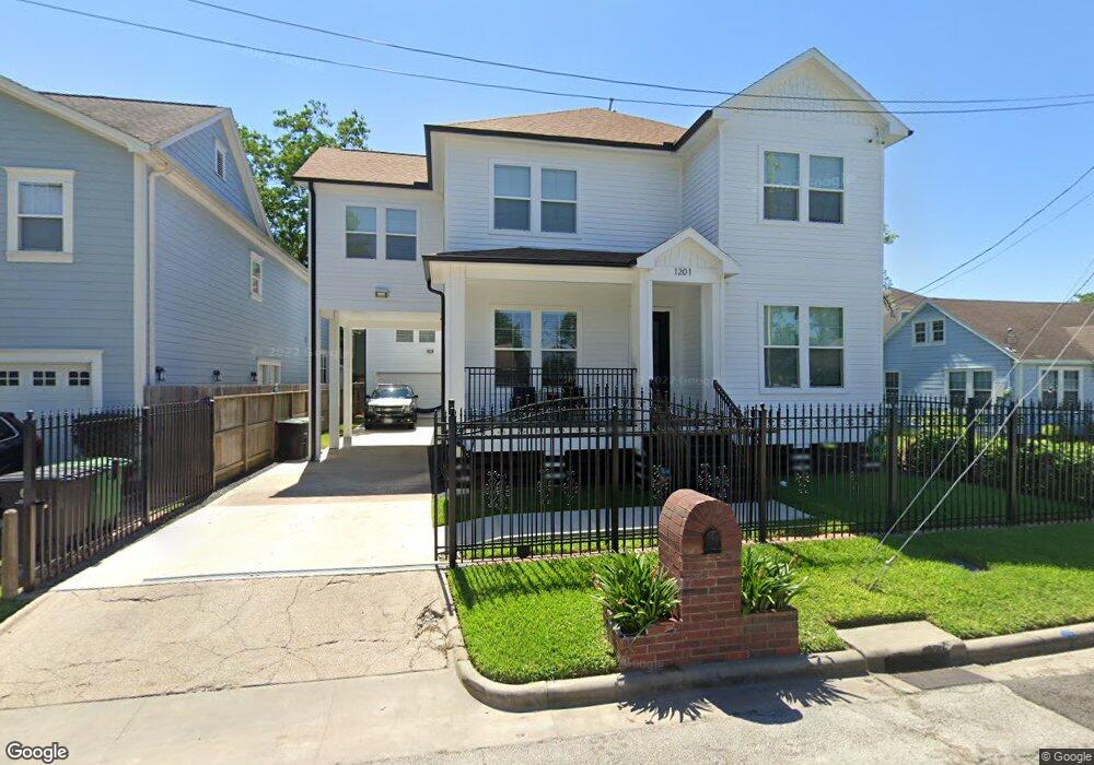
1201 Armstead St Houston, TX 77009
Greater Heights NeighborhoodEstimated Value: $827,000 - $961,000
5
Beds
5
Baths
3,921
Sq Ft
$232/Sq Ft
Est. Value
About This Home
This home is located at 1201 Armstead St, Houston, TX 77009 and is currently estimated at $909,169, approximately $231 per square foot. 1201 Armstead St is a home located in Harris County with nearby schools including Browning Elementary School, Hogg Middle, and Heights High School.
Ownership History
Date
Name
Owned For
Owner Type
Purchase Details
Closed on
Oct 2, 2013
Sold by
Albino Jose Luis and Albino Ada L
Bought by
Albino George
Current Estimated Value
Purchase Details
Closed on
Jun 29, 2004
Sold by
Valadez Victor Manuel and Valadez Sabina
Bought by
Albino Jose Luis
Home Financials for this Owner
Home Financials are based on the most recent Mortgage that was taken out on this home.
Original Mortgage
$49,500
Interest Rate
6.3%
Mortgage Type
Purchase Money Mortgage
Create a Home Valuation Report for This Property
The Home Valuation Report is an in-depth analysis detailing your home's value as well as a comparison with similar homes in the area
Home Values in the Area
Average Home Value in this Area
Purchase History
| Date | Buyer | Sale Price | Title Company |
|---|---|---|---|
| Albino George | -- | None Available | |
| Albino Jose Luis | -- | First American Title |
Source: Public Records
Mortgage History
| Date | Status | Borrower | Loan Amount |
|---|---|---|---|
| Previous Owner | Albino Jose Luis | $49,500 |
Source: Public Records
Tax History Compared to Growth
Tax History
| Year | Tax Paid | Tax Assessment Tax Assessment Total Assessment is a certain percentage of the fair market value that is determined by local assessors to be the total taxable value of land and additions on the property. | Land | Improvement |
|---|---|---|---|---|
| 2025 | $13,525 | $822,195 | $360,000 | $462,195 |
| 2024 | $13,525 | $858,400 | $336,000 | $522,400 |
| 2023 | $13,525 | $892,391 | $336,000 | $556,391 |
| 2022 | $16,294 | $740,000 | $288,000 | $452,000 |
| 2021 | $16,516 | $708,636 | $230,400 | $478,236 |
| 2020 | $12,472 | $540,865 | $252,000 | $288,865 |
| 2019 | $5,998 | $279,000 | $252,000 | $27,000 |
| 2018 | $4,082 | $215,503 | $183,750 | $31,753 |
| 2017 | $5,830 | $230,573 | $183,750 | $46,823 |
| 2016 | $5,753 | $227,531 | $179,375 | $48,156 |
| 2015 | $4,206 | $227,531 | $179,375 | $48,156 |
| 2014 | $4,206 | $163,616 | $117,875 | $45,741 |
Source: Public Records
Map
Nearby Homes
- 1723 Redwing Ridge Dr
- 738 Redwing Place Dr
- 1707 Redwing Cove Dr
- 1718 Redwing Ridge Dr
- 1340 Idylwild St
- 1805 Emir St Unit G
- 1805 Emir St Unit D
- 1805 Emir St Unit L
- 1805 Emir St Unit E
- 1719 Redwing Pines Dr
- 1213 Northwood St
- 905 Kern St
- 1737 Airline Dr
- 1209 Tabor St
- 1101 Tabor St
- 1415 Tabor St
- 1311 Walton St
- 1202 Walton St
- 1005 Kern St Unit C
- 1005 Kern St Unit B
- 1119 Armstead St
- 1203 Armstead St
- 1710 Redwing Ridge Dr
- 1706 Redwing Ridge Dr
- 1714 Redwing Ridge Dr
- 1702 Redwing Ridge Dr
- 1722 Redwing Ridge Dr
- 1205 Armstead St
- 1233 Mathis St
- 1228 Mathis St
- 1730 Redwing Ridge Dr
- 1711 Redwing Ridge Dr
- 1715 Redwing Ridge Dr
- 1207 Armstead St
- 1719 Redwing Ridge Dr
- 1734 Redwing Ridge Dr
- 1225 Mathis St
- 1220 Mathis St
- 706 Redwing Park Dr
- 1727 Redwing Ridge Dr