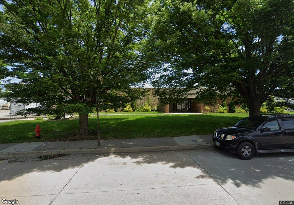
1201 Bernard Dr Baltimore, MD 21223
Estimated Value: $938,985
--
Bed
--
Bath
8,139
Sq Ft
$115/Sq Ft
Est. Value
About This Home
This home is located at 1201 Bernard Dr, Baltimore, MD 21223 and is currently estimated at $938,985, approximately $115 per square foot. 1201 Bernard Dr is a home located in Baltimore City with nearby schools including Violetville Elementary/Middle School, Booker T. Washington Middle School, and Edmondson Westside High School.
Ownership History
Date
Name
Owned For
Owner Type
Purchase Details
Closed on
Jun 15, 2010
Sold by
1201 Bernard Drive Llc
Bought by
Bindu Enterprises Llc
Current Estimated Value
Purchase Details
Closed on
Mar 5, 2009
Sold by
Hagan Bryan H
Bought by
1201 Bernard Drive Llc
Purchase Details
Closed on
Oct 11, 2007
Sold by
Hagan Bryan H
Bought by
Hagan Bryan H and Hagan Suzanne G
Purchase Details
Closed on
Aug 25, 2006
Sold by
Hagan Bryan H
Bought by
Hagan Bryan H and Hagan Suzanne G
Purchase Details
Closed on
Mar 5, 1998
Sold by
Hagan Bryan H
Bought by
Hagan Bryan H
Create a Home Valuation Report for This Property
The Home Valuation Report is an in-depth analysis detailing your home's value as well as a comparison with similar homes in the area
Home Values in the Area
Average Home Value in this Area
Purchase History
| Date | Buyer | Sale Price | Title Company |
|---|---|---|---|
| Bindu Enterprises Llc | $467,000 | -- | |
| 1201 Bernard Drive Llc | -- | -- | |
| Hagan Bryan H | -- | -- | |
| Hagan Bryan H | -- | -- | |
| Hagan Bryan H | -- | -- |
Source: Public Records
Tax History Compared to Growth
Tax History
| Year | Tax Paid | Tax Assessment Tax Assessment Total Assessment is a certain percentage of the fair market value that is determined by local assessors to be the total taxable value of land and additions on the property. | Land | Improvement |
|---|---|---|---|---|
| 2025 | $11,438 | $494,800 | -- | -- |
| 2024 | $11,438 | $487,000 | $0 | $0 |
| 2023 | $11,255 | $479,200 | $65,100 | $414,100 |
| 2022 | $11,059 | $468,600 | $0 | $0 |
| 2021 | $10,809 | $458,000 | $0 | $0 |
| 2020 | $10,559 | $447,400 | $65,100 | $382,300 |
| 2019 | $10,412 | $443,300 | $0 | $0 |
| 2018 | $10,365 | $439,200 | $0 | $0 |
| 2017 | $10,268 | $435,100 | $0 | $0 |
| 2016 | $9,342 | $423,033 | $0 | $0 |
| 2015 | $9,342 | $410,967 | $0 | $0 |
| 2014 | $9,342 | $398,900 | $0 | $0 |
Source: Public Records
Map
Nearby Homes
- 1052 Parksley Ave
- 2737 Wilkens Ave
- 2733 Wilkens Ave
- 2711 Wilkens Ave
- 2659 Wilkens Ave
- 1637 Spence St
- 2633 Wilkens Ave
- 2644 Wilkens Ave
- 2642 Wilkens Ave
- 1707 Harman Ave
- 2305 Herkimer St
- 1703 - 1707 1/2 Spence St
- 2698 Saint Benedict St
- 1715 Spence St
- 2683 Dulany St
- 1710 Wilmington Ave
- 2637 Dulany St
- 2615 Dulany St
- 2613 Dulany St
- 2520 Wilkens Ave
- 1207 Bernard Dr
- 1211 Bernard Dr
- 1220 Bernard Dr
- 1221 Bernard Dr
- 1120 Whistler Ave
- 1080 S Dukeland St
- 1100 Whistler Ave
- 1015 Brunswick St
- 3001 Cowan Ave
- 1050 S Dukeland St
- 1215 Desoto Rd
- 1063 Parksley Ave
- 1061 Parksley Ave
- 1059 Parksley Ave
- 2900 Cowan Ave
- 1057 Parksley Ave
- 1055 Parksley Ave
- 1053 Parksley Ave
- 1125 Desoto Rd
- 1051 Parksley Ave