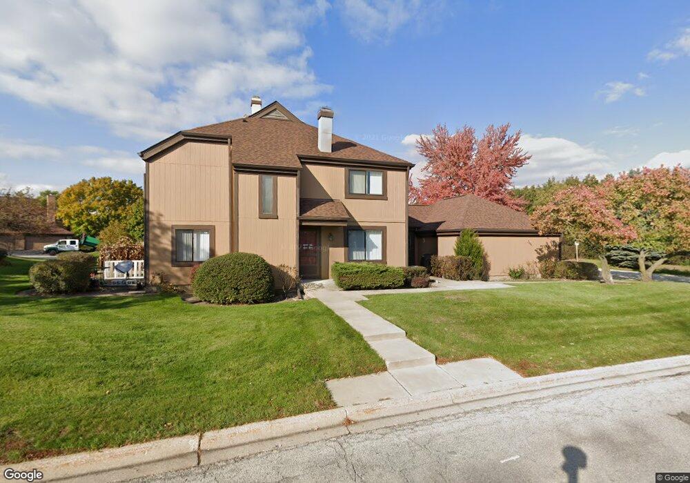
1201 Bristol Ln Unit J8 Buffalo Grove, IL 60089
Estimated Value: $392,445 - $432,000
--
Bed
3
Baths
1,932
Sq Ft
$218/Sq Ft
Est. Value
About This Home
This home is located at 1201 Bristol Ln Unit J8, Buffalo Grove, IL 60089 and is currently estimated at $420,611, approximately $217 per square foot. 1201 Bristol Ln Unit J8 is a home located in Lake County with nearby schools including Kildeer Countryside Elementary School, Woodlawn Middle School, and Adlai E Stevenson High School.
Ownership History
Date
Name
Owned For
Owner Type
Purchase Details
Closed on
Jun 11, 2010
Sold by
Zisman Alex and Britva Sima
Bought by
Zisman Alex and Britva Sima
Current Estimated Value
Create a Home Valuation Report for This Property
The Home Valuation Report is an in-depth analysis detailing your home's value as well as a comparison with similar homes in the area
Home Values in the Area
Average Home Value in this Area
Purchase History
| Date | Buyer | Sale Price | Title Company |
|---|---|---|---|
| Zisman Alex | -- | None Available |
Source: Public Records
Tax History Compared to Growth
Tax History
| Year | Tax Paid | Tax Assessment Tax Assessment Total Assessment is a certain percentage of the fair market value that is determined by local assessors to be the total taxable value of land and additions on the property. | Land | Improvement |
|---|---|---|---|---|
| 2024 | $9,842 | $110,160 | $24,156 | $86,004 |
| 2023 | $9,856 | $103,944 | $22,793 | $81,151 |
| 2022 | $9,856 | $100,525 | $22,043 | $78,482 |
| 2021 | $9,481 | $99,441 | $21,805 | $77,636 |
| 2020 | $9,258 | $99,780 | $21,879 | $77,901 |
| 2019 | $9,132 | $99,412 | $21,798 | $77,614 |
| 2018 | $7,397 | $82,637 | $23,694 | $58,943 |
| 2017 | $7,117 | $80,708 | $23,141 | $57,567 |
| 2016 | $6,921 | $77,284 | $22,159 | $55,125 |
| 2015 | $6,723 | $72,275 | $20,723 | $51,552 |
| 2014 | $6,639 | $70,500 | $22,256 | $48,244 |
| 2012 | $7,014 | $74,797 | $22,301 | $52,496 |
Source: Public Records
Map
Nearby Homes
- 1324 Fairfax Ln Unit B32
- 1325 Fairfax Ln
- 1357 Bristol Ln Unit Q4
- 12 Cloverdale Ct
- 5107 N Arlington Heights Rd
- 887 Saybrook Ln Unit 2
- 1032 Courtland Dr Unit 9
- 950 Belmar Ln
- 1514 Sumter Dr
- 800 Clohesey Dr
- 1141 Devonshire Rd
- 890 Knollwood Dr
- 1265 Devonshire Rd
- 1545 Chickamauga Ln
- 931 Shady Grove Ln
- 1242 Antietam Dr
- 327 Lasalle Ln
- 610 Checker Dr
- 1728 Holly Ct
- 711 Woodhollow Ln
- 1205 Bristol Ln Unit J7
- 1209 Bristol Ln Unit J6
- 1213 Bristol Ln Unit J5
- 1217 Bristol Ln Unit J4
- 1002 Fremont Ct E Unit I4
- 1004 Fremont Ct E Unit I3
- 1006 Fremont Ct E Unit I2
- 1221 Bristol Ln Unit J3
- 1008 Fremont Ct E Unit I1
- 1008 Fremont Ct E Unit 1008
- 1225 Bristol Ln Unit J2
- 1187 Bristol Ln
- 1022 Fremont Ct E Unit H2
- 1024 Fremont Ct E Unit H1
- 1020 Fremont Ct E Unit H3
- 1233 Bristol Ln Unit K8
- 1018 Fremont Ct E Unit H4
- 1016 Fremont Ct E Unit H5
- 1014 Fremont Ct E Unit H6
- 1237 Bristol Ln Unit K7