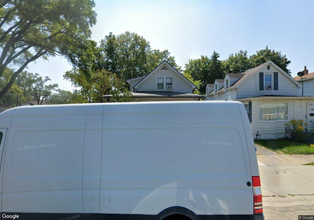
1201 Brookside Ave Waukegan, IL 60085
West Waukegan NeighborhoodEstimated Value: $190,000 - $207,000
3
Beds
2
Baths
1,370
Sq Ft
$143/Sq Ft
Est. Value
About This Home
This home is located at 1201 Brookside Ave, Waukegan, IL 60085 and is currently estimated at $196,254, approximately $143 per square foot. 1201 Brookside Ave is a home located in Lake County with nearby schools including Hyde Park Elementary School, Miguel Juarez Middle School, and Waukegan High School.
Ownership History
Date
Name
Owned For
Owner Type
Purchase Details
Closed on
Jul 19, 2021
Sold by
Wilson Living Inc
Bought by
Chamberlin Lelia
Current Estimated Value
Purchase Details
Closed on
Jul 29, 2020
Sold by
Rine Caryl E and The Caryl E Rine Living Trust
Bought by
Wilson Living Inc
Purchase Details
Closed on
Mar 19, 2004
Sold by
Rine Caryl E
Bought by
Rine Caryl E and The Caryl E Rine Trust
Create a Home Valuation Report for This Property
The Home Valuation Report is an in-depth analysis detailing your home's value as well as a comparison with similar homes in the area
Home Values in the Area
Average Home Value in this Area
Purchase History
| Date | Buyer | Sale Price | Title Company |
|---|---|---|---|
| Chamberlin Lelia | $130,000 | Fidelity National Title Insura | |
| Wilson Living Inc | $42,000 | First American Title | |
| Rine Caryl E | -- | -- |
Source: Public Records
Tax History
| Year | Tax Paid | Tax Assessment Tax Assessment Total Assessment is a certain percentage of the fair market value that is determined by local assessors to be the total taxable value of land and additions on the property. | Land | Improvement |
|---|---|---|---|---|
| 2024 | $3,500 | $50,398 | $5,976 | $44,422 |
| 2023 | $3,500 | $45,121 | $5,350 | $39,771 |
| 2022 | $3,718 | $38,030 | $4,878 | $33,152 |
| 2021 | $3,563 | $34,175 | $4,594 | $29,581 |
| 2020 | $2,362 | $31,838 | $4,280 | $27,558 |
| 2019 | $2,281 | $29,174 | $3,922 | $25,252 |
| 2018 | $1,497 | $22,279 | $4,625 | $17,654 |
| 2017 | $1,239 | $19,711 | $4,092 | $15,619 |
| 2016 | $947 | $17,128 | $3,556 | $13,572 |
| 2015 | $851 | $15,330 | $3,183 | $12,147 |
| 2014 | $1,569 | $19,430 | $3,068 | $16,362 |
| 2012 | $2,505 | $21,049 | $3,323 | $17,726 |
Source: Public Records
Map
Nearby Homes
- 1124 Jackson Ct
- 317 N Jackson St
- 619 N Butrick St
- 505 Lorraine Ave
- 108 Dorchester Ct
- 1019 Edwards St
- 522 N Poplar St
- 227 N Elmwood Ave
- 702 Franklin St
- 121 N Park Ave
- 10 N Park Ave
- 714 Glen Rock Ave
- 746 Walnut St Unit 2E
- 728 N Ash St
- 850 N Jackson St
- 1018 Massena Ave
- 520 4th St
- 118 S Fulton Ave
- 705 Massena Ave
- 205 S Park Ave
- 1203 Brookside Ave
- 1205 Brookside Ave
- 1209 Brookside Ave
- 1200 Clarkson St
- 1206 Clarkson St
- 1208 Clarkson St
- 1200 Brookside Ave
- 1200 Brookside Ave
- 1225 Brookside Ave
- 1216 Clarkson St
- 1210 Brookside Ave
- 1303 Brookside Ave
- 315 Edison Ct
- 319 Edison Ct
- 1214 Brookside Ave
- 309 Edison Ct
- 321 Edison Ct
- 1302 Clarkson St
- 325 Edison Ct
- 305 Edison Ct
Your Personal Tour Guide
Ask me questions while you tour the home.