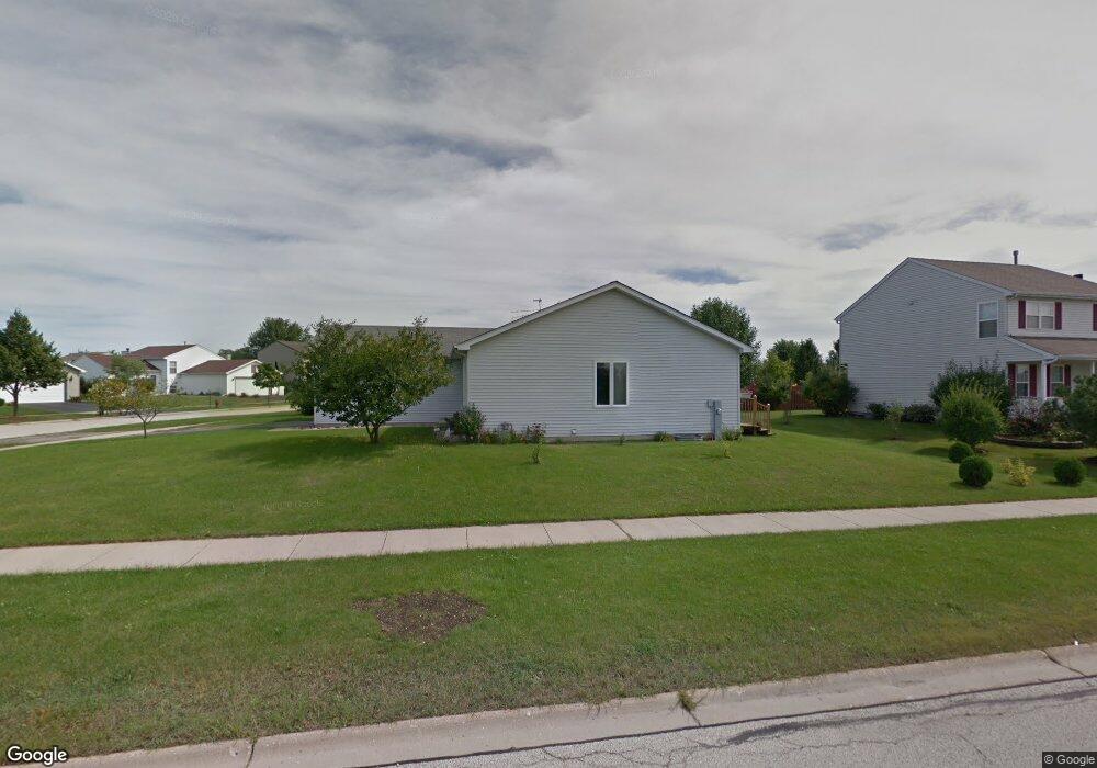
1201 Cardinal Dr Zion, IL 60099
West Zion NeighborhoodEstimated Value: $273,000 - $329,000
3
Beds
1
Bath
1,335
Sq Ft
$221/Sq Ft
Est. Value
About This Home
This home is located at 1201 Cardinal Dr, Zion, IL 60099 and is currently estimated at $294,914, approximately $220 per square foot. 1201 Cardinal Dr is a home located in Lake County with nearby schools including Newport Elementary School, Beach Park Middle School, and Zion-Benton Township High School.
Ownership History
Date
Name
Owned For
Owner Type
Purchase Details
Closed on
Jan 11, 2000
Sold by
Bank Of Waukegan
Bought by
Wilder Joseph Lee and Wilder Mary Sue
Current Estimated Value
Home Financials for this Owner
Home Financials are based on the most recent Mortgage that was taken out on this home.
Original Mortgage
$103,000
Outstanding Balance
$32,652
Interest Rate
7.81%
Estimated Equity
$262,262
Create a Home Valuation Report for This Property
The Home Valuation Report is an in-depth analysis detailing your home's value as well as a comparison with similar homes in the area
Home Values in the Area
Average Home Value in this Area
Purchase History
| Date | Buyer | Sale Price | Title Company |
|---|---|---|---|
| Wilder Joseph Lee | $137,000 | -- |
Source: Public Records
Mortgage History
| Date | Status | Borrower | Loan Amount |
|---|---|---|---|
| Open | Wilder Joseph Lee | $103,000 |
Source: Public Records
Tax History Compared to Growth
Tax History
| Year | Tax Paid | Tax Assessment Tax Assessment Total Assessment is a certain percentage of the fair market value that is determined by local assessors to be the total taxable value of land and additions on the property. | Land | Improvement |
|---|---|---|---|---|
| 2024 | $7,428 | $74,180 | $9,823 | $64,357 |
| 2023 | $7,125 | $66,138 | $8,758 | $57,380 |
| 2022 | $7,125 | $60,605 | $7,173 | $53,432 |
| 2021 | $6,964 | $56,510 | $6,729 | $49,781 |
| 2020 | $6,704 | $53,151 | $6,329 | $46,822 |
| 2019 | $6,509 | $49,512 | $5,896 | $43,616 |
| 2018 | $5,661 | $43,176 | $5,420 | $37,756 |
| 2017 | $5,541 | $40,052 | $5,028 | $35,024 |
| 2016 | $5,109 | $36,358 | $4,564 | $31,794 |
| 2015 | $4,872 | $32,990 | $4,141 | $28,849 |
| 2014 | $4,745 | $32,890 | $4,115 | $28,775 |
| 2012 | $5,207 | $35,026 | $4,382 | $30,644 |
Source: Public Records
Map
Nearby Homes
- 908 Countrywood Dr
- 1302 Lorelei Dr
- 0 9th St
- 1417 Westside Trail
- 4014 Ridge Rd
- 3717 Willow Crest Dr
- 3707 Willow Crest Dr
- 4539 Illinois 173
- 1304 Pelican Ct
- 4533 Illinois 173
- 41320 N Green Bay Rd
- 1916 Sunshine Ct
- 1531 Southport Ct
- 2010 Sunset Ct
- 2031 Dawn Ln
- 1521 Southport Ct
- 43389 N Oakcrest Ln
- 1405 Lewis Ave
- 43411 Lynn Dale Dr
- 42908 N Lewis Ave