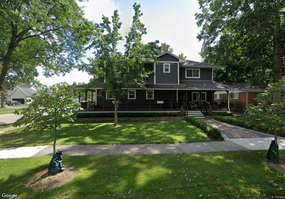
1201 Carol Ave Plymouth, MI 48170
Estimated Value: $510,000 - $1,122,000
3
Beds
4
Baths
4,158
Sq Ft
$226/Sq Ft
Est. Value
About This Home
This home is located at 1201 Carol Ave, Plymouth, MI 48170 and is currently estimated at $939,487, approximately $225 per square foot. 1201 Carol Ave is a home located in Wayne County with nearby schools including Canton High School, Smith Elementary School, and West Middle School.
Ownership History
Date
Name
Owned For
Owner Type
Purchase Details
Closed on
Nov 14, 2016
Sold by
Dent Andrew and Sackliah Andrea
Bought by
Dent Andrew O and Dent Andrea M
Current Estimated Value
Home Financials for this Owner
Home Financials are based on the most recent Mortgage that was taken out on this home.
Original Mortgage
$350,000
Outstanding Balance
$280,989
Interest Rate
3.42%
Mortgage Type
Construction
Estimated Equity
$658,498
Purchase Details
Closed on
Jun 12, 2007
Sold by
Prudential Relocation Inc
Bought by
Dent Andrew and Sackilah Andrea
Purchase Details
Closed on
Mar 6, 1998
Sold by
Simms Karen and Simms William J
Bought by
Prudil Bohuslav and Prudil Catherine
Create a Home Valuation Report for This Property
The Home Valuation Report is an in-depth analysis detailing your home's value as well as a comparison with similar homes in the area
Home Values in the Area
Average Home Value in this Area
Purchase History
| Date | Buyer | Sale Price | Title Company |
|---|---|---|---|
| Dent Andrew O | -- | None Available | |
| Dent Andrew | $188,000 | Metropolitan Title Company | |
| Prudential Relocation Inc | $188,000 | Metropolitan Title Company | |
| Prudil Bohuslav | $161,000 | -- |
Source: Public Records
Mortgage History
| Date | Status | Borrower | Loan Amount |
|---|---|---|---|
| Open | Dent Andrew O | $350,000 |
Source: Public Records
Tax History Compared to Growth
Tax History
| Year | Tax Paid | Tax Assessment Tax Assessment Total Assessment is a certain percentage of the fair market value that is determined by local assessors to be the total taxable value of land and additions on the property. | Land | Improvement |
|---|---|---|---|---|
| 2025 | $10,257 | $415,700 | $0 | $0 |
| 2024 | $10,257 | $404,200 | $0 | $0 |
| 2023 | $9,991 | $353,100 | $0 | $0 |
| 2022 | $10,590 | $352,500 | $0 | $0 |
| 2021 | $10,262 | $346,900 | $0 | $0 |
| 2020 | $10,235 | $305,800 | $0 | $0 |
| 2019 | $9,011 | $301,400 | $0 | $0 |
| 2018 | $4,086 | $145,900 | $0 | $0 |
| 2017 | $865 | $141,500 | $0 | $0 |
| 2016 | $4,266 | $139,000 | $0 | $0 |
| 2015 | $9,770 | $133,500 | $0 | $0 |
| 2013 | $9,465 | $108,210 | $0 | $0 |
| 2011 | -- | $90,000 | $0 | $0 |
Source: Public Records
Map
Nearby Homes
- 1125 Sutherland St
- 1199 S Sheldon Rd Unit 77
- 1338 S Harvey St
- 638 S Harvey St
- 844 Ross St
- 553 Jener Place
- 44571 Clare Blvd
- 775 Deer Ct Unit 104
- 685 Ross St
- 10839 Brookwood Dr
- 9453 Brookline Ave
- 44736 Lynn Dr
- 801 W Ann Arbor Trail Unit 306
- 543 Deer St
- 9405 Northern Ave
- 684 Harding St
- 44750 Erin Dr Unit 40
- 44703 Erin Dr
- 44872 Lynn Dr
- 660 Maple St
- 1217 Carol Ave
- 1200 Palmer St
- 1233 Carol Ave
- 1220 Palmer St
- 1184 Sutherland St
- 840 Mckinley St
- 1185 Carol Ave
- 1240 Palmer St
- 1191 Sutherland St
- 1249 Carol Ave
- 1168 Sutherland St
- 1175 Sutherland St
- 1165 Carol Ave
- 841 Beech Ct
- 820 Mckinley St
- 1260 Palmer St
- 1154 Sutherland St Unit Bldg-Unit
- 1154 Sutherland St
- 1265 Carol Ave
- 1151 Sutherland St