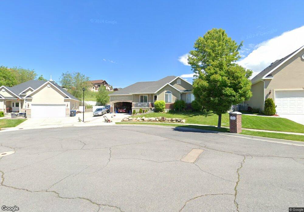
1201 E 650 N Unit 23 American Fork, UT 84003
Estimated Value: $577,000 - $608,962
3
Beds
3
Baths
1,474
Sq Ft
$403/Sq Ft
Est. Value
About This Home
This home is located at 1201 E 650 N Unit 23, American Fork, UT 84003 and is currently estimated at $593,321, approximately $402 per square foot. 1201 E 650 N Unit 23 is a home located in Utah County with nearby schools including Barratt Elementary School, American Fork Junior High School, and American Fork High School.
Ownership History
Date
Name
Owned For
Owner Type
Purchase Details
Closed on
Dec 30, 2002
Sold by
D R Horton Inc
Bought by
Pyper Lance M and Pyper Julee E
Current Estimated Value
Home Financials for this Owner
Home Financials are based on the most recent Mortgage that was taken out on this home.
Original Mortgage
$157,500
Interest Rate
5.96%
Create a Home Valuation Report for This Property
The Home Valuation Report is an in-depth analysis detailing your home's value as well as a comparison with similar homes in the area
Home Values in the Area
Average Home Value in this Area
Purchase History
| Date | Buyer | Sale Price | Title Company |
|---|---|---|---|
| Pyper Lance M | -- | First American Title Co |
Source: Public Records
Mortgage History
| Date | Status | Borrower | Loan Amount |
|---|---|---|---|
| Closed | Pyper Lance M | $157,500 |
Source: Public Records
Tax History
| Year | Tax Paid | Tax Assessment Tax Assessment Total Assessment is a certain percentage of the fair market value that is determined by local assessors to be the total taxable value of land and additions on the property. | Land | Improvement |
|---|---|---|---|---|
| 2025 | $2,687 | $312,895 | -- | -- |
| 2024 | $2,687 | $298,540 | $0 | $0 |
| 2023 | $2,502 | $294,745 | $0 | $0 |
| 2022 | $2,562 | $297,825 | $0 | $0 |
| 2021 | $2,254 | $409,200 | $170,700 | $238,500 |
| 2020 | $2,187 | $385,200 | $158,100 | $227,100 |
| 2019 | $1,946 | $354,400 | $151,400 | $203,000 |
| 2018 | $1,957 | $340,900 | $137,900 | $203,000 |
| 2017 | $1,878 | $176,550 | $0 | $0 |
| 2016 | $1,942 | $169,620 | $0 | $0 |
| 2015 | $1,887 | $156,420 | $0 | $0 |
| 2014 | $1,796 | $146,795 | $0 | $0 |
Source: Public Records
Map
Nearby Homes
- 1121 E 580 N
- 649 N 1280 E
- 2421 Renaissance Ct
- 462 N 950 E Unit 5
- 912 E Ellens St Unit 1
- 474 N 850 E
- 1045 N 930 E Unit 58
- 837 E 475 N
- 1058 N 930 E Unit 64
- 322 N 900 E
- 1125 N 1270 E
- 1089 N 950 E
- 1289 W 1670 N
- 1897 N 900 W
- 980 W 1800 N
- 681 W 2760 N
- 410 N 600 E
- 1427 Narra Place
- 1609 N 900 W
- 472 W 2760 N
- 1201 E 650 N
- 1213 E 650 N
- 651 N 1200 E
- 649 N 1200 E
- 637 N 1200 E
- 1237 E 650 N
- 671 N 1170 East Cir
- 1236 E 650 N
- 626 N 1200 E
- 626 N 1200 E Unit 29
- 1238 E 650 N
- 1178 E 580 North Cir
- 625 N 1200 E
- 1242 E 650 N
- 1242 E 650 N Unit 147
- 1249 E 650 N
- 1249 E 650 N Unit 26
- 683 N 1170 East Cir
- 683 N 1170 East Cir Unit 2
- 618 N 1200 E Unit 30
Your Personal Tour Guide
Ask me questions while you tour the home.