1201 E Spur 707 Abilene, TX 79602
Airport-Loop 322 NeighborhoodEstimated Value: $416,551 - $469,000
3
Beds
2
Baths
2,356
Sq Ft
$191/Sq Ft
Est. Value
About This Home
This home is located at 1201 E Spur 707, Abilene, TX 79602 and is currently estimated at $450,850, approximately $191 per square foot. 1201 E Spur 707 is a home located in Taylor County with nearby schools including Wylie West Early Childhood Center, Wylie West Intermediate School, and Wylie West Elementary School.
Ownership History
Date
Name
Owned For
Owner Type
Purchase Details
Closed on
Jan 13, 2017
Sold by
Underwood Alvis L
Bought by
Abila Staci and Abila Raul
Current Estimated Value
Home Financials for this Owner
Home Financials are based on the most recent Mortgage that was taken out on this home.
Original Mortgage
$213,069
Outstanding Balance
$178,659
Interest Rate
4.75%
Mortgage Type
FHA
Estimated Equity
$272,191
Purchase Details
Closed on
Oct 1, 2012
Sold by
Murphrey Ida Sestos and Murphrey Sestos
Bought by
Underwood Alvis L and Underwood Carol
Create a Home Valuation Report for This Property
The Home Valuation Report is an in-depth analysis detailing your home's value as well as a comparison with similar homes in the area
Home Values in the Area
Average Home Value in this Area
Purchase History
| Date | Buyer | Sale Price | Title Company |
|---|---|---|---|
| Abila Staci | -- | None Available | |
| Underwood Alvis L | -- | None Available |
Source: Public Records
Mortgage History
| Date | Status | Borrower | Loan Amount |
|---|---|---|---|
| Open | Abila Staci | $213,069 |
Source: Public Records
Tax History Compared to Growth
Tax History
| Year | Tax Paid | Tax Assessment Tax Assessment Total Assessment is a certain percentage of the fair market value that is determined by local assessors to be the total taxable value of land and additions on the property. | Land | Improvement |
|---|---|---|---|---|
| 2025 | $6,010 | $337,231 | -- | -- |
| 2023 | $6,010 | $278,704 | $45,659 | $233,045 |
| 2022 | $6,077 | $257,552 | $45,659 | $211,893 |
| 2021 | $5,920 | $229,821 | $45,659 | $184,162 |
| 2020 | $5,599 | $213,817 | $0 | $0 |
| 2019 | $5,470 | $205,316 | $0 | $0 |
| 2018 | $5,052 | $201,830 | $0 | $0 |
| 2017 | $4,834 | $200,467 | $0 | $0 |
| 2016 | $4,729 | $196,120 | $0 | $0 |
| 2015 | $3,455 | $193,897 | $0 | $0 |
| 2014 | $3,455 | $189,586 | $0 | $0 |
Source: Public Records
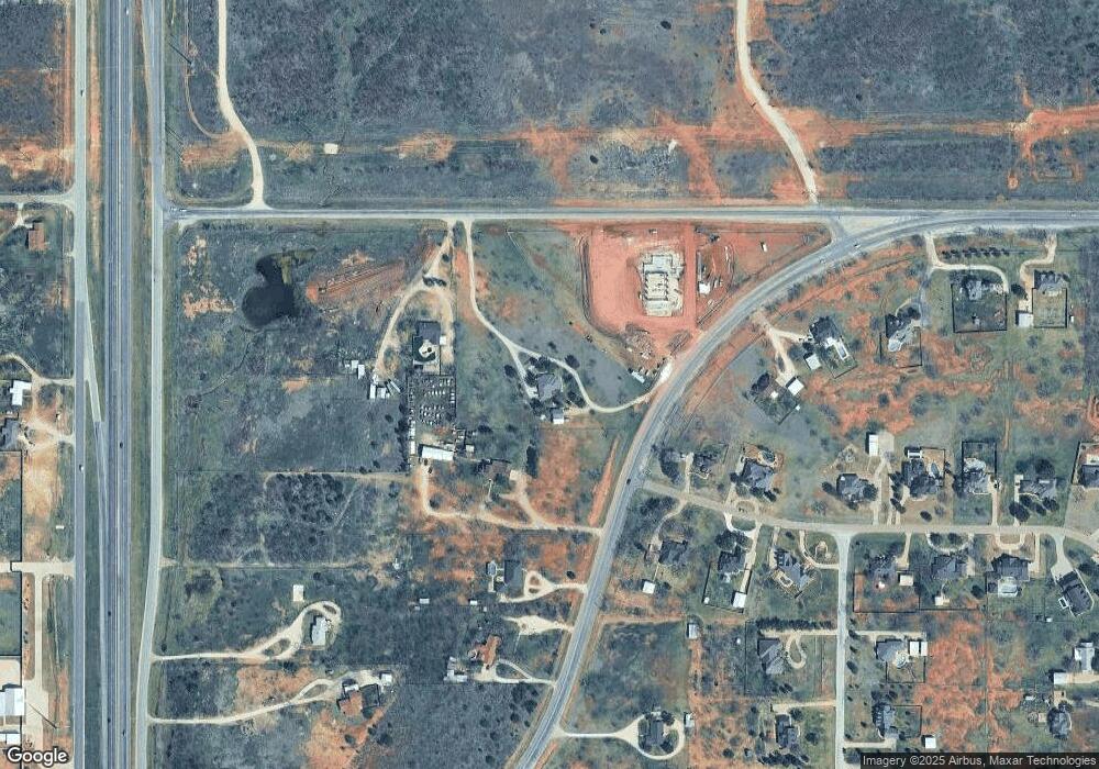
Map
Nearby Homes
- 7834 Saddle Creek Rd
- 1490 Beltway S
- 7602 Hwy 83-84
- 7750 Hwy 83-84
- TBD 1.29 AC Highway 83-84
- 1958 Beltway S
- 10 Acre Bacacita Farms Rd
- 6739 Chisholm Trail
- 6726 Goodnight Loving Trail
- 6716 Chisholm Trail
- 6718 Goodnight Loving Trail
- 90 Acre Bacacita Farms Rd
- 6709 Goodnight Loving Trail
- 6734 Great Western Trail
- 6725 Great Western Trail
- 6709 Horse Head Crossing
- 6734 Horse Head Crossing
- 6742 Magdalena Trail
- 6733 Magdalena Trail
- 6734 Magdalena Trail
- 1209 E Spur 707
- 1102 Beltway S
- 7802 Saddle Creek Rd
- 1234 Beltway S
- 7801 Saddle Creek Rd
- 1141 Beltway S
- 1141 Fm-707
- 7810 Saddle Creek Rd
- 7809 Saddle Creek Rd
- 1258 Beltway S
- 1057 Beltway S
- 7817 Saddle Creek Rd
- 7818 Saddle Creek Rd
- TBD Acres 11 46 Hwy 83
- 7950 Drovers Ln
- 1033 Beltway S
- 7826 Saddle Creek Rd
- 7825 Saddle Creek Rd
- 7965 Us Highway 83
- 7909 U S 83