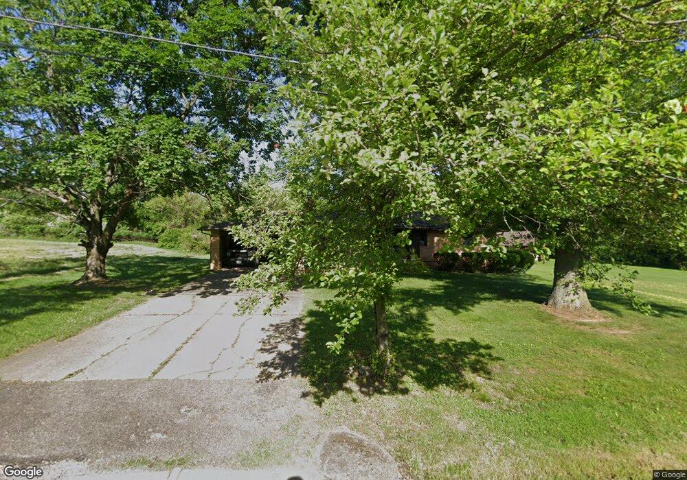
1201 Edward Ave SW Massillon, OH 44647
West Brookfield NeighborhoodEstimated Value: $135,000 - $234,000
--
Bed
--
Bath
--
Sq Ft
0.48
Acres
About This Home
This home is located at 1201 Edward Ave SW, Massillon, OH 44647 and is currently estimated at $184,500. 1201 Edward Ave SW is a home located in Stark County with nearby schools including Tuslaw Elementary School, Tuslaw Middle School, and Tuslaw High School.
Ownership History
Date
Name
Owned For
Owner Type
Purchase Details
Closed on
Nov 30, 2020
Sold by
Viront John M and Viront John D
Bought by
Yoder Randy and Newhouse Ann B
Current Estimated Value
Home Financials for this Owner
Home Financials are based on the most recent Mortgage that was taken out on this home.
Original Mortgage
$131,120
Outstanding Balance
$95,379
Interest Rate
2.8%
Mortgage Type
New Conventional
Estimated Equity
$89,121
Purchase Details
Closed on
Mar 3, 2005
Sold by
Estate Of Judy Lou Viront
Bought by
Viront John M
Create a Home Valuation Report for This Property
The Home Valuation Report is an in-depth analysis detailing your home's value as well as a comparison with similar homes in the area
Home Values in the Area
Average Home Value in this Area
Purchase History
| Date | Buyer | Sale Price | Title Company |
|---|---|---|---|
| Yoder Randy | $163,900 | None Available | |
| Viront John M | -- | -- |
Source: Public Records
Mortgage History
| Date | Status | Borrower | Loan Amount |
|---|---|---|---|
| Open | Yoder Randy | $131,120 |
Source: Public Records
Tax History Compared to Growth
Tax History
| Year | Tax Paid | Tax Assessment Tax Assessment Total Assessment is a certain percentage of the fair market value that is determined by local assessors to be the total taxable value of land and additions on the property. | Land | Improvement |
|---|---|---|---|---|
| 2025 | -- | $12,040 | $9,660 | $2,380 |
| 2024 | -- | $12,040 | $9,660 | $2,380 |
| 2023 | $415 | $10,290 | $6,720 | $3,570 |
| 2022 | $418 | $10,290 | $6,720 | $3,570 |
| 2021 | $424 | $10,290 | $6,720 | $3,570 |
| 2020 | $352 | $8,160 | $5,500 | $2,660 |
| 2019 | $340 | $8,160 | $5,500 | $2,660 |
| 2018 | $335 | $8,160 | $5,500 | $2,660 |
| 2017 | $380 | $8,690 | $5,570 | $3,120 |
| 2016 | $384 | $8,690 | $5,570 | $3,120 |
| 2015 | $394 | $8,690 | $5,570 | $3,120 |
| 2014 | $402 | $8,470 | $5,460 | $3,010 |
| 2013 | $199 | $8,470 | $5,460 | $3,010 |
Source: Public Records
Map
Nearby Homes
- 1174 Manchester Ave SW
- 982 Lanedale St NW
- 1173 Manchester Ave SW
- 1252 Gabrielle Cir NW
- 1350 Alpha St NW
- 13020 Kimmens Rd SW
- 0 Manchester Ave NW Unit 5169681
- 1220 Ben Fulton Ave NW
- 4911 Raya Dr NW
- 4745 Sippo Reserves Dr NW
- Eden Cay w/ Basement Plan at Sippo Reserves
- Aruba Bay Plan at Sippo Reserves
- Grand Cayman w/ Basement Plan at Sippo Reserves
- Grand Bahama w/ Basement Plan at Sippo Reserves
- 4420 Lockhart Cir NW
- 822 32nd St NW
- 3130 Lincoln Way W
- 890 Greenside Ave SW
- 14254 Lincoln St
- 3069 Castle West Cir NW
- 1201 Edward Ave SW
- 0 Edward Ave SW
- 1196 Edward Ave SW
- 12810 Barbara St SW
- 12830 Barbara St SW
- 1261 Edward Ave SW
- 12848 Barbara St SW
- 12780 Barbara St SW
- 1191 Cyril Ave SW
- 1268 Edward Ave SW
- 12760 Barbara St SW
- 1233 Cyril Ave SW
- 1285 Edward Ave SW
- 12892 Barbara St SW
- 12761 Sally St SW
- 12734 Barbara St SW
- 12731 Sally St SW
- 0 Cyril Ave SW
- 12910 Barbara St SW
- 12910 Barbara St SW