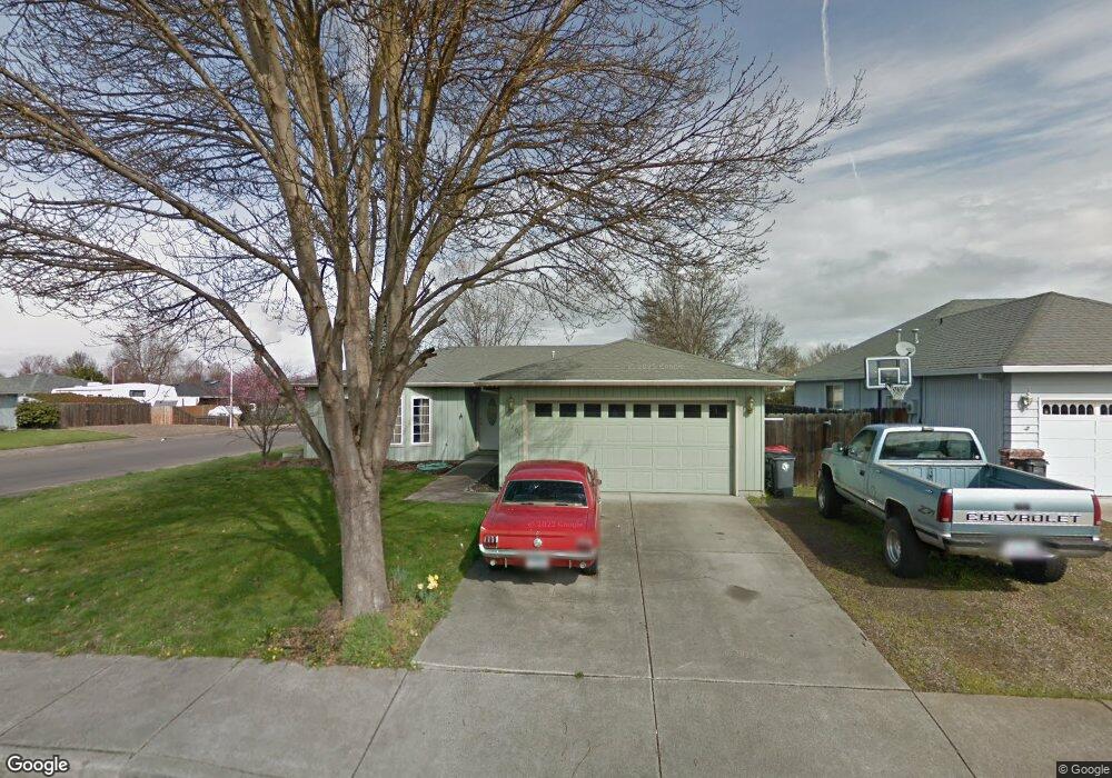
1201 Far West Ave Central Point, OR 97502
Estimated Value: $359,000 - $362,000
3
Beds
2
Baths
1,258
Sq Ft
$287/Sq Ft
Est. Value
About This Home
This home is located at 1201 Far West Ave, Central Point, OR 97502 and is currently estimated at $360,903, approximately $286 per square foot. 1201 Far West Ave is a home located in Jackson County with nearby schools including Howard Elementary School, McLoughlin Middle School, and North Medford High School.
Ownership History
Date
Name
Owned For
Owner Type
Purchase Details
Closed on
Dec 30, 2002
Sold by
Bostwick Jeffrey S and Bostwick Jodi M
Bought by
Lebrun Roy and Lebrun Tina
Current Estimated Value
Home Financials for this Owner
Home Financials are based on the most recent Mortgage that was taken out on this home.
Original Mortgage
$134,833
Outstanding Balance
$56,850
Interest Rate
5.86%
Mortgage Type
FHA
Estimated Equity
$304,053
Create a Home Valuation Report for This Property
The Home Valuation Report is an in-depth analysis detailing your home's value as well as a comparison with similar homes in the area
Home Values in the Area
Average Home Value in this Area
Purchase History
| Date | Buyer | Sale Price | Title Company |
|---|---|---|---|
| Lebrun Roy | $136,950 | First Amer Title Ins Co Of O |
Source: Public Records
Mortgage History
| Date | Status | Borrower | Loan Amount |
|---|---|---|---|
| Open | Lebrun Roy | $134,833 |
Source: Public Records
Tax History Compared to Growth
Tax History
| Year | Tax Paid | Tax Assessment Tax Assessment Total Assessment is a certain percentage of the fair market value that is determined by local assessors to be the total taxable value of land and additions on the property. | Land | Improvement |
|---|---|---|---|---|
| 2025 | $3,279 | $195,980 | $57,430 | $138,550 |
| 2024 | $3,279 | $190,280 | $55,760 | $134,520 |
| 2023 | $3,179 | $184,740 | $54,130 | $130,610 |
| 2022 | $3,099 | $184,740 | $54,130 | $130,610 |
| 2021 | $3,018 | $179,360 | $52,560 | $126,800 |
| 2020 | $2,942 | $174,140 | $51,030 | $123,110 |
| 2019 | $2,870 | $164,150 | $48,110 | $116,040 |
| 2018 | $2,795 | $159,370 | $46,700 | $112,670 |
| 2017 | $2,740 | $159,370 | $46,700 | $112,670 |
| 2016 | $2,681 | $150,230 | $44,010 | $106,220 |
| 2015 | $2,577 | $150,230 | $44,010 | $106,220 |
| 2014 | $2,530 | $141,620 | $41,480 | $100,140 |
Source: Public Records
Map
Nearby Homes
- 3119 Merriman Rd
- 1025 Fairfield Ave
- 1017 Fairfield Ave
- 811 O'Hare Pkwy
- 1060 Hopkins Rd
- 921 Pittview Ave
- 2772 Merriman Rd
- 881 Westrop Dr
- 2825 Howard Ave
- 460 Federal Way
- 928 Brandi Way
- 529 Black Bear Dr
- 659 Herman Ave
- 191 Mellecker Way
- 199 Mellecker Way
- 745 Herman Ave
- 450 Midway Rd Unit 16
- 450 Midway Rd Unit 5
- 246 Reanna Way
- 851 Juanita Way
- 1215 Far Ave W
- 1215 Far West Ave Unit 2
- 1198 Glengrove Ave
- 1203 Green Park Dr
- 1217 Far Ave W
- 1217 Far West Ave Unit 3
- 1208 Glengrove Ave
- 1180 Gate Park Dr
- 1196 Glengrove Ave
- 1220 Far West Ave
- 1205 Glengrove Ave
- 1221 Far Ave W
- 1219 Green Park Dr
- 1221 Far West Ave
- 1216 Glengrove Ave
- 1170 Gate Park Dr
- 1194 Glengrove Ave
- 1223 Glengrove Ave
- 1223 Far West Ave
- 1226 Far West Ave