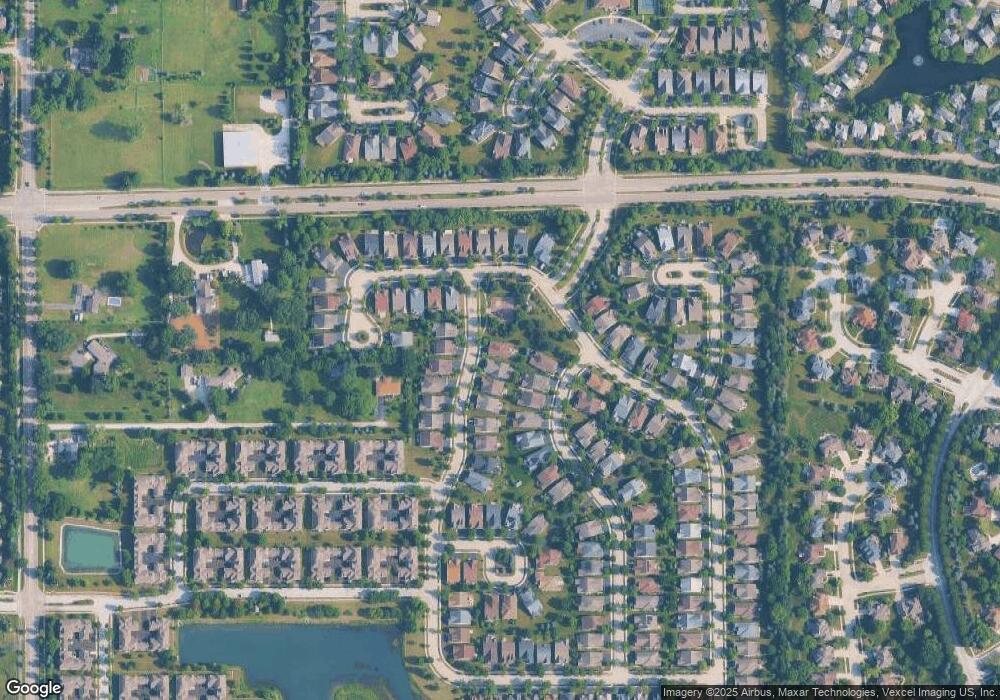
1201 Heathrow Ln Aurora, IL 60502
Indian Creek NeighborhoodEstimated Value: $491,000 - $817,000
2
Beds
2
Baths
1,884
Sq Ft
$307/Sq Ft
Est. Value
About This Home
This home is located at 1201 Heathrow Ln, Aurora, IL 60502 and is currently estimated at $578,700, approximately $307 per square foot. 1201 Heathrow Ln is a home with nearby schools including Mabel O Donnell Elementary School, Simmons Middle School, and East Aurora High School.
Ownership History
Date
Name
Owned For
Owner Type
Purchase Details
Closed on
Jul 29, 2024
Sold by
Dj & Am Klusendorf Family Trust and Klusendorf Donald
Bought by
Djk Trust and Amk Trust
Current Estimated Value
Purchase Details
Closed on
Jul 6, 2015
Sold by
Klusendorf Donald J and Klusendorf Anna M
Bought by
The Dj & Am Klusendorf Family Trust and Klusendorf Anna M
Purchase Details
Closed on
Aug 22, 2013
Sold by
Drh Cambridge Homes Inc
Bought by
Klusendorf Donald J and Klusendorf Anna M
Create a Home Valuation Report for This Property
The Home Valuation Report is an in-depth analysis detailing your home's value as well as a comparison with similar homes in the area
Home Values in the Area
Average Home Value in this Area
Purchase History
| Date | Buyer | Sale Price | Title Company |
|---|---|---|---|
| Djk Trust | -- | None Listed On Document | |
| The Dj & Am Klusendorf Family Trust | -- | Attorney | |
| Klusendorf Donald J | $358,500 | None Available |
Source: Public Records
Tax History
| Year | Tax Paid | Tax Assessment Tax Assessment Total Assessment is a certain percentage of the fair market value that is determined by local assessors to be the total taxable value of land and additions on the property. | Land | Improvement |
|---|---|---|---|---|
| 2024 | $9,354 | $152,452 | $30,536 | $121,916 |
| 2023 | $8,984 | $136,215 | $27,284 | $108,931 |
| 2022 | $8,607 | $124,284 | $24,894 | $99,390 |
| 2021 | $8,453 | $115,710 | $23,177 | $92,533 |
| 2020 | $8,864 | $117,584 | $21,528 | $96,056 |
| 2019 | $8,631 | $108,944 | $19,946 | $88,998 |
| 2018 | $8,814 | $107,794 | $18,450 | $89,344 |
| 2017 | $9,656 | $109,467 | $19,832 | $89,635 |
| 2016 | $9,347 | $99,821 | $18,981 | $80,840 |
| 2015 | -- | $89,972 | $16,322 | $73,650 |
| 2014 | -- | $86,578 | $13,605 | $72,973 |
| 2013 | -- | $27,887 | $410 | $27,477 |
Source: Public Records
Map
Nearby Homes
- 2752 Preserve Cir Unit 13006
- 2748 Preserve Cir Unit 13005
- 2732 Preserve Cir Unit 13001
- 2892 Preserve Cir Unit 5003
- 2888 Preserve Cir Unit 5002
- 1176 Heathrow Ln
- 1771 Briarheath Dr
- 970 Waterside Ct
- 1671 Sheffer Rd
- 2428 Ridgewood Ct
- Lot 1 Reckinger Rd
- 0000 N Farnsworth Ave
- 1060 N Farnsworth Ave Unit 1105
- 1050 N Farnsworth Ave Unit 111
- 1751 Gary Ave
- 1037 Parkhill Cir
- 1110 Oakhill Dr
- 1942 Tall Oaks Dr Unit 3B
- 1223 Townes Cir Unit 48
- 1015 Woodview Ct
- 1197 Heathrow Ln
- 1188 Drury Ln
- 1186 Drury Ln
- 1200 Heathrow Ln
- 1189 Heathrow Ln
- 1206 Heathrow Ln
- 1184 Drury Ln
- 1196 Heathrow Ln
- 1234 Barkston Ln
- 1192 Heathrow Ln
- 1182 Drury Ln
- 1185 Heathrow Ln
- 1236 Barkston Ln
- 1240 Barkston Ln
- 1181 Heathrow Ln
- 1180 Drury Ln
- 1252 Barkston Ln
- 1182 Heathrow Ln
- 1185 Drury Ln
Your Personal Tour Guide
Ask me questions while you tour the home.
