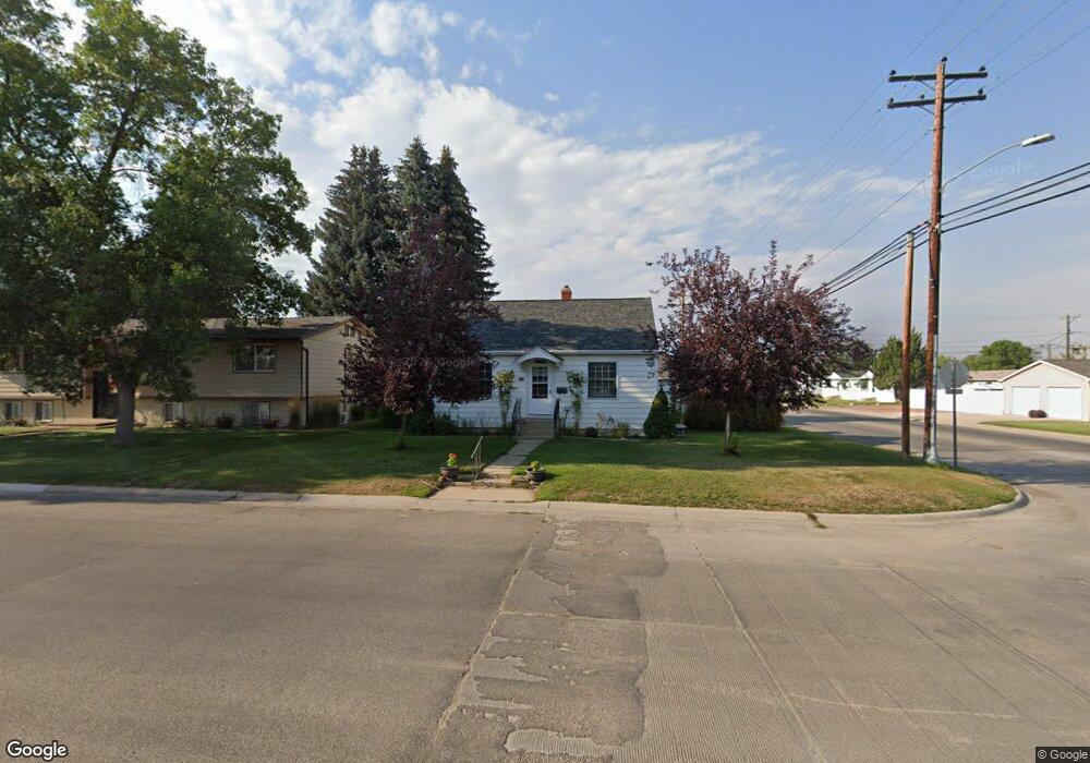
1201 Lewis St Sheridan, WY 82801
Estimated Value: $333,000 - $451,000
3
Beds
2
Baths
1,146
Sq Ft
$331/Sq Ft
Est. Value
About This Home
This home is located at 1201 Lewis St, Sheridan, WY 82801 and is currently estimated at $379,705, approximately $331 per square foot. 1201 Lewis St is a home with nearby schools including Sheridan High School and Martin Luther Grammar School.
Ownership History
Date
Name
Owned For
Owner Type
Purchase Details
Closed on
Sep 30, 2020
Sold by
Mathis Michael A
Bought by
Williams Donald
Current Estimated Value
Home Financials for this Owner
Home Financials are based on the most recent Mortgage that was taken out on this home.
Original Mortgage
$175,000
Outstanding Balance
$155,653
Interest Rate
2.9%
Mortgage Type
New Conventional
Estimated Equity
$224,052
Purchase Details
Closed on
Aug 9, 2016
Sold by
Mathis George M and Mathis Patricia A
Bought by
Mathis Michael A
Purchase Details
Closed on
May 27, 2008
Sold by
Sharp Steven Dean and Sharp Merla Jean
Bought by
Mathis George M and Mathis Patricia A
Home Financials for this Owner
Home Financials are based on the most recent Mortgage that was taken out on this home.
Original Mortgage
$244,800
Interest Rate
6.07%
Mortgage Type
New Conventional
Purchase Details
Closed on
Aug 7, 2006
Sold by
Mathis George M and Mathis Patricia A
Bought by
Mathis George M and Mathis Patricia A
Create a Home Valuation Report for This Property
The Home Valuation Report is an in-depth analysis detailing your home's value as well as a comparison with similar homes in the area
Home Values in the Area
Average Home Value in this Area
Purchase History
| Date | Buyer | Sale Price | Title Company |
|---|---|---|---|
| Williams Donald | -- | None Available | |
| Mathis Michael A | -- | None Available | |
| Mathis George M | -- | None Available | |
| Mathis George M | -- | None Available |
Source: Public Records
Mortgage History
| Date | Status | Borrower | Loan Amount |
|---|---|---|---|
| Open | Williams Donald | $175,000 | |
| Previous Owner | Mathis George M | $244,800 |
Source: Public Records
Tax History Compared to Growth
Tax History
| Year | Tax Paid | Tax Assessment Tax Assessment Total Assessment is a certain percentage of the fair market value that is determined by local assessors to be the total taxable value of land and additions on the property. | Land | Improvement |
|---|---|---|---|---|
| 2025 | $2,246 | $24,240 | $4,954 | $19,286 |
| 2024 | $2,246 | $31,415 | $6,351 | $25,064 |
| 2023 | $2,144 | $29,986 | $5,416 | $24,570 |
| 2022 | $1,890 | $26,439 | $4,840 | $21,599 |
| 2021 | $1,637 | $22,901 | $5,275 | $17,626 |
| 2020 | $1,551 | $21,698 | $4,836 | $16,862 |
| 2019 | $1,524 | $21,311 | $4,836 | $16,475 |
| 2018 | $1,437 | $20,097 | $4,769 | $15,328 |
| 2017 | $1,369 | $19,149 | $4,432 | $14,717 |
| 2015 | $1,415 | $19,795 | $4,039 | $15,756 |
| 2014 | $1,351 | $18,896 | $3,905 | $14,991 |
| 2013 | -- | $18,558 | $3,390 | $15,168 |
Source: Public Records
Map
Nearby Homes
- 1324 Lewis St
- 1290 Burton St Unit D
- 1301 Avon St Unit B
- 0 Avon St
- 924 Avon St
- 1467 Lewis St
- 0 Bellevue Ave
- 36 N Elk St
- 905 W Works St
- 1335 Highland Ave
- 1703 Park Side Ct
- 460 Smith St
- 262 Lewis St
- 556 Old Course Way
- 505 W 8th St
- 0 Sunrise Unit 25-1146
- 1701 Sagebrush Dr
- 1349 Dana Ave
- 489 Nb Ave
- 1430 Omarr Ave