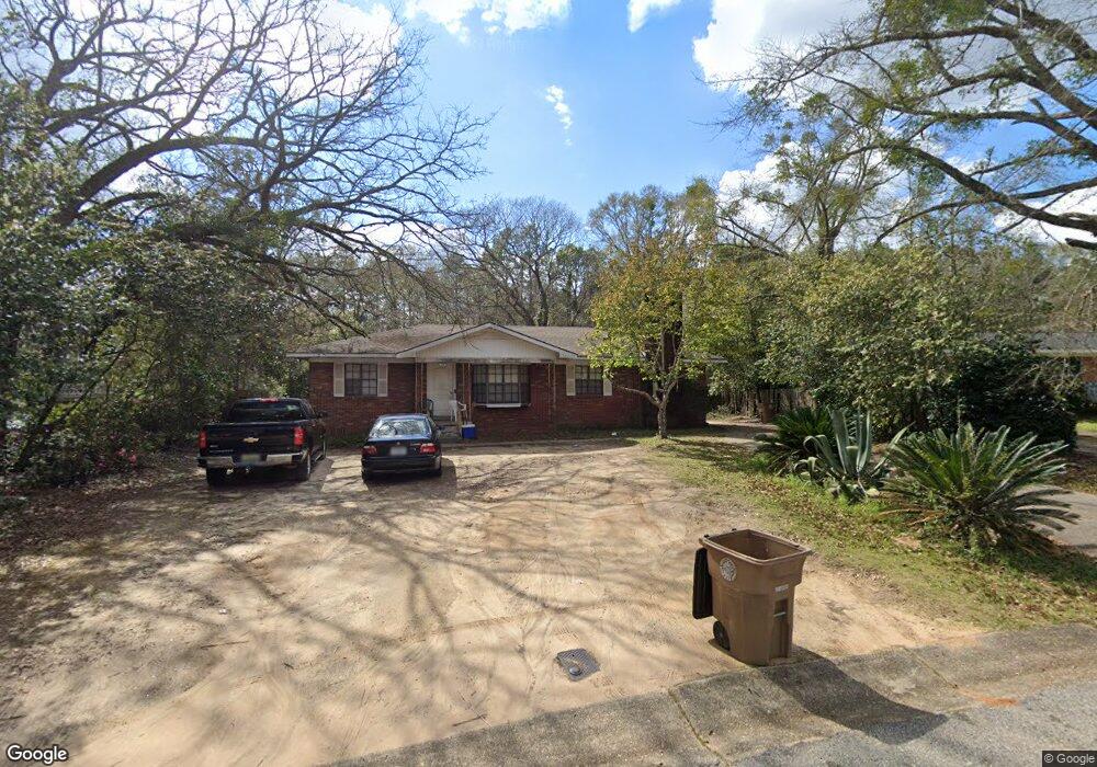
1201 Marietta Dr W Mobile, AL 36618
Bellewood NeighborhoodEstimated Value: $133,000 - $176,000
3
Beds
2
Baths
1,766
Sq Ft
$90/Sq Ft
Est. Value
About This Home
This home is located at 1201 Marietta Dr W, Mobile, AL 36618 and is currently estimated at $158,326, approximately $89 per square foot. 1201 Marietta Dr W is a home located in Mobile County with nearby schools including John Will Elementary School, CL Scarborough Middle School, and Mattie T Blount High School.
Ownership History
Date
Name
Owned For
Owner Type
Purchase Details
Closed on
Feb 2, 2021
Sold by
Williams Darryl
Bought by
Causey Cassandra
Current Estimated Value
Purchase Details
Closed on
Feb 25, 2005
Sold by
Nestor Linda D
Bought by
Williams Cassandra
Home Financials for this Owner
Home Financials are based on the most recent Mortgage that was taken out on this home.
Original Mortgage
$93,900
Interest Rate
8.3%
Create a Home Valuation Report for This Property
The Home Valuation Report is an in-depth analysis detailing your home's value as well as a comparison with similar homes in the area
Home Values in the Area
Average Home Value in this Area
Purchase History
| Date | Buyer | Sale Price | Title Company |
|---|---|---|---|
| Causey Cassandra | $50,000 | None Available | |
| Williams Cassandra | $94,400 | -- |
Source: Public Records
Mortgage History
| Date | Status | Borrower | Loan Amount |
|---|---|---|---|
| Previous Owner | Williams Cassandra | $93,900 |
Source: Public Records
Tax History Compared to Growth
Tax History
| Year | Tax Paid | Tax Assessment Tax Assessment Total Assessment is a certain percentage of the fair market value that is determined by local assessors to be the total taxable value of land and additions on the property. | Land | Improvement |
|---|---|---|---|---|
| 2024 | $771 | $13,020 | $2,000 | $11,020 |
| 2023 | $771 | $10,680 | $2,000 | $8,680 |
| 2022 | $568 | $9,990 | $2,000 | $7,990 |
| 2021 | $568 | $9,990 | $2,000 | $7,990 |
| 2020 | $569 | $10,000 | $2,000 | $8,000 |
| 2019 | $572 | $10,060 | $2,000 | $8,060 |
| 2018 | $540 | $9,560 | $0 | $0 |
| 2017 | $546 | $9,660 | $0 | $0 |
| 2016 | $521 | $9,260 | $0 | $0 |
| 2013 | $610 | $8,960 | $0 | $0 |
Source: Public Records
Map
Nearby Homes
- 913 David Langan Dr W
- 1116 Druid Dr
- 1305 Diane Ct
- 1270 Peabody Dr
- 5055 Druid Dr S
- 5609 Diane Ct
- 5415 Overlook Rd
- 4924 Janice Dr
- 1004 Heidi St
- 5512 Overlook Rd
- 5661 Renn St
- 5654 Overlook Rd
- 803 Nassau Dr
- 5361 Moffett Rd
- 1620 Crestwood Dr
- 1701 Crestwood Dr
- 1058 Matterhorn St
- 5405 Moffett Rd
- 1257 Belle Wood Dr W
- 1313 Innsbruck Dr
- 1205 Marietta Dr W
- 5263 Marietta Dr S
- 1209 Marietta Dr W
- 5259 Marietta Dr S
- 5256 Marietta Dr S
- 1204 Marietta Dr S
- 1204 Marietta Dr W
- 1213 Marietta Dr W
- 5255 Marietta Dr S
- 1208 Marietta Dr W
- 5250 Marietta Dr S
- 1217 Marietta Dr W
- 1212 Marietta Dr W
- 5216 Ferndale Ave
- 5221 Oakhurst Ave
- 1251 Marietta Dr W
- 5221 Marietta Dr S
- 5212 Ferndale Ave
- 5224 Oakhurst Ave
- 5217 Oakhurst Ave