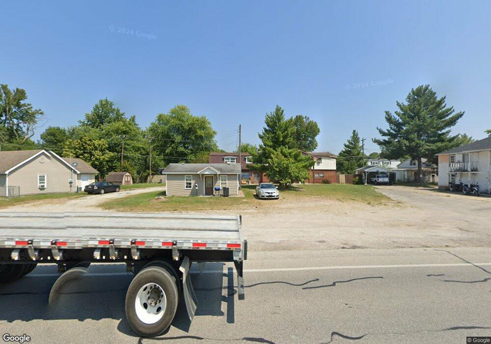
1201 N Highway 31 Austin, IN 47102
Estimated Value: $153,777 - $237,000
3
Beds
3
Baths
3,233
Sq Ft
$60/Sq Ft
Est. Value
About This Home
This home is located at 1201 N Highway 31, Austin, IN 47102 and is currently estimated at $195,194, approximately $60 per square foot. 1201 N Highway 31 is a home located in Scott County with nearby schools including Austin Elementary School, Austin Middle School, and Austin High School.
Ownership History
Date
Name
Owned For
Owner Type
Purchase Details
Closed on
Dec 15, 2021
Sold by
Austin Triplex Properties Llc
Bought by
Boley Judith
Current Estimated Value
Purchase Details
Closed on
Dec 15, 2020
Sold by
Spencer James E and Spencer Marcella J
Bought by
Austin Triplex Properties Llc
Home Financials for this Owner
Home Financials are based on the most recent Mortgage that was taken out on this home.
Original Mortgage
$90,000
Interest Rate
2.71%
Mortgage Type
Seller Take Back
Create a Home Valuation Report for This Property
The Home Valuation Report is an in-depth analysis detailing your home's value as well as a comparison with similar homes in the area
Home Values in the Area
Average Home Value in this Area
Purchase History
| Date | Buyer | Sale Price | Title Company |
|---|---|---|---|
| Boley Judith | $90,000 | Houston, Thompson And Lewis | |
| Austin Triplex Properties Llc | -- | None Available |
Source: Public Records
Mortgage History
| Date | Status | Borrower | Loan Amount |
|---|---|---|---|
| Previous Owner | Austin Triplex Properties Llc | $90,000 |
Source: Public Records
Tax History Compared to Growth
Tax History
| Year | Tax Paid | Tax Assessment Tax Assessment Total Assessment is a certain percentage of the fair market value that is determined by local assessors to be the total taxable value of land and additions on the property. | Land | Improvement |
|---|---|---|---|---|
| 2024 | $1,883 | $76,800 | $13,400 | $63,400 |
| 2023 | $1,997 | $75,500 | $8,100 | $67,400 |
| 2022 | $1,446 | $65,500 | $9,500 | $56,000 |
| 2021 | $1,259 | $60,800 | $9,500 | $51,300 |
| 2020 | $1,230 | $61,500 | $9,500 | $52,000 |
| 2019 | $1,230 | $61,500 | $9,500 | $52,000 |
| 2018 | $1,276 | $63,800 | $9,500 | $54,300 |
| 2017 | $1,282 | $64,100 | $9,500 | $54,600 |
| 2016 | $1,226 | $61,300 | $9,500 | $51,800 |
| 2014 | $1,360 | $68,000 | $12,800 | $55,200 |
| 2013 | $1,360 | $67,600 | $12,900 | $54,700 |
Source: Public Records
Map
Nearby Homes
- 1229 N Highway 31
- 1177 N Highway 31
- 20 Bank St
- 1237 N Highway 31
- 1212 Bond St
- 1255 N Hwy 31
- 1255 N Highway 31
- 1255 N Hwy 31
- 1240 Bond St
- 1255 North Hwy
- 1228 N Highway 31
- 1222 N Highway 31
- 1147 Bond St
- 1273 N Hwy 31
- 1240 N Highway 31
- 1244 N Highway 31
- 1273 N Highway 31
- 1281 N Highway 31
- 1290 Bond St
- 0 Rural St