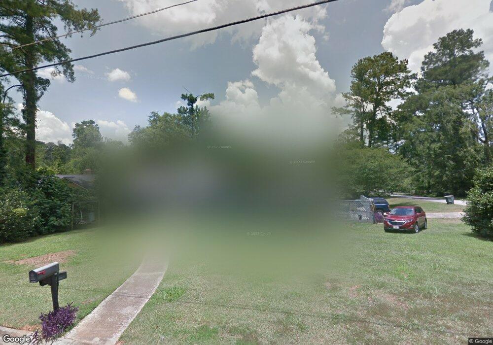
1201 Normandy Rd Macon, GA 31210
Estimated Value: $184,000 - $252,000
3
Beds
3
Baths
2,166
Sq Ft
$101/Sq Ft
Est. Value
About This Home
This home is located at 1201 Normandy Rd, Macon, GA 31210 and is currently estimated at $219,326, approximately $101 per square foot. 1201 Normandy Rd is a home located in Bibb County with nearby schools including Lane Elementary School, Howard Middle School, and Howard High School.
Ownership History
Date
Name
Owned For
Owner Type
Purchase Details
Closed on
Jul 9, 2016
Sold by
Steven F
Bought by
Crumbley Melva and Crumbley Steven F
Current Estimated Value
Home Financials for this Owner
Home Financials are based on the most recent Mortgage that was taken out on this home.
Original Mortgage
$82,050
Interest Rate
3.6%
Mortgage Type
New Conventional
Purchase Details
Closed on
Aug 6, 1999
Bought by
Crumbley Steven F
Create a Home Valuation Report for This Property
The Home Valuation Report is an in-depth analysis detailing your home's value as well as a comparison with similar homes in the area
Purchase History
| Date | Buyer | Sale Price | Title Company |
|---|---|---|---|
| Crumbley Melva | -- | -- | |
| Crumbley Steven F | $97,000 | -- |
Source: Public Records
Mortgage History
| Date | Status | Borrower | Loan Amount |
|---|---|---|---|
| Previous Owner | Crumbley Melva | $82,050 |
Source: Public Records
Tax History
| Year | Tax Paid | Tax Assessment Tax Assessment Total Assessment is a certain percentage of the fair market value that is determined by local assessors to be the total taxable value of land and additions on the property. | Land | Improvement |
|---|---|---|---|---|
| 2025 | $1,395 | $71,360 | $10,750 | $60,610 |
| 2024 | $1,445 | $71,360 | $10,750 | $60,610 |
| 2023 | $578 | $53,527 | $8,600 | $44,927 |
| 2022 | $1,686 | $60,530 | $8,272 | $52,258 |
| 2021 | $1,555 | $52,680 | $6,948 | $45,732 |
| 2020 | $1,535 | $51,306 | $6,948 | $44,358 |
| 2019 | $1,331 | $45,811 | $6,948 | $38,863 |
| 2018 | $2,261 | $41,710 | $6,287 | $35,423 |
| 2017 | $1,211 | $39,315 | $6,640 | $32,675 |
| 2016 | $1,058 | $37,592 | $6,640 | $30,952 |
| 2015 | $1,498 | $37,592 | $6,640 | $30,952 |
| 2014 | $1,821 | $38,417 | $7,378 | $31,039 |
Source: Public Records
Map
Nearby Homes
- 1209 Normandy Rd
- 1161 Ousley Place
- 1024 Normandy Rd
- 3678 Northside Dr
- 3640 Northside Dr
- 3622 Northside Dr
- 3602 Northside Dr
- 870 Glen Hill Ct
- 3500 Northside Dr
- 1422 Forest Hill Rd
- 843 Green Oak Terrace
- 122 Lundy Ct
- 3565 Athens Dr
- 4070 Carrie Ct
- 840 Balim Ct
- 4015 Elnora Dr
- 681 Forest Lake Dr N
- 166 Brookstone Way
- 636 Lokchapee Ridge
- 835 Old Lundy Rd
- 1197 Normandy Rd
- 1081 Ousley Place
- 1219 Normandy Rd
- 1071 Ousley Place
- 1244 Newport Place
- 1105 Ousley Place
- 1210 Normandy Rd
- 1210 Normandy Rd Unit 7
- 1189 Normandy Rd
- 1196 Normandy Rd
- 1061 Ousley Place
- 1227 Normandy Rd
- 1220 Normandy Rd
- 1115 Ousley Place
- 1234 Newport Place
- 1181 Normandy Rd
- 1235 Newport Place
- 1228 Normandy Rd
- 1047 Ousley Place
- 1080 Ousley Place
Your Personal Tour Guide
Ask me questions while you tour the home.