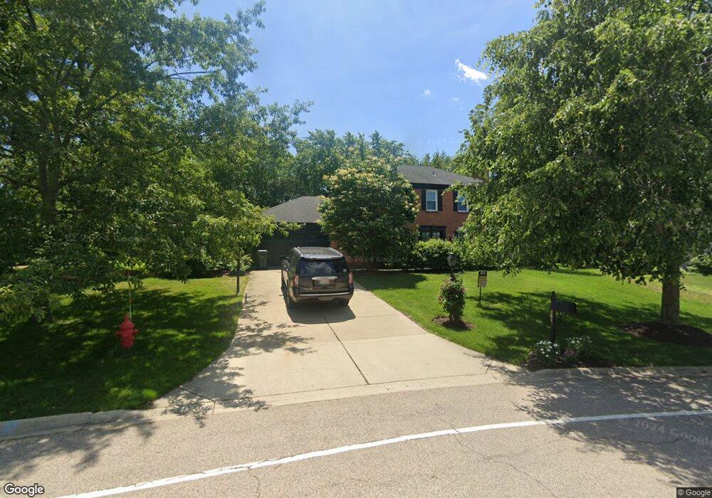
1201 Oak Ridge Cir Unit 5 Barrington, IL 60010
South Barrington NeighborhoodEstimated Value: $739,000 - $916,000
4
Beds
3
Baths
2,614
Sq Ft
$301/Sq Ft
Est. Value
About This Home
This home is located at 1201 Oak Ridge Cir Unit 5, Barrington, IL 60010 and is currently estimated at $787,539, approximately $301 per square foot. 1201 Oak Ridge Cir Unit 5 is a home located in Cook County with nearby schools including Arnett C. Lines Elementary School, Barrington Middle School Station Campus, and Barrington High School.
Ownership History
Date
Name
Owned For
Owner Type
Purchase Details
Closed on
May 26, 2011
Sold by
Chicago Title Land Trust Company
Bought by
Roberts Jay Ryan and Roberts Krista J
Current Estimated Value
Home Financials for this Owner
Home Financials are based on the most recent Mortgage that was taken out on this home.
Original Mortgage
$382,500
Outstanding Balance
$265,782
Interest Rate
4.8%
Mortgage Type
New Conventional
Estimated Equity
$521,757
Create a Home Valuation Report for This Property
The Home Valuation Report is an in-depth analysis detailing your home's value as well as a comparison with similar homes in the area
Home Values in the Area
Average Home Value in this Area
Purchase History
| Date | Buyer | Sale Price | Title Company |
|---|---|---|---|
| Roberts Jay Ryan | $425,000 | Chicago Title Land Trust Co |
Source: Public Records
Mortgage History
| Date | Status | Borrower | Loan Amount |
|---|---|---|---|
| Open | Roberts Jay Ryan | $382,500 |
Source: Public Records
Tax History Compared to Growth
Tax History
| Year | Tax Paid | Tax Assessment Tax Assessment Total Assessment is a certain percentage of the fair market value that is determined by local assessors to be the total taxable value of land and additions on the property. | Land | Improvement |
|---|---|---|---|---|
| 2024 | $11,434 | $54,000 | $6,597 | $47,403 |
| 2023 | $11,159 | $54,000 | $6,597 | $47,403 |
| 2022 | $11,159 | $54,000 | $6,597 | $47,403 |
| 2021 | $9,907 | $42,987 | $4,031 | $38,956 |
| 2020 | $9,617 | $42,987 | $4,031 | $38,956 |
| 2019 | $9,425 | $47,605 | $4,031 | $43,574 |
| 2018 | $9,894 | $47,954 | $3,664 | $44,290 |
| 2017 | $9,709 | $47,954 | $3,664 | $44,290 |
| 2016 | $9,943 | $47,954 | $3,664 | $44,290 |
| 2015 | $10,158 | $45,220 | $3,298 | $41,922 |
| 2014 | $10,044 | $45,220 | $3,298 | $41,922 |
| 2013 | $9,621 | $45,220 | $3,298 | $41,922 |
Source: Public Records
Map
Nearby Homes
- 117 Beverly Rd
- 1010 Oakland Dr
- 104 Howe Terrace
- 336 Eastern Ave Unit C4
- 101 Surrey Ln
- 175 Hilltop Ave
- 216 Beverly Rd
- 319 S Glendale Ave Unit 204
- 185 Cold Spring Rd
- 248 Beverly Rd
- 290 Cold Spring Rd
- 721 Concord Ln
- 432 Whitney Dr
- 534 E Main St
- 110 Tudor Dr
- 733 Prairie Ave
- 1288 The Point St
- 345 E Russell St
- 1312 Lake Shore Dr N Unit 7
- 755 Division St
- 1221 Oak Ridge Cir
- 1181 Oak Ridge Cir
- 920 Lakewood Dr
- 922 Lakewood Dr
- 450 Red Barn Ln
- 1161 Oak Ridge Cir
- 1210 Oak Ridge Cir Unit 5
- 430 Red Barn Ln Unit 5
- 918 Lakewood Dr
- 1230 Oak Ridge Cir Unit 5
- 470 Red Barn Ln
- 924 Lakewood Dr
- 1141 Oak Ridge Cir
- 1190 Oak Ridge Cir
- 370 Red Barn Ln
- 445 Red Barn Ln
- 490 Red Barn Ln
- 1121 Oak Ridge Cir
- 919 Lakewood Dr
- 1170 Oak Ridge Cir