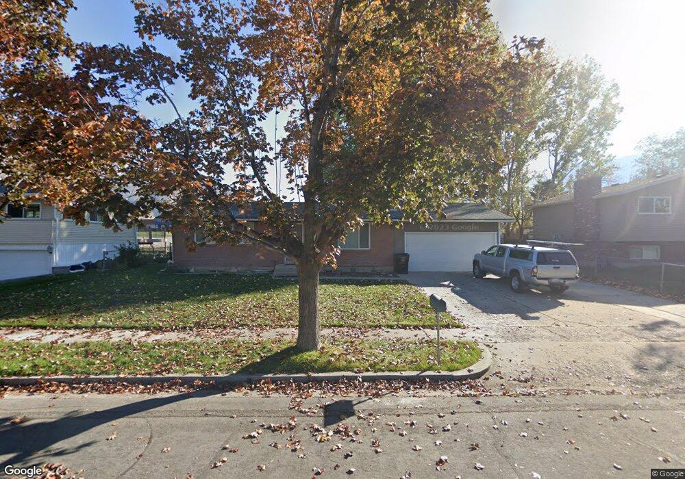
1201 S 550 E Springville, UT 84663
Evergreen NeighborhoodEstimated Value: $426,000 - $452,599
3
Beds
2
Baths
975
Sq Ft
$448/Sq Ft
Est. Value
About This Home
This home is located at 1201 S 550 E, Springville, UT 84663 and is currently estimated at $437,200, approximately $448 per square foot. 1201 S 550 E is a home located in Utah County with nearby schools including Sage Creek Elementary, Springville High School, and Springville Junior High School.
Ownership History
Date
Name
Owned For
Owner Type
Purchase Details
Closed on
Dec 21, 2021
Sold by
Ahlborn Eric R and Ahlborn Julie A
Bought by
Ahlborn Trust
Current Estimated Value
Purchase Details
Closed on
May 6, 1999
Sold by
Wilson Barbara L T
Bought by
Ahlborn Eric R and Ahlborn Julie A
Home Financials for this Owner
Home Financials are based on the most recent Mortgage that was taken out on this home.
Original Mortgage
$114,450
Interest Rate
6.96%
Mortgage Type
FHA
Purchase Details
Closed on
Aug 19, 1997
Sold by
Wilson Barbara L
Bought by
Wilson Barbara L T
Home Financials for this Owner
Home Financials are based on the most recent Mortgage that was taken out on this home.
Original Mortgage
$72,000
Interest Rate
7.45%
Create a Home Valuation Report for This Property
The Home Valuation Report is an in-depth analysis detailing your home's value as well as a comparison with similar homes in the area
Home Values in the Area
Average Home Value in this Area
Purchase History
| Date | Buyer | Sale Price | Title Company |
|---|---|---|---|
| Ahlborn Trust | -- | David Kirton Mcconkie | |
| Ahlborn Eric R | -- | Backman Stewart Title | |
| Wilson Barbara L T | -- | -- |
Source: Public Records
Mortgage History
| Date | Status | Borrower | Loan Amount |
|---|---|---|---|
| Previous Owner | Ahlborn Eric R | $114,450 | |
| Previous Owner | Wilson Barbara L T | $72,000 |
Source: Public Records
Tax History
| Year | Tax Paid | Tax Assessment Tax Assessment Total Assessment is a certain percentage of the fair market value that is determined by local assessors to be the total taxable value of land and additions on the property. | Land | Improvement |
|---|---|---|---|---|
| 2025 | $2,039 | $223,410 | -- | -- |
| 2024 | $2,039 | $208,890 | $0 | $0 |
| 2023 | $1,973 | $202,290 | $0 | $0 |
| 2022 | $2,064 | $207,845 | $0 | $0 |
| 2021 | $1,854 | $290,700 | $102,600 | $188,100 |
| 2020 | $1,678 | $255,000 | $76,000 | $179,000 |
| 2019 | $1,565 | $242,100 | $68,800 | $173,300 |
| 2018 | $1,487 | $219,500 | $65,100 | $154,400 |
| 2017 | $1,391 | $109,065 | $0 | $0 |
| 2016 | $1,326 | $101,915 | $0 | $0 |
| 2015 | $1,169 | $91,905 | $0 | $0 |
| 2014 | $1,143 | $89,210 | $0 | $0 |
Source: Public Records
Map
Nearby Homes
- 1518 S 600 E
- 942 Sage Creek Cir
- 1010 S 400 E Unit 21
- 1010 S 400 E Unit 39
- 677 E 800 South St
- 579 E 800 St S
- 629 E 800 St S
- 1121 W 1800 N
- 949 S 1060 E
- 883 E 700 S
- 645 Swenson Ave Unit 5
- 645 Swenson Ave Unit 3
- 1195 W 1600 N
- 1632 S Main St
- 337 E 600 S
- 50 E 750 S Unit 25
- 445 E 535 S
- 934 S State Rd Unit 208
- 928 S State Rd Unit 207
- 1206 E 1150 S
Your Personal Tour Guide
Ask me questions while you tour the home.