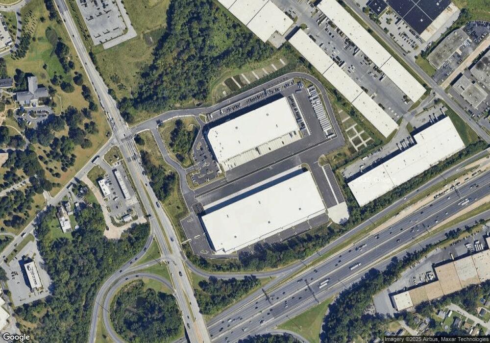
1201 S Caton Ave Baltimore, MD 21227
Estimated Value: $88,285,220
Studio
--
Bath
300,513
Sq Ft
$294/Sq Ft
Est. Value
About This Home
This home is located at 1201 S Caton Ave, Baltimore, MD 21227 and is currently estimated at $88,285,220, approximately $293 per square foot. 1201 S Caton Ave is a home located in Baltimore City with nearby schools including Violetville Elementary/Middle School, Booker T. Washington Middle School, and Frederick Douglass High School.
Ownership History
Date
Name
Owned For
Owner Type
Purchase Details
Closed on
Jan 14, 2025
Sold by
City Logistics Baltimore Llc
Bought by
Comref City Logistics Llc
Current Estimated Value
Purchase Details
Closed on
Oct 27, 2021
Sold by
Roman Catholic Archbishop Of Baltimore
Bought by
City Logistics Baltimore Llc
Home Financials for this Owner
Home Financials are based on the most recent Mortgage that was taken out on this home.
Original Mortgage
$1,262,175
Interest Rate
3.01%
Mortgage Type
Construction
Create a Home Valuation Report for This Property
The Home Valuation Report is an in-depth analysis detailing your home's value as well as a comparison with similar homes in the area
Purchase History
| Date | Buyer | Sale Price | Title Company |
|---|---|---|---|
| Comref City Logistics Llc | -- | Chicago Title | |
| Comref City Logistics Llc | $85,450,000 | Chicago Title | |
| Comref City Logistics Llc | $85,450,000 | Chicago Title | |
| City Logistics Baltimore Llc | -- | None Available | |
| City Logistics Baltimore Llc | $18,000,000 | None Available |
Source: Public Records
Mortgage History
| Date | Status | Borrower | Loan Amount |
|---|---|---|---|
| Previous Owner | City Logistics Baltimore Llc | $1,262,175 | |
| Previous Owner | City Logistics Baltimore Llc | $37,910,000 |
Source: Public Records
Tax History
| Year | Tax Paid | Tax Assessment Tax Assessment Total Assessment is a certain percentage of the fair market value that is determined by local assessors to be the total taxable value of land and additions on the property. | Land | Improvement |
|---|---|---|---|---|
| 2025 | $170,948 | $31,984,067 | -- | -- |
| 2024 | $170,948 | $24,045,200 | -- | -- |
Source: Public Records
Map
Nearby Homes
- 1052 Parksley Ave
- 3101 Wilkens Ave
- 1613 S Ellamont St
- 3356 Wilkens Ave
- 3424 Wilkens Ave
- 3644 Benson Ave
- 3643 Greenvale Rd
- 111 S Caton Ave
- 1803 Casadel Ave
- 2805 Sunset Dr
- 3658 Greenvale Rd
- 3650 Clarenell Rd
- 3653 Mactavish Ave
- 3517 Wilkens Ave
- 3521 Wilkens Ave
- 3024 Strickland St
- 3547 Benzinger Rd
- 537 S Longwood St
- 3542 Benzinger Rd
- 1704 Harman Ave
- 1201 Bloomfield Ave
- 1202 S Caton Ave
- 3307 Benson Ave
- 3309 Benson Ave
- 3401 Benson Ave
- 3405 Benson Ave
- 3407 Benson Ave
- 1250 Forest Hill Ave
- 0 Gloster Ave Unit 1003111352
- 0 Gloster Ave
- 0 Gloster Ave Unit 1009272842
- 1301 Forest Hill Ave
- 1053 Desoto Rd
- 1051 Desoto Rd
- 1049 Desoto Rd
- 1303 Forest Hill Ave
- 3308 Benson Ave
- 1047 Desoto Rd
- 1302 Saint Marks Ave
- 1045 Desoto Rd
Your Personal Tour Guide
Ask me questions while you tour the home.