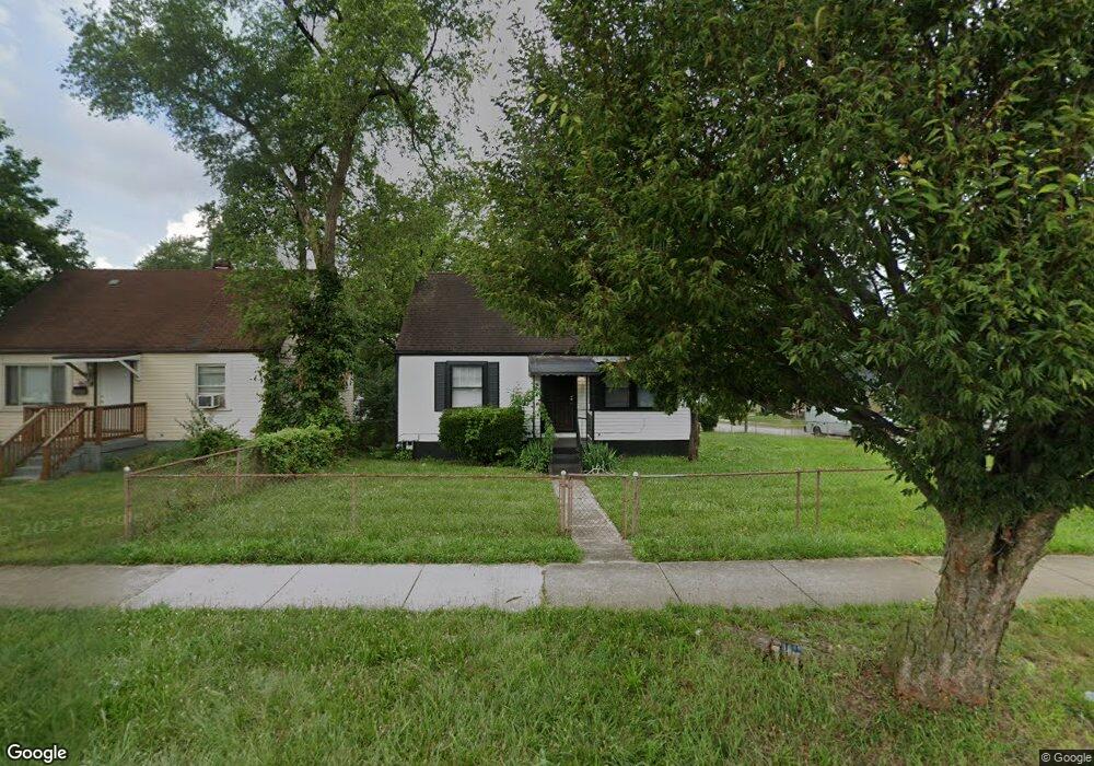
1201 S Edwin C Moses Blvd Dayton, OH 45417
Carillon NeighborhoodEstimated Value: $81,000 - $107,000
3
Beds
1
Bath
1,050
Sq Ft
$91/Sq Ft
Est. Value
About This Home
This home is located at 1201 S Edwin C Moses Blvd, Dayton, OH 45417 and is currently estimated at $95,615, approximately $91 per square foot. 1201 S Edwin C Moses Blvd is a home located in Montgomery County with nearby schools including International School at Residence Park, Louise Troy Elementary, and Westwood Elementary.
Ownership History
Date
Name
Owned For
Owner Type
Purchase Details
Closed on
Aug 13, 2024
Sold by
Sutton Eric K and Sutton Jennifer A
Bought by
Sutton Family Trust and Sutton
Current Estimated Value
Purchase Details
Closed on
Sep 9, 2016
Sold by
Sutton Erik K
Bought by
Sutton Erik K and Sutton Jennifer A
Purchase Details
Closed on
May 15, 2014
Sold by
Sutton Geneva and Sutton Geneva
Bought by
Sutton Eric K
Purchase Details
Closed on
Oct 29, 2013
Sold by
Estate Of Randolph Sutton Jr
Bought by
Sutton Geneva and Sutton Geneva
Create a Home Valuation Report for This Property
The Home Valuation Report is an in-depth analysis detailing your home's value as well as a comparison with similar homes in the area
Home Values in the Area
Average Home Value in this Area
Purchase History
| Date | Buyer | Sale Price | Title Company |
|---|---|---|---|
| Sutton Family Trust | -- | None Listed On Document | |
| Sutton Erik K | -- | None Available | |
| Sutton Eric K | $44,500 | None Available | |
| Sutton Geneva | -- | None Available |
Source: Public Records
Tax History Compared to Growth
Tax History
| Year | Tax Paid | Tax Assessment Tax Assessment Total Assessment is a certain percentage of the fair market value that is determined by local assessors to be the total taxable value of land and additions on the property. | Land | Improvement |
|---|---|---|---|---|
| 2024 | $1,281 | $21,590 | $2,790 | $18,800 |
| 2023 | $1,281 | $21,590 | $2,790 | $18,800 |
| 2022 | $1,186 | $15,420 | $1,990 | $13,430 |
| 2021 | $1,180 | $15,420 | $1,990 | $13,430 |
| 2020 | $1,178 | $15,420 | $1,990 | $13,430 |
| 2019 | $1,090 | $12,790 | $1,990 | $10,800 |
| 2018 | $1,091 | $12,790 | $1,990 | $10,800 |
| 2017 | $1,083 | $12,790 | $1,990 | $10,800 |
| 2016 | $1,107 | $12,440 | $1,990 | $10,450 |
| 2015 | $1,049 | $12,440 | $1,990 | $10,450 |
| 2014 | $1,049 | $12,440 | $1,990 | $10,450 |
| 2012 | -- | $13,730 | $2,510 | $11,220 |
Source: Public Records
Map
Nearby Homes
- 557 Harriet St
- 63 Grady Ct
- 112 E Lincoln St
- 116 E Lincoln St
- 324 & 328 Warren St Unit 324
- 772 Edgemont Ave
- 306 Warren St
- 61 Park Dr
- 419 Alberta St
- 0 Pointe Oakwood Way Unit 928860
- 349 Morton Ave
- 337 Wyoming St
- 51 Rogge St
- 322 Hickory St
- 200 Maysfield Rd
- 124 Bonner St
- 1160 Waving Willow Dr
- 229 Park Dr
- 110 Jones St
- 1244 S Broadway St Unit 1242
- 1207 S Edwin C Moses Blvd
- 1141 S Edwin C Moses Blvd
- 218 Smith St
- 1213 S Edwin C Moses Blvd
- 213 Smith St
- 224 Smith St
- 219 Smith St
- 1135 S Edwin C Moses Blvd
- 305 W Stewart St
- 321 W Stewart St
- 225 Smith St
- 230 Smith St
- 325 W Stewart St
- 231 Smith St
- 236 Smith St
- 329 W Stewart St
- 237 Smith St
- 240 Smith St
- 1301 S Edwin C Moses Blvd
- 241 Smith St