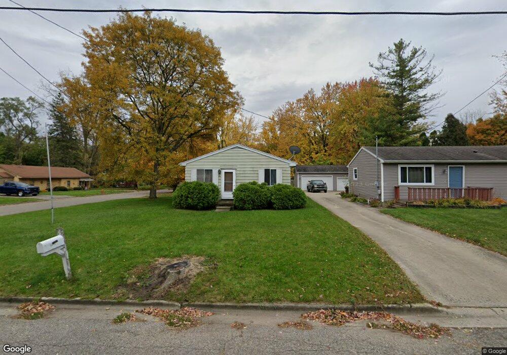
1201 Southfield Ave Lansing, MI 48911
Southern Lansing NeighborhoodEstimated Value: $95,202 - $132,000
--
Bed
--
Bath
768
Sq Ft
$151/Sq Ft
Est. Value
About This Home
This home is located at 1201 Southfield Ave, Lansing, MI 48911 and is currently estimated at $116,051, approximately $151 per square foot. 1201 Southfield Ave is a home located in Ingham County with nearby schools including Reo Elementary School, Attwood School, and Everett High School.
Ownership History
Date
Name
Owned For
Owner Type
Purchase Details
Closed on
Dec 13, 2005
Sold by
Womble Randy L and Womble Wendy A
Bought by
Gippert Arvin V and Gippert Cheryl L
Current Estimated Value
Home Financials for this Owner
Home Financials are based on the most recent Mortgage that was taken out on this home.
Original Mortgage
$71,100
Outstanding Balance
$40,088
Interest Rate
6.42%
Mortgage Type
Fannie Mae Freddie Mac
Estimated Equity
$75,963
Purchase Details
Closed on
Aug 16, 2000
Sold by
Harmon Richard A and Harmon Sally A
Bought by
Womble Randy L and Womble Wendy A
Home Financials for this Owner
Home Financials are based on the most recent Mortgage that was taken out on this home.
Original Mortgage
$64,549
Interest Rate
8.26%
Mortgage Type
FHA
Create a Home Valuation Report for This Property
The Home Valuation Report is an in-depth analysis detailing your home's value as well as a comparison with similar homes in the area
Home Values in the Area
Average Home Value in this Area
Purchase History
| Date | Buyer | Sale Price | Title Company |
|---|---|---|---|
| Gippert Arvin V | $71,100 | Fatic | |
| Womble Randy L | $64,900 | First American Title Ins Co |
Source: Public Records
Mortgage History
| Date | Status | Borrower | Loan Amount |
|---|---|---|---|
| Open | Gippert Arvin V | $71,100 | |
| Previous Owner | Womble Randy L | $64,549 |
Source: Public Records
Tax History Compared to Growth
Tax History
| Year | Tax Paid | Tax Assessment Tax Assessment Total Assessment is a certain percentage of the fair market value that is determined by local assessors to be the total taxable value of land and additions on the property. | Land | Improvement |
|---|---|---|---|---|
| 2025 | $1,948 | $50,100 | $6,900 | $43,200 |
| 2024 | $15 | $38,000 | $6,900 | $31,100 |
| 2023 | $1,829 | $33,800 | $6,900 | $26,900 |
| 2022 | $1,652 | $32,400 | $7,000 | $25,400 |
| 2021 | $1,618 | $32,700 | $6,200 | $26,500 |
| 2020 | $1,607 | $31,000 | $6,200 | $24,800 |
| 2019 | $1,539 | $27,500 | $6,200 | $21,300 |
| 2018 | $1,445 | $24,300 | $6,200 | $18,100 |
| 2017 | $1,382 | $24,300 | $6,200 | $18,100 |
| 2016 | $1,322 | $23,900 | $6,200 | $17,700 |
| 2015 | $1,322 | $23,400 | $12,417 | $10,983 |
| 2014 | $1,322 | $22,800 | $14,795 | $8,005 |
Source: Public Records
Map
Nearby Homes
- 1119 W Miller Rd
- 6037 Hughes Rd
- 1020 R G Curtiss Ave
- 6270 S Washington Ave
- 6421 S Washington Ave
- 5750 Ashley Dr
- 5838 S Martin Luther King Junior Blvd
- 1014 W Northrup St
- 5902 Hilliard Rd
- 6030 Piper Ave
- 2626 Little Hickory Dr
- 6444 Sommerset Rd
- 6029 Ellendale Dr
- 218 Raritan Rd
- 5636 Ellendale Dr
- 6429 Rosedale Rd
- 825 Ferley St
- 6820 Richard Rd
- 6819 Richard Rd
- 5727 Annapolis Dr
- 1207 Southfield Ave
- 1213 Southfield Ave
- 6201 Barker St
- 6214 Barker St
- 1217 Southfield Ave
- 6213 Yunker St
- 1200 Southfield Ave
- 6223 Barker St
- 6201 Yunker St
- 6226 Barker St
- 1107 Southfield Ave
- 1124 Southfield Ave
- 6223 Yunker St
- 6121 Yunker St
- 6229 Barker St
- 1118 Southfield Ave
- 6229 Yunker St
- 6115 Yunker St
- 6232 Barker St
- 6216 Shreve St