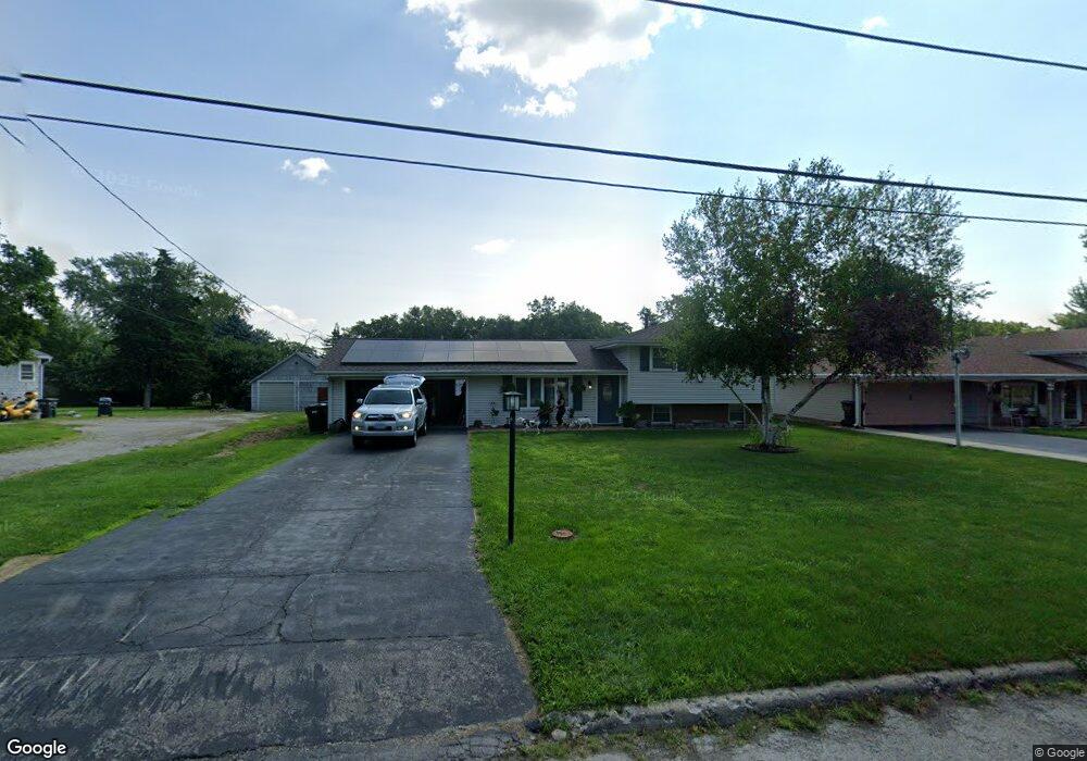
1201 Springfield Rd East Peoria, IL 61611
Estimated Value: $183,000 - $203,000
3
Beds
2
Baths
1,532
Sq Ft
$126/Sq Ft
Est. Value
About This Home
This home is located at 1201 Springfield Rd, East Peoria, IL 61611 and is currently estimated at $193,563, approximately $126 per square foot. 1201 Springfield Rd is a home located in Tazewell County with nearby schools including Don D. Shute Elementary School, Lincoln Elementary School, and Central Junior High School.
Ownership History
Date
Name
Owned For
Owner Type
Purchase Details
Closed on
Jul 10, 2011
Sold by
Kallister Hollis Anne
Bought by
Hathaway Lowell T and Hathaway Chris Ellen
Current Estimated Value
Home Financials for this Owner
Home Financials are based on the most recent Mortgage that was taken out on this home.
Original Mortgage
$108,900
Outstanding Balance
$8,182
Interest Rate
4.54%
Mortgage Type
New Conventional
Estimated Equity
$185,381
Purchase Details
Closed on
Jan 14, 2011
Sold by
Hellhake Hall Gerri and Hall Melvin A
Bought by
Kallister Hollis Anne
Create a Home Valuation Report for This Property
The Home Valuation Report is an in-depth analysis detailing your home's value as well as a comparison with similar homes in the area
Home Values in the Area
Average Home Value in this Area
Purchase History
| Date | Buyer | Sale Price | Title Company |
|---|---|---|---|
| Hathaway Lowell T | $121,000 | None Available | |
| Kallister Hollis Anne | $119,500 | None Available |
Source: Public Records
Mortgage History
| Date | Status | Borrower | Loan Amount |
|---|---|---|---|
| Open | Hathaway Lowell T | $108,900 |
Source: Public Records
Tax History Compared to Growth
Tax History
| Year | Tax Paid | Tax Assessment Tax Assessment Total Assessment is a certain percentage of the fair market value that is determined by local assessors to be the total taxable value of land and additions on the property. | Land | Improvement |
|---|---|---|---|---|
| 2024 | $4,272 | $54,710 | $7,660 | $47,050 |
| 2023 | $4,272 | $50,230 | $7,030 | $43,200 |
| 2022 | $4,020 | $46,460 | $6,500 | $39,960 |
| 2021 | $3,835 | $44,670 | $6,250 | $38,420 |
| 2020 | $3,749 | $44,670 | $6,250 | $38,420 |
| 2019 | $3,723 | $44,670 | $6,250 | $38,420 |
| 2018 | $3,620 | $44,670 | $6,250 | $38,420 |
| 2017 | $3,582 | $44,670 | $6,250 | $38,420 |
| 2016 | $3,569 | $45,040 | $5,160 | $39,880 |
| 2015 | $3,379 | $0 | $0 | $0 |
| 2013 | $3,401 | $43,640 | $5,000 | $38,640 |
Source: Public Records
Map
Nearby Homes
- 1203 Springfield Rd
- 1004 Springfield Rd
- 1406 Springfield Rd
- 1604 Springfield Rd
- 106 Field Grove Rd
- 223 Kerfoot St
- 404 Rainbow Dr
- 717 Bloomington Rd
- 210 Stewart St
- 101 Woodbrook Ct
- 108 Kohl St
- 118 Gottlieb Ct
- 315 Pekin Ave
- 2217 Springfield Rd
- 628 Lorentz St
- 123 Holland Ct
- 515 Briarbrook Dr
- 617 N Stewart St
- 529 Carola St
- 129 Glenridge Dr
- 1121 Springfield Rd
- 221 Cobblestone Ln
- 217 Cobblestone Ln
- 1205 Springfield Rd
- 104 Season Dr
- 1202 Springfield Rd
- 100 Season Dr
- 1207 Springfield Rd
- 213 Cobblestone Ln
- 108 Season Dr
- 1204 Springfield Rd
- 1120 Springfield Rd
- 209 Cobblestone Ln
- 1118 Springfield Rd
- 200 Season Dr
- 220 Cobblestone Ln
- 1213 Springfield Rd
- 1208 Springfield Rd
- 212 Cobblestone Ln
- 204 Season Dr