--
Bed
--
Bath
--
Sq Ft
2.24
Acres
About This Home
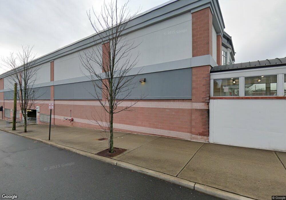
This home is located at 1201 Stuyvesant Ave, Union, NJ 07083. 1201 Stuyvesant Ave is a home with nearby schools including Franklin Elementary School, Burnet Middle School, and Union High School.
Ownership History
Date
Name
Owned For
Owner Type
Purchase Details
Closed on
Dec 28, 2012
Sold by
Diener Family Partnership Lp and Diener Lawrence B
Bought by
1211 Stuyesant Avenue Llc
Purchase Details
Closed on
Dec 17, 1998
Sold by
Diener Family Partnership Lp
Bought by
Beatrice Diener 1992 Trust I and Diener Family Partnership Lp
Purchase Details
Closed on
Jan 2, 1998
Sold by
Blenden Marjorie
Bought by
Diener Family Partnership Lp
Create a Home Valuation Report for This Property
The Home Valuation Report is an in-depth analysis detailing your home's value as well as a comparison with similar homes in the area
Home Values in the Area
Average Home Value in this Area
Purchase History
| Date | Buyer | Sale Price | Title Company |
|---|---|---|---|
| 1211 Stuyesant Avenue Llc | -- | None Available | |
| Beatrice Diener 1992 Trust I | -- | -- | |
| Diener Family Partnership Lp | -- | -- |
Source: Public Records
Tax History Compared to Growth
Tax History
| Year | Tax Paid | Tax Assessment Tax Assessment Total Assessment is a certain percentage of the fair market value that is determined by local assessors to be the total taxable value of land and additions on the property. | Land | Improvement |
|---|---|---|---|---|
| 2025 | $394,818 | $1,683,300 | $389,500 | $1,293,800 |
| 2024 | $384,297 | $1,683,300 | $389,500 | $1,293,800 |
| 2023 | $384,297 | $1,683,300 | $389,500 | $1,293,800 |
| 2022 | $370,663 | $1,683,300 | $389,500 | $1,293,800 |
| 2021 | $362,297 | $1,683,300 | $389,500 | $1,293,800 |
| 2020 | $355,597 | $1,683,300 | $389,500 | $1,293,800 |
| 2019 | $352,550 | $1,683,300 | $389,500 | $1,293,800 |
| 2018 | $326,510 | $1,683,300 | $389,500 | $1,293,800 |
| 2017 | $340,767 | $1,683,300 | $389,500 | $1,293,800 |
| 2016 | $333,024 | $1,683,300 | $389,500 | $1,293,800 |
| 2015 | $327,739 | $1,683,300 | $389,500 | $1,293,800 |
| 2014 | $319,962 | $1,683,300 | $389,500 | $1,293,800 |
Source: Public Records
Map
Nearby Homes
- 1244 Grandview Ave
- 2010 Gless Ave
- 1249 Plane St
- 1263 Coolidge Ave
- 7 Jessica Ln
- 1239 Victor Ave
- 987 Floyd Terrace
- 152 Glenwood Ct
- 1287 Oxford Ln
- 1084 Pine Ave
- 1893 Arbor Ln
- 1035 Pine Ave
- 843 Boyd Ave
- 2112 Gless Ave
- 2021 Tyler St
- 1871 Pilgrim Way
- 926 Floyd Terrace
- 1848 Portsmouth Way
- 1231 Glenn Ave
- 2144 Tyler St
- 1213 Grandview Ave
- 1209 Grandview Ave
- 1203 Grandview Ave
- 1217 Grandview Ave
- 1219 Grandview Ave
- 1979 Haines Ave
- 1221 Grandview Ave
- 1985 Haines Ave
- 1971 Haines Ave
- 1989 Haines Ave Unit G
- 1989 Haines Ave Unit E
- 1989 Haines Ave
- 1961 Vauxhall Rd
- 1968 Vauxhall Rd
- 1956 Haines Ave
- 1972 Vauxhall Rd
- 1955 Vauxhall Rd
- 1227 Grandview Ave
- 1081 Stuyvesant Ave
- 1234 Grandview Ave