1201 Tower St Springtown, TX 76082
Estimated Value: $997,715
2
Beds
1
Bath
1,676
Sq Ft
$595/Sq Ft
Est. Value
About This Home
This home is located at 1201 Tower St, Springtown, TX 76082 and is currently estimated at $997,715, approximately $595 per square foot. 1201 Tower St is a home located in Parker County with nearby schools including Springtown Reno Elementary School, Springtown Intermediate School, and Springtown Middle School.
Ownership History
Date
Name
Owned For
Owner Type
Purchase Details
Closed on
Apr 14, 2011
Sold by
Gilley Linda
Bought by
Neill Chris and Neill Rachel
Current Estimated Value
Home Financials for this Owner
Home Financials are based on the most recent Mortgage that was taken out on this home.
Original Mortgage
$344,000
Outstanding Balance
$237,551
Interest Rate
4.82%
Mortgage Type
Seller Take Back
Estimated Equity
$760,164
Purchase Details
Closed on
Jan 22, 1953
Bought by
Neill Chris and Neill Rachel
Create a Home Valuation Report for This Property
The Home Valuation Report is an in-depth analysis detailing your home's value as well as a comparison with similar homes in the area
Home Values in the Area
Average Home Value in this Area
Purchase History
| Date | Buyer | Sale Price | Title Company |
|---|---|---|---|
| Neill Chris | -- | None Available | |
| Neill Chris | -- | -- |
Source: Public Records
Mortgage History
| Date | Status | Borrower | Loan Amount |
|---|---|---|---|
| Open | Neill Chris | $344,000 |
Source: Public Records
Tax History
| Year | Tax Paid | Tax Assessment Tax Assessment Total Assessment is a certain percentage of the fair market value that is determined by local assessors to be the total taxable value of land and additions on the property. | Land | Improvement |
|---|---|---|---|---|
| 2025 | $5,332 | $352,620 | $26,890 | $325,730 |
| 2024 | $5,332 | $343,920 | $22,220 | $321,700 |
| 2023 | $5,332 | $343,920 | $22,220 | $321,700 |
| 2022 | $4,653 | $276,440 | $12,000 | $264,440 |
| 2021 | $5,074 | $276,440 | $12,000 | $264,440 |
| 2020 | $4,857 | $265,520 | $9,000 | $256,520 |
| 2019 | $5,241 | $265,520 | $9,000 | $256,520 |
Source: Public Records
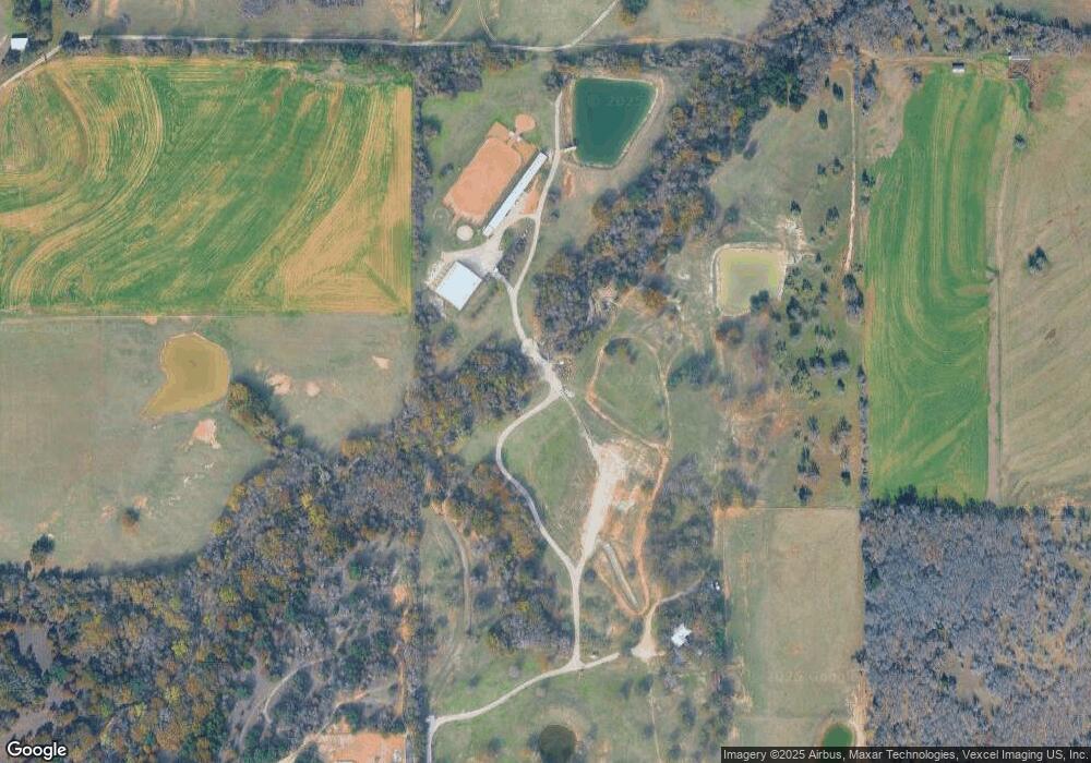
Map
Nearby Homes
- 3737 E Highway 199
- 1305 Hutchins Ln
- 4861 E Highway 199
- 150 Oak Valley Ln
- 6724 Midway Rd
- 3420 Springfield Rd
- 3601 Springfield Rd
- 289 Belle Place
- 328 Creekview Meadows Dr
- 1610 Newsom Mound Rd
- 109 Pleasant Run
- 144 Oak Meadows Dr
- 161 E Reno Rd
- 306 Garden Ct
- 6624 Ice House Rd
- 206 Creekview Meadows Ct
- 1100 Horizon Trace Dr
- TBD W Browder Cir
- 195 Kalinga Dr
- 128 Arunda Ct
- 1190 Tower St
- 1200 Tower St
- 1398 Tower St
- 1300 Tower St
- 1300 Tower Trace
- 1401 Tower St
- 1400 Tower St
- 1300B Tower St
- 158 Union St
- 1015 Rose Brooke Ln
- 150 Union St
- 888 S Reno Rd
- 1180 Tower St
- 1012 Rose Brooke Ln
- 750 Jay Bird Ln
- 330 Jay Bird Ln
- 330 Jay Bird Ln
- 1601 Tower St
- 911 Jay Bird Ln
- 915 Jay Bird Ln
Your Personal Tour Guide
Ask me questions while you tour the home.