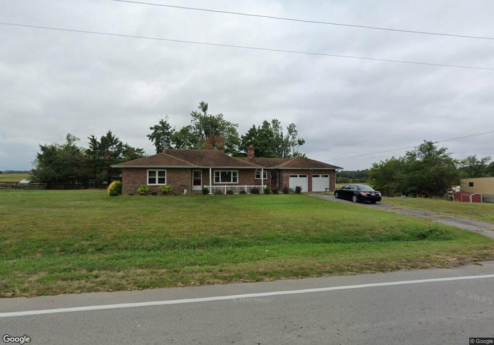
12011 S Highway 61 Uniontown, MO 63783
Estimated Value: $175,000 - $292,000
3
Beds
2
Baths
1,314
Sq Ft
$181/Sq Ft
Est. Value
About This Home
This home is located at 12011 S Highway 61, Uniontown, MO 63783 and is currently estimated at $238,102, approximately $181 per square foot. 12011 S Highway 61 is a home with nearby schools including Perryville Primary Center, Perryville Elementary School, and Perry County Middle School.
Create a Home Valuation Report for This Property
The Home Valuation Report is an in-depth analysis detailing your home's value as well as a comparison with similar homes in the area
Home Values in the Area
Average Home Value in this Area
Tax History Compared to Growth
Tax History
| Year | Tax Paid | Tax Assessment Tax Assessment Total Assessment is a certain percentage of the fair market value that is determined by local assessors to be the total taxable value of land and additions on the property. | Land | Improvement |
|---|---|---|---|---|
| 2024 | $847 | $18,958 | $3,101 | $15,857 |
| 2023 | $844 | $18,958 | $3,101 | $15,857 |
| 2022 | $822 | $18,441 | $2,584 | $15,857 |
| 2021 | $822 | $18,441 | $2,584 | $15,857 |
| 2020 | $785 | $16,843 | $2,394 | $14,449 |
| 2019 | $783 | $16,843 | $2,394 | $14,449 |
| 2018 | $639 | $16,268 | $2,014 | $14,254 |
| 2017 | $639 | $16,268 | $2,014 | $14,254 |
| 2016 | $639 | $14,824 | $2,014 | $12,810 |
| 2015 | -- | $14,824 | $2,014 | $12,810 |
| 2014 | -- | $14,824 | $2,014 | $12,810 |
Source: Public Records
Map
Nearby Homes
- 13117 S Highway 61
- 292 Quail Trail
- 184 Hope Hill Rd
- 274 Adam Ln
- 75 Birdsong Dr
- 6107 Main St
- 6368 Main St
- 11 Redbud Ln
- 12 Redbud Ln
- 13 Redbud Ln
- 168 Blueberry Ln
- Lot #4 Highway C
- Lot #2 Highway C
- Lot #1 Highway C
- 9112 Main St
- 0 State Highway Aa- Tract 3
- 0 State Highway Aa- Tract 4
- 0 State Highway Aa- Tract 6
- 0 State Highway Aa- Tract 7
- 0 State Highway Aa- Tract 5