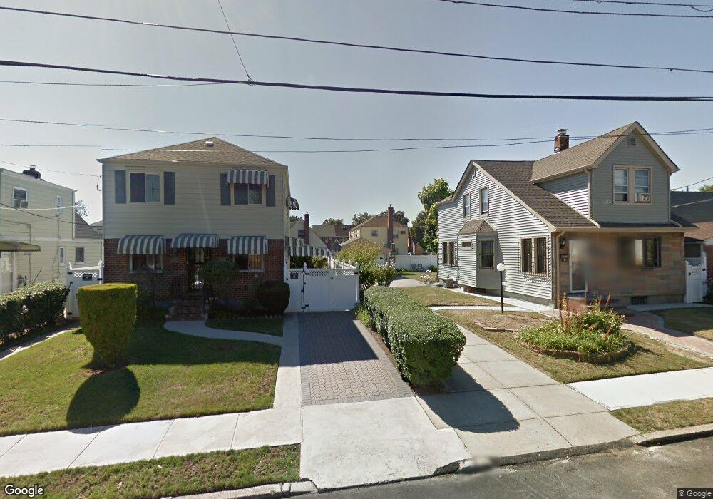
12012 201st St Saint Albans, NY 11412
Saint Albans NeighborhoodEstimated Value: $589,000 - $720,000
--
Bed
--
Bath
952
Sq Ft
$681/Sq Ft
Est. Value
About This Home
This home is located at 12012 201st St, Saint Albans, NY 11412 and is currently estimated at $648,674, approximately $681 per square foot. 12012 201st St is a home located in Queens County with nearby schools including P.S. 15 Jackie Robinson, Is 59 Springfield Gardens, and Success Academy Springfield Gardens.
Ownership History
Date
Name
Owned For
Owner Type
Purchase Details
Closed on
Apr 25, 1996
Sold by
Bourne Gloria
Bought by
Nettles Duric and Nettles Regina
Current Estimated Value
Home Financials for this Owner
Home Financials are based on the most recent Mortgage that was taken out on this home.
Original Mortgage
$130,500
Interest Rate
8.21%
Create a Home Valuation Report for This Property
The Home Valuation Report is an in-depth analysis detailing your home's value as well as a comparison with similar homes in the area
Home Values in the Area
Average Home Value in this Area
Purchase History
| Date | Buyer | Sale Price | Title Company |
|---|---|---|---|
| Nettles Duric | $103,667 | Stewart Title Insurance Co |
Source: Public Records
Mortgage History
| Date | Status | Borrower | Loan Amount |
|---|---|---|---|
| Previous Owner | Nettles Duric | $130,500 |
Source: Public Records
Tax History Compared to Growth
Tax History
| Year | Tax Paid | Tax Assessment Tax Assessment Total Assessment is a certain percentage of the fair market value that is determined by local assessors to be the total taxable value of land and additions on the property. | Land | Improvement |
|---|---|---|---|---|
| 2025 | $5,712 | $30,147 | $9,956 | $20,191 |
| 2024 | $5,712 | $28,441 | $8,824 | $19,617 |
| 2023 | $5,389 | $26,832 | $7,946 | $18,886 |
| 2022 | $5,054 | $36,300 | $12,900 | $23,400 |
| 2021 | $5,328 | $35,460 | $12,900 | $22,560 |
| 2020 | $5,022 | $30,480 | $12,900 | $17,580 |
| 2019 | $4,665 | $27,600 | $12,900 | $14,700 |
| 2018 | $4,260 | $22,360 | $11,528 | $10,832 |
| 2017 | $4,001 | $21,096 | $10,262 | $10,834 |
| 2016 | $3,907 | $21,096 | $10,262 | $10,834 |
| 2015 | $2,181 | $20,937 | $11,120 | $9,817 |
| 2014 | $2,181 | $19,752 | $12,073 | $7,679 |
Source: Public Records
Map
Nearby Homes
- 120-46 199th St
- 120-60 200th St
- 121-16 198th St
- 200-19 119th Ave
- 120-15 196th St
- 12105 196th St
- 118-32 200th St
- 121-17 196th St
- 120-06 Springfield Blvd
- 118-27 201st St
- 118-22 201st
- 121-9 195th St
- 121-11 195th St
- 122-52 Springfield Blvd
- 19415 120th Ave
- 12043 194th St
- 197-20 118th Ave
- 19815 118th Ave
- 118-55 204th St
- 120-20 194th St
- 12018 201st St
- 20016 120th Ave
- 20020 120th Ave
- 200-16 120th Ave Unit 2nd Fl
- 12022 201st St
- 200-20 120th Ave Unit 2
- 200-20 120th Ave
- 20010 120th Ave
- 12011 200th St
- 12015 200th St
- 12015 200th St Unit 2
- 20006 120th Ave
- 12019 200th St
- 12026 201st St
- 12019 200th St Unit 2nd Fl
- 12019 200th St Unit 2
- 12019 200th St
- 12019 200th St Unit 2nd Fl
- 200-06 120th Ave
- 20108 120th Ave