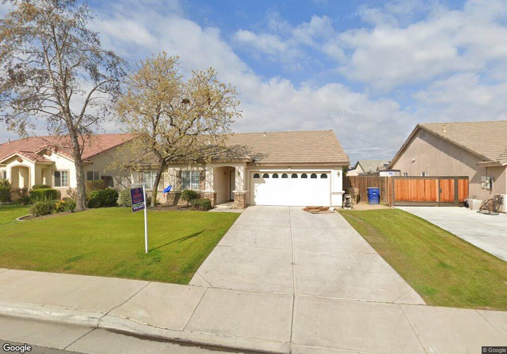
12012 Cedar Bluff Ave Unit 2 Bakersfield, CA 93312
Estimated Value: $399,614 - $438,000
3
Beds
2
Baths
1,699
Sq Ft
$247/Sq Ft
Est. Value
About This Home
This home is located at 12012 Cedar Bluff Ave Unit 2, Bakersfield, CA 93312 and is currently estimated at $419,654, approximately $247 per square foot. 12012 Cedar Bluff Ave Unit 2 is a home located in Kern County with nearby schools including Norris Elementary School, Norris Middle School, and Frontier High School.
Ownership History
Date
Name
Owned For
Owner Type
Purchase Details
Closed on
Nov 5, 2015
Sold by
Martin Jennifer and Hurkmans Erik R S
Bought by
Hurkmans Erik R S
Current Estimated Value
Home Financials for this Owner
Home Financials are based on the most recent Mortgage that was taken out on this home.
Original Mortgage
$150,400
Outstanding Balance
$118,817
Interest Rate
3.92%
Mortgage Type
New Conventional
Estimated Equity
$300,837
Purchase Details
Closed on
Sep 2, 2003
Sold by
Bakersfield Avalon Llc
Bought by
Hurkmans Erik R S and Hurkmans Jennifer
Home Financials for this Owner
Home Financials are based on the most recent Mortgage that was taken out on this home.
Original Mortgage
$165,000
Interest Rate
5.62%
Mortgage Type
Purchase Money Mortgage
Create a Home Valuation Report for This Property
The Home Valuation Report is an in-depth analysis detailing your home's value as well as a comparison with similar homes in the area
Home Values in the Area
Average Home Value in this Area
Purchase History
| Date | Buyer | Sale Price | Title Company |
|---|---|---|---|
| Hurkmans Erik R S | -- | Pacific Coast Title Company | |
| Hurkmans Erik R S | $178,000 | Ticor Title |
Source: Public Records
Mortgage History
| Date | Status | Borrower | Loan Amount |
|---|---|---|---|
| Open | Hurkmans Erik R S | $150,400 | |
| Previous Owner | Hurkmans Erik R S | $165,000 |
Source: Public Records
Tax History
| Year | Tax Paid | Tax Assessment Tax Assessment Total Assessment is a certain percentage of the fair market value that is determined by local assessors to be the total taxable value of land and additions on the property. | Land | Improvement |
|---|---|---|---|---|
| 2025 | $4,486 | $252,911 | $62,545 | $190,366 |
| 2024 | $4,398 | $247,953 | $61,319 | $186,634 |
| 2023 | $4,398 | $243,092 | $60,117 | $182,975 |
| 2022 | $4,328 | $238,327 | $58,939 | $179,388 |
| 2021 | $4,512 | $233,655 | $57,784 | $175,871 |
| 2020 | $4,392 | $231,260 | $57,192 | $174,068 |
| 2019 | $4,341 | $231,260 | $57,192 | $174,068 |
| 2018 | $4,232 | $222,281 | $54,972 | $167,309 |
| 2017 | $4,213 | $217,924 | $53,895 | $164,029 |
| 2016 | $4,008 | $213,652 | $52,839 | $160,813 |
| 2015 | $3,962 | $210,444 | $52,046 | $158,398 |
| 2014 | $3,880 | $206,323 | $51,027 | $155,296 |
Source: Public Records
Map
Nearby Homes
- 11811 Mantova Ave
- 11814 Montague Ave
- 12200 Verdelho Ave
- 12321 High Country Dr
- 11815 Darlington Ave
- 11807 Darlington Ave Unit 4
- 11415 Mercatello Ave
- 11603 Bocelli Ave
- 11502 Martinsville Ave
- 12515 Valentano Ave
- 12414 Lavina Ave
- 11809 Irwindale Ave
- 12613 Lavina Ave
- 12715 Windy Ridge Dr
- 12606 Knights Bridge Place
- 7113 Tallywood Dr
- 6507 Tulocay Ct
- 12900 Altair Ct
- 12907 Altair Ct
- 12911 Altair Ct
- 12016 Cedar Bluff Ave Unit 2
- 12019 Montague Ave Unit 3
- 12004 Cedar Bluff Ave
- 12020 Cedar Bluff Ave Unit 2
- 12015 Montague Ave Unit 3
- 12013 Cedar Bluff Ave
- 12011 Montague Ave
- 12000 Cedar Bluff Ave
- 12009 Cedar Bluff Ave
- 12017 Cedar Bluff Ave
- 12027 Montague Ave
- 12021 Cedar Bluff Ave
- 12003 Montague Ave
- 12001 Cedar Bluff Ave
- 12026 Montague Ave
- 11915 Cedar Bluff Ave
- 12018 Montague Ave
- 12014 Montague Ave
- 11910 Cedar Bluff Ave
Your Personal Tour Guide
Ask me questions while you tour the home.