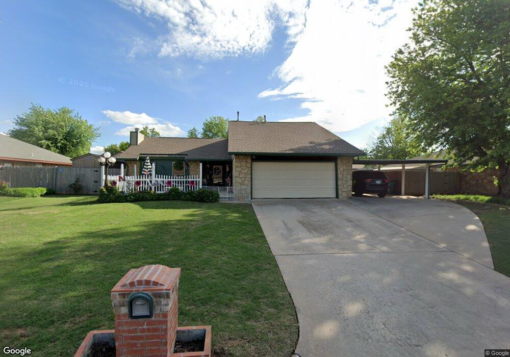
12012 Silver Maple Dr Yukon, OK 73099
Hollyrock-Silver Maple NeighborhoodEstimated Value: $235,000 - $252,000
3
Beds
2
Baths
2,053
Sq Ft
$120/Sq Ft
Est. Value
About This Home
This home is located at 12012 Silver Maple Dr, Yukon, OK 73099 and is currently estimated at $246,951, approximately $120 per square foot. 12012 Silver Maple Dr is a home located in Canadian County with nearby schools including Mustang Creek Elementary School, Meadow Brook Intermediate School, and Mustang Central Middle School.
Ownership History
Date
Name
Owned For
Owner Type
Purchase Details
Closed on
Nov 24, 2010
Sold by
Nemecek Ronald Levi and Nemecek Patricia K
Bought by
Nemecek Ronald Levi and Nemecek Patricia K
Current Estimated Value
Home Financials for this Owner
Home Financials are based on the most recent Mortgage that was taken out on this home.
Original Mortgage
$108,800
Outstanding Balance
$2,433
Interest Rate
4.22%
Estimated Equity
$244,518
Purchase Details
Closed on
Oct 26, 1987
Create a Home Valuation Report for This Property
The Home Valuation Report is an in-depth analysis detailing your home's value as well as a comparison with similar homes in the area
Home Values in the Area
Average Home Value in this Area
Purchase History
| Date | Buyer | Sale Price | Title Company |
|---|---|---|---|
| Nemecek Ronald Levi | -- | American Eagle Title Ins Co | |
| -- | $66,500 | -- |
Source: Public Records
Mortgage History
| Date | Status | Borrower | Loan Amount |
|---|---|---|---|
| Open | Nemecek Ronald Levi | $108,800 |
Source: Public Records
Tax History Compared to Growth
Tax History
| Year | Tax Paid | Tax Assessment Tax Assessment Total Assessment is a certain percentage of the fair market value that is determined by local assessors to be the total taxable value of land and additions on the property. | Land | Improvement |
|---|---|---|---|---|
| 2024 | $2,012 | $18,768 | $1,337 | $17,431 |
| 2023 | $2,012 | $18,767 | $1,431 | $17,336 |
| 2022 | $2,042 | $18,768 | $1,815 | $16,953 |
| 2021 | $2,035 | $18,768 | $1,972 | $16,796 |
| 2020 | $2,055 | $18,767 | $2,040 | $16,727 |
| 2019 | $1,990 | $18,221 | $2,040 | $16,181 |
| 2018 | $1,965 | $17,690 | $2,040 | $15,650 |
| 2017 | $1,879 | $17,175 | $2,040 | $15,135 |
| 2016 | $1,816 | $17,175 | $2,040 | $15,135 |
| 2015 | $1,719 | $16,189 | $2,040 | $14,149 |
| 2014 | $1,719 | $15,718 | $2,040 | $13,678 |
Source: Public Records
Map
Nearby Homes
- 624 Caladium Dr
- 12177 Hollyrock Dr
- 200 Pawnee Cir
- 11817 Hollyrock Dr
- 309 Glen Dr
- 108 N Eastgate Dr
- 310 Glen Dr
- 311 Tumbleweed Rd
- 213 Harrogate Dr
- 12320 NW 4th St
- 12400 Newgate Dr
- 418 Palo Verde Dr
- 12113 NW 7th St
- 521 Apache Gate Dr
- 12127 SW 4th St
- 12325 SW 6th St
- 517 Cherokee Gate Dr
- 612 Ellsworth Ave
- 11713 NW 6th St
- 708 Cactus Ct
- 12008 Silver Maple Dr
- 608 Caladium Dr
- 808 Caladium Dr
- 12020 Silver Maple Dr
- 129 Lochwood Ln
- 12017 Silver Maple Dr
- 12013 Silver Maple Dr
- 130 Lochwood Place
- 124 Lochwood Place
- 125 Lochwood Ln
- 12021 Silver Maple Dr
- 120 Lochwood Place
- 201 Lochwood Cir
- 121 Lochwood Ln
- 136 Lochwood Ln
- 140 Lochwood Ln
- 132 Lochwood Ln
- 116 Lochwood Place
- 128 Lochwood Ln
- 205 Lochwood Cir