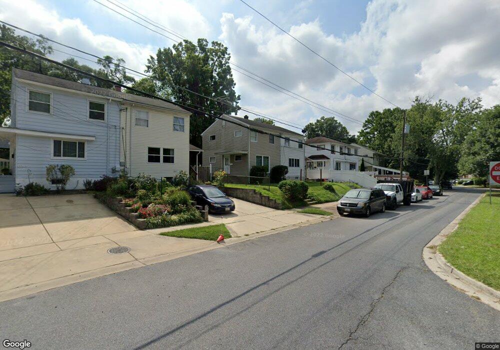
12013 Dalewood Dr Silver Spring, MD 20902
Connecticut Avenue Park NeighborhoodEstimated Value: $328,487 - $380,000
3
Beds
2
Baths
1,008
Sq Ft
$360/Sq Ft
Est. Value
About This Home
This home is located at 12013 Dalewood Dr, Silver Spring, MD 20902 and is currently estimated at $362,872, approximately $359 per square foot. 12013 Dalewood Dr is a home located in Montgomery County with nearby schools including Highland Elementary School, Newport Mill Middle School, and Albert Einstein High School.
Ownership History
Date
Name
Owned For
Owner Type
Purchase Details
Closed on
Jul 12, 2017
Sold by
Bucklin Charles E and Bucklin Barbara L
Bought by
Arias Angel Antonio
Current Estimated Value
Home Financials for this Owner
Home Financials are based on the most recent Mortgage that was taken out on this home.
Original Mortgage
$250,381
Interest Rate
4.37%
Mortgage Type
FHA
Create a Home Valuation Report for This Property
The Home Valuation Report is an in-depth analysis detailing your home's value as well as a comparison with similar homes in the area
Home Values in the Area
Average Home Value in this Area
Purchase History
| Date | Buyer | Sale Price | Title Company |
|---|---|---|---|
| Arias Angel Antonio | $255,000 | None Available |
Source: Public Records
Mortgage History
| Date | Status | Borrower | Loan Amount |
|---|---|---|---|
| Previous Owner | Arias Angel Antonio | $250,381 |
Source: Public Records
Tax History
| Year | Tax Paid | Tax Assessment Tax Assessment Total Assessment is a certain percentage of the fair market value that is determined by local assessors to be the total taxable value of land and additions on the property. | Land | Improvement |
|---|---|---|---|---|
| 2025 | $3,646 | $282,000 | $150,000 | $132,000 |
| 2024 | $3,646 | $271,500 | $0 | $0 |
| 2023 | $4,199 | $261,000 | $0 | $0 |
| 2022 | $2,019 | $250,500 | $150,000 | $100,500 |
| 2021 | $2,286 | $233,500 | $0 | $0 |
| 2020 | $2,795 | $216,500 | $0 | $0 |
| 2019 | $1,855 | $199,500 | $100,000 | $99,500 |
| 2018 | $1,776 | $194,400 | $0 | $0 |
| 2017 | $2,475 | $189,300 | $0 | $0 |
| 2016 | -- | $184,200 | $0 | $0 |
| 2015 | $1,994 | $175,200 | $0 | $0 |
| 2014 | $1,994 | $166,200 | $0 | $0 |
Source: Public Records
Map
Nearby Homes
- 3410 Embry St
- 11814 College View Dr
- 12106 Bluhill Rd
- 12220 Centerhill St
- 3726 Ferrara Dr
- 3720 Ferrara Dr
- 11852 Huggins Dr
- 12015 Claridge Rd
- 3921 Lantern Dr
- 4104 Tulare Dr
- 3027 Medway St
- 12312 Valleywood Dr
- 3008 Hardy Ave
- 12420 Feldon St
- 4008 Adams Dr
- 12300 Downer Dr
- 12303 Barbara Rd
- 3405 Fredale St
- 11319 Woodson Ave
- 3103 Dawson Ave
- 12015 Dalewood Dr
- 12011 Dalewood Dr
- 12017 Dalewood Dr
- 12009 Dalewood Dr
- 12019 Dalewood Dr
- 12007 Dalewood Dr
- 12021 Dalewood Dr
- 12005 Dalewood Dr
- 12006 Centerhill St
- 12008 Centerhill St
- 12010 Centerhill St
- 12004 Centerhill St
- 12012 Centerhill St
- 12023 Dalewood Dr
- 11908 Bluhill Rd
- 11906 Bluhill Rd
- 11910 Bluhill Rd
- 11902 Bluhill Rd
- 12014 Centerhill St
- 12002 Centerhill St
Your Personal Tour Guide
Ask me questions while you tour the home.