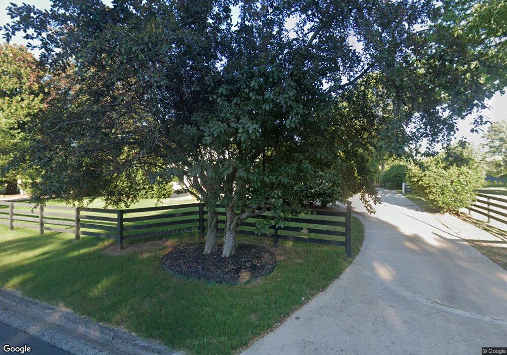
12015 King Rd Roswell, GA 30075
Brookfield West NeighborhoodEstimated Value: $703,000 - $873,000
3
Beds
2
Baths
2,707
Sq Ft
$302/Sq Ft
Est. Value
About This Home
This home is located at 12015 King Rd, Roswell, GA 30075 and is currently estimated at $817,704, approximately $302 per square foot. 12015 King Rd is a home located in Fulton County with nearby schools including Mountain Park Elementary School, Crabapple Middle School, and Fellowship Christian School.
Ownership History
Date
Name
Owned For
Owner Type
Purchase Details
Closed on
Oct 18, 2011
Sold by
Larson Eric Kenneth
Bought by
Irwin Holly M and Irwin Ronald L
Current Estimated Value
Home Financials for this Owner
Home Financials are based on the most recent Mortgage that was taken out on this home.
Original Mortgage
$188,000
Outstanding Balance
$128,594
Interest Rate
4.16%
Mortgage Type
New Conventional
Estimated Equity
$689,110
Purchase Details
Closed on
Jul 22, 2008
Sold by
Webb Kyle D
Bought by
Webb Wilma T
Create a Home Valuation Report for This Property
The Home Valuation Report is an in-depth analysis detailing your home's value as well as a comparison with similar homes in the area
Home Values in the Area
Average Home Value in this Area
Purchase History
| Date | Buyer | Sale Price | Title Company |
|---|---|---|---|
| Irwin Holly M | $235,000 | -- | |
| Webb Wilma T | -- | -- |
Source: Public Records
Mortgage History
| Date | Status | Borrower | Loan Amount |
|---|---|---|---|
| Open | Irwin Holly M | $188,000 |
Source: Public Records
Tax History Compared to Growth
Tax History
| Year | Tax Paid | Tax Assessment Tax Assessment Total Assessment is a certain percentage of the fair market value that is determined by local assessors to be the total taxable value of land and additions on the property. | Land | Improvement |
|---|---|---|---|---|
| 2025 | $937 | $281,920 | $57,080 | $224,840 |
| 2023 | $6,795 | $240,720 | $50,720 | $190,000 |
| 2022 | $3,736 | $197,160 | $49,320 | $147,840 |
| 2021 | $4,444 | $168,400 | $42,840 | $125,560 |
| 2020 | $4,509 | $171,280 | $62,480 | $108,800 |
| 2019 | $745 | $175,160 | $53,480 | $121,680 |
| 2018 | $4,086 | $171,000 | $52,200 | $118,800 |
| 2017 | $3,679 | $142,960 | $31,440 | $111,520 |
| 2016 | $3,660 | $142,960 | $31,440 | $111,520 |
| 2015 | $4,453 | $142,960 | $31,440 | $111,520 |
| 2014 | $3,317 | $120,960 | $27,400 | $93,560 |
Source: Public Records
Map
Nearby Homes
- 680 Brookfield Pkwy Unit 1
- 125 Fortuna Ct
- 870 Hickory Oak Hollow
- 570 Wheatridge Bluff
- 865 Ferncroft Ct
- 515 Kent Rd
- 11850 Chaffin Rd
- 105 Kensington Pond Ct
- 345 Chaffin Ridge Ct
- 1005 Hedgerose Ln
- 2512 Waters Edge Trail Unit 2512
- 5210 Davenport Place
- 3412 Waters Edge Trail
- 12620 Old Surrey Place
- 5407 Waters Edge Trail
- 120 Cedarwood Ln
- 140 Cedarwood Ln
- 130 Cedarwood Ln
- 4201 Village Green Dr
- 160 Cedarwood Ln
- 12005 King Rd
- 12025 King Rd
- 120 Fortuna Ct
- 11975 Chaffin Rd
- 130 Fortuna Ct Unit 4
- 0 Brookfield Pkwy Unit 7149054
- 0 Brookfield Pkwy Unit 7084275
- 0 Brookfield Pkwy Unit 8803836
- 0 Brookfield Pkwy Unit 8798260
- 0 Brookfield Pkwy Unit 8654519
- 0 Brookfield Pkwy Unit 8284270
- 0 Brookfield Pkwy Unit 8253875
- 0 Brookfield Pkwy Unit 8079629
- 0 Brookfield Pkwy Unit 8047619
- 0 Brookfield Pkwy Unit 8115851
- 0 Brookfield Pkwy Unit 8533674
- 0 Brookfield Pkwy Unit 7068869
- 0 Brookfield Pkwy Unit 8442151
- 11965 Chaffin Rd Unit 4
- 685 Brookfield Pkwy