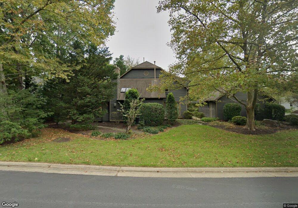
12017 Walnut Branch Rd Reston, VA 20194
North Reston NeighborhoodEstimated Value: $923,000 - $1,110,000
3
Beds
3
Baths
2,453
Sq Ft
$405/Sq Ft
Est. Value
About This Home
This home is located at 12017 Walnut Branch Rd, Reston, VA 20194 and is currently estimated at $994,424, approximately $405 per square foot. 12017 Walnut Branch Rd is a home located in Fairfax County with nearby schools including Aldrin Elementary, Herndon Middle School, and Herndon High School.
Ownership History
Date
Name
Owned For
Owner Type
Purchase Details
Closed on
Dec 7, 2021
Sold by
Anita Lasansky Trust and Lasansky Anita
Bought by
Lasansky Arnaldo and Lasansky Anita
Current Estimated Value
Purchase Details
Closed on
Dec 10, 2019
Sold by
Lasansky Anita
Bought by
Lasansky Anita and The Anita Lasansky Trust
Create a Home Valuation Report for This Property
The Home Valuation Report is an in-depth analysis detailing your home's value as well as a comparison with similar homes in the area
Home Values in the Area
Average Home Value in this Area
Purchase History
| Date | Buyer | Sale Price | Title Company |
|---|---|---|---|
| Lasansky Arnaldo | -- | None Listed On Document | |
| Lasansky Anita | -- | None Available |
Source: Public Records
Tax History
| Year | Tax Paid | Tax Assessment Tax Assessment Total Assessment is a certain percentage of the fair market value that is determined by local assessors to be the total taxable value of land and additions on the property. | Land | Improvement |
|---|---|---|---|---|
| 2025 | $10,740 | $927,700 | $342,000 | $585,700 |
| 2024 | $10,740 | $890,930 | $332,000 | $558,930 |
| 2023 | $10,319 | $877,850 | $332,000 | $545,850 |
| 2022 | $9,257 | $777,560 | $307,000 | $470,560 |
| 2021 | $8,774 | $718,920 | $277,000 | $441,920 |
| 2020 | $8,595 | $698,530 | $272,000 | $426,530 |
| 2019 | $8,503 | $691,030 | $272,000 | $419,030 |
| 2018 | $7,899 | $686,880 | $272,000 | $414,880 |
| 2017 | $7,401 | $612,660 | $272,000 | $340,660 |
| 2016 | $7,469 | $619,610 | $272,000 | $347,610 |
| 2015 | $7,206 | $619,610 | $272,000 | $347,610 |
| 2014 | $7,191 | $619,610 | $272,000 | $347,610 |
Source: Public Records
Map
Nearby Homes
- 1660 Sierra Woods Dr
- 478 Montalto Dr
- 1671 Cedar Hollow Way
- 349 Reneau Way
- 428 Reneau Way
- 1538 Twisted Oak Dr
- 403 Madison St
- 1642 Harvest Green Ct
- 113 Herndon Mill Cir
- 12016 Trossack Rd
- 1508 Summerchase Ct
- 1704 Lake Shore Crest Dr Unit 16
- 1504 Summerchase Ct
- 1712 Lake Shore Crest Dr Unit 14
- 11719 Summerchase Cir
- 1716 Lake Shore Crest Dr Unit 22
- 11731 Summerchase Cir Unit 1731E
- 1720 Lake Shore Crest Dr Unit 26
- 1575 Bennington Woods Ct
- 1724 Lake Shore Crest Dr Unit 25
- 12019 Walnut Branch Rd
- 12015 Walnut Branch Rd
- 12013 Walnut Branch Rd
- 12023 Walnut Branch Rd
- 1658 Wild Pine Way
- 12022 Walnut Branch Rd
- 12011 Walnut Branch Rd
- 1657 Wild Pine Way
- 1656 Wild Pine Way
- 12026 Walnut Branch Rd
- 12007 Walnut Branch Rd
- 12134 Purple Sage Ct
- 12158 Purple Sage Ct
- 12009 Walnut Branch Rd
- 12016 Walnut Branch Rd
- 12136 Purple Sage Ct
- 12148 Purple Sage Ct
- 12146 Purple Sage Ct
- 12156 Purple Sage Ct
- 12144 Purple Sage Ct
Your Personal Tour Guide
Ask me questions while you tour the home.