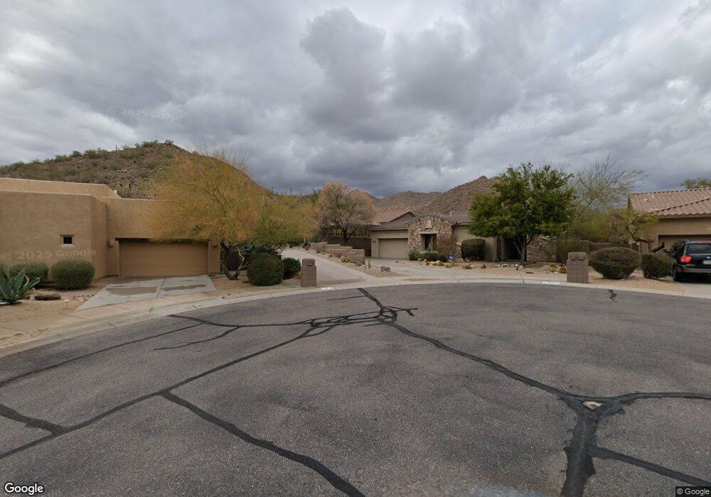
12018 N 144th Way Scottsdale, AZ 85259
Estimated Value: $1,083,700 - $1,287,000
3
Beds
4
Baths
2,901
Sq Ft
$413/Sq Ft
Est. Value
About This Home
This home is located at 12018 N 144th Way, Scottsdale, AZ 85259 and is currently estimated at $1,197,425, approximately $412 per square foot. 12018 N 144th Way is a home located in Maricopa County with nearby schools including Anasazi Elementary School, Mountainside Middle School, and Desert Mountain High School.
Ownership History
Date
Name
Owned For
Owner Type
Purchase Details
Closed on
Apr 7, 2011
Sold by
Oconnell Robert F and Oconnell Melissa T
Bought by
Komo Ronald and Komo Cheryl
Current Estimated Value
Purchase Details
Closed on
Jan 11, 2001
Sold by
Golden Heritage Homes Inc
Bought by
Oconnell Robert F and Oconnell Melissa T
Home Financials for this Owner
Home Financials are based on the most recent Mortgage that was taken out on this home.
Original Mortgage
$372,000
Interest Rate
7.15%
Mortgage Type
New Conventional
Purchase Details
Closed on
Oct 20, 2000
Sold by
Hidden Hills Of Scottsdale Lc
Bought by
Golden Heritage Homes Inc
Create a Home Valuation Report for This Property
The Home Valuation Report is an in-depth analysis detailing your home's value as well as a comparison with similar homes in the area
Home Values in the Area
Average Home Value in this Area
Purchase History
| Date | Buyer | Sale Price | Title Company |
|---|---|---|---|
| Komo Ronald | $605,000 | Old Republic Title Agency | |
| Oconnell Robert F | $434,643 | First American Title | |
| Golden Heritage Homes Inc | $70,000 | -- |
Source: Public Records
Mortgage History
| Date | Status | Borrower | Loan Amount |
|---|---|---|---|
| Previous Owner | Oconnell Melissa T | $100,000 | |
| Previous Owner | Oconnell Robert F | $495,000 | |
| Previous Owner | Oconnell Robert F | $372,000 |
Source: Public Records
Tax History Compared to Growth
Tax History
| Year | Tax Paid | Tax Assessment Tax Assessment Total Assessment is a certain percentage of the fair market value that is determined by local assessors to be the total taxable value of land and additions on the property. | Land | Improvement |
|---|---|---|---|---|
| 2025 | $4,140 | $70,059 | -- | -- |
| 2024 | $4,085 | $66,723 | -- | -- |
| 2023 | $4,085 | $79,470 | $15,890 | $63,580 |
| 2022 | $4,569 | $60,520 | $12,100 | $48,420 |
| 2021 | $4,813 | $58,610 | $11,720 | $46,890 |
| 2020 | $4,850 | $57,050 | $11,410 | $45,640 |
| 2019 | $4,837 | $56,220 | $11,240 | $44,980 |
| 2018 | $4,761 | $54,130 | $10,820 | $43,310 |
| 2017 | $4,608 | $52,880 | $10,570 | $42,310 |
| 2016 | $4,513 | $52,820 | $10,560 | $42,260 |
| 2015 | $4,327 | $53,100 | $10,620 | $42,480 |
Source: Public Records
Map
Nearby Homes
- 14402 E Wethersfield Rd Unit 1
- 14523 E Charter Oak Dr Unit 1
- 14675 E Paradise Dr
- 14699 E Paradise Dr Unit 26
- 14341 E Geronimo Rd
- 13647 N 143rd Place Unit 12
- 13723 N 143rd Place Unit 10
- 13672 N 143rd Place Unit 8
- 14760 E Paradise Dr
- 14672 E Larkspur Dr Unit 2
- 14371 E Kalil Dr
- 14521 E Corrine Dr
- 12416 N Cloud Crest Trail
- 14296 E Kalil Dr
- 12387 Cloud Crest Trail Unit 63
- 14360 E Desert Cove Ave
- 14541 E Sierra Alegre Ct Unit 16
- 11888 N Sunset Vista Dr Unit 38
- 14594 E Corrine Dr
- 14152 E Kalil Dr Unit 26
- 12036 N 144th Way
- 11982 N 144th Way
- 11964 N 144th Way
- 11946 N 144th Way
- 14565 E Wethersfield Rd Unit 1
- 14581 E Wethersfield Rd
- 14549 E Wethersfield Rd
- 11928 N 144th Way
- 14533 E Wethersfield Rd
- 14517 E Wethersfield Rd Unit 1
- 14517 E Wethersfield Rd
- 11910 N 144th Way
- 14550 E Wethersfield Rd
- 14550 E Wethersfield Rd Unit 1
- 14568 E Wethersfield Rd
- 14568 E Wethersfield Rd Unit 1
- 14501 E Wethersfield Rd Unit 1
- 14586 E Wethersfield Rd Unit ID1247197P
- 14586 E Wethersfield Rd
- 14586 E Wethersfield Rd