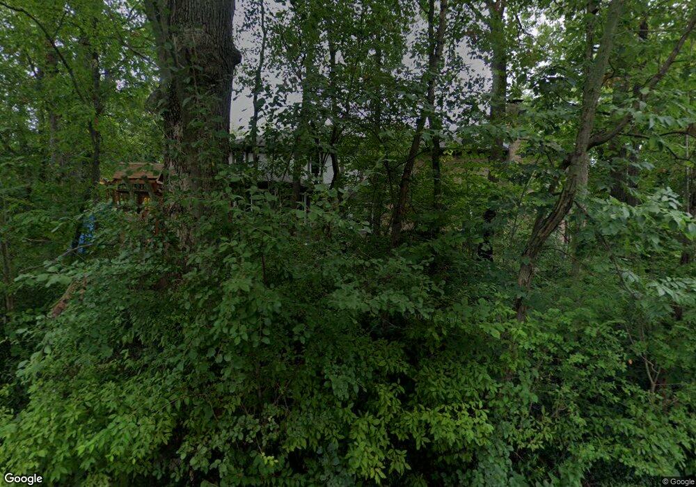
12018 S Winslow Rd Palos Park, IL 60464
Estimated Value: $774,000 - $943,062
4
Beds
4
Baths
5,000
Sq Ft
$170/Sq Ft
Est. Value
About This Home
This home is located at 12018 S Winslow Rd, Palos Park, IL 60464 and is currently estimated at $850,016, approximately $170 per square foot. 12018 S Winslow Rd is a home located in Cook County with nearby schools including Palos East Elementary School, Palos South Middle School, and Amos Alonzo Stagg High School.
Ownership History
Date
Name
Owned For
Owner Type
Purchase Details
Closed on
Oct 25, 2023
Sold by
Judicial Sales Corporation
Bought by
Al Nadi Fadi
Current Estimated Value
Purchase Details
Closed on
Oct 24, 2017
Sold by
Salerno Michael J and Salerno Lora A
Bought by
Salerno Michael
Home Financials for this Owner
Home Financials are based on the most recent Mortgage that was taken out on this home.
Original Mortgage
$410,000
Interest Rate
4%
Mortgage Type
New Conventional
Purchase Details
Closed on
Feb 25, 2005
Sold by
Salerno Michael J and Salerno Lora A
Bought by
Salerno Michael J and Salerno Lora A
Purchase Details
Closed on
May 15, 1997
Sold by
Hack Christine B
Bought by
Salerno Michael J and Salerno Lora A
Home Financials for this Owner
Home Financials are based on the most recent Mortgage that was taken out on this home.
Original Mortgage
$200,000
Interest Rate
8.27%
Create a Home Valuation Report for This Property
The Home Valuation Report is an in-depth analysis detailing your home's value as well as a comparison with similar homes in the area
Home Values in the Area
Average Home Value in this Area
Purchase History
| Date | Buyer | Sale Price | Title Company |
|---|---|---|---|
| Al Nadi Fadi | -- | None Listed On Document | |
| Salerno Michael | -- | Ravenswood Title Company Llc | |
| Salerno Michael J | -- | None Available | |
| Salerno Michael J | $560,000 | -- |
Source: Public Records
Mortgage History
| Date | Status | Borrower | Loan Amount |
|---|---|---|---|
| Previous Owner | Salerno Michael | $410,000 | |
| Previous Owner | Salerno Michael J | $200,000 |
Source: Public Records
Tax History Compared to Growth
Tax History
| Year | Tax Paid | Tax Assessment Tax Assessment Total Assessment is a certain percentage of the fair market value that is determined by local assessors to be the total taxable value of land and additions on the property. | Land | Improvement |
|---|---|---|---|---|
| 2024 | $14,405 | $62,000 | $21,416 | $40,584 |
| 2023 | $16,352 | $62,000 | $21,416 | $40,584 |
| 2022 | $16,352 | $57,753 | $18,560 | $39,193 |
| 2021 | $15,188 | $57,752 | $18,560 | $39,192 |
| 2020 | $14,699 | $57,752 | $18,560 | $39,192 |
| 2019 | $15,738 | $63,767 | $17,132 | $46,635 |
| 2018 | $15,272 | $63,767 | $17,132 | $46,635 |
| 2017 | $14,825 | $63,767 | $17,132 | $46,635 |
| 2016 | $14,201 | $55,786 | $14,277 | $41,509 |
| 2015 | $14,011 | $55,786 | $14,277 | $41,509 |
| 2014 | $13,864 | $55,786 | $14,277 | $41,509 |
| 2013 | $13,549 | $58,167 | $14,277 | $43,890 |
Source: Public Records
Map
Nearby Homes
- 8322 W 123rd St
- 13010 S 85th Ave
- 8714 W 123rd St
- 8703 W 123rd St
- 12314 S 88th Ave
- 11731 S Brookside Dr Unit 10218
- 12035 S 90th Ave
- 7909 W 120th St
- 12504 Southwest Hwy
- 11556 S Alpine Ave
- 8459 Edelweiss Dr
- 12525 S Pawnee Rd
- 11905 S Lakewood Ave
- 9014 W 123rd St
- 9000 W Forest Glen Blvd
- 12604 S Pawnee Rd
- 11537 Autobahn Dr E Unit 101
- 11901 S 92nd Ave
- 12811 S 82nd Ct
- 82 Parliament Dr W Unit 118
- 12014 S Winslow Rd
- 8502 W 121st St
- 8419 W 121st St
- 12008 S Winslow Rd
- 8509 W 121st St
- 12011 S Winslow Rd
- 8510 W 121st St
- 12101 S Winslow Rd
- 8511 W 121st St
- 11924 S Winslow Rd
- 8421 W 121st St
- 12119 S 86th Ave
- 8514 W 121st St
- 12005 S Winslow Rd
- 12011 S 86th Ave
- 8325 W Knollwood Dr
- 62 N Woodland Trail
- 12109 S 86th Ave
- 64 N Woodland Trail
- 11918 S Winslow Rd