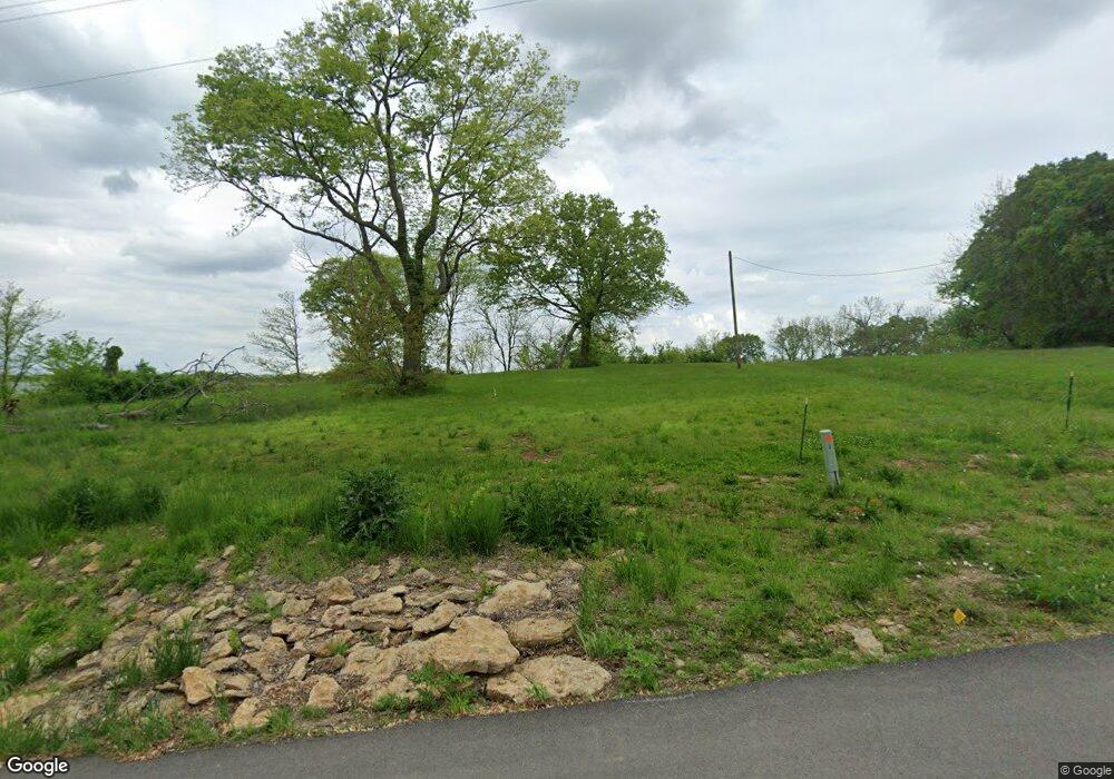
1202 3rd St Camden Point, MO 64018
Estimated Value: $78,000
Studio
1
Bath
852
Sq Ft
$92/Sq Ft
Est. Value
About This Home
This home is located at 1202 3rd St, Camden Point, MO 64018 and is currently priced at $78,000, approximately $91 per square foot. 1202 3rd St is a home located in Platte County with nearby schools including North Platte Elementary School, North Platte Intermediate School, and North Platte Junior High School.
Ownership History
Date
Name
Owned For
Owner Type
Purchase Details
Closed on
Mar 11, 2021
Sold by
Hill Cindy L and Estate Of Mark S Hill
Bought by
Hill Cindy L and Mark S Hill Share Of Mark & Ci
Current Estimated Value
Purchase Details
Closed on
Nov 11, 2020
Sold by
Hill Cindy
Bought by
Hill Jason and Hill Melissa
Purchase Details
Closed on
May 5, 2016
Sold by
Hill Jeffrey L and Hill Mary Cathlyne
Bought by
Hill Mark S
Purchase Details
Closed on
May 19, 2015
Sold by
Hill Jeffrey L and Hill Mary Cathlyne
Bought by
Hill Mark S
Purchase Details
Closed on
Apr 13, 2013
Sold by
Courtney Robert and Courtney Phyllis I
Bought by
Hill Mark S
Create a Home Valuation Report for This Property
The Home Valuation Report is an in-depth analysis detailing your home's value as well as a comparison with similar homes in the area
Purchase History
| Date | Buyer | Sale Price | Title Company |
|---|---|---|---|
| Hill Cindy L | -- | None Available | |
| Hill Jason | -- | None Available | |
| Hill Mark S | -- | None Available | |
| Hill Mark S | -- | None Available | |
| Hill Mark S | -- | Platte County Title & Abst | |
| Courtney Robert | -- | Platte County Title & Abst |
Source: Public Records
Tax History
| Year | Tax Paid | Tax Assessment Tax Assessment Total Assessment is a certain percentage of the fair market value that is determined by local assessors to be the total taxable value of land and additions on the property. | Land | Improvement |
|---|---|---|---|---|
| 2025 | $516 | $6,882 | $6,882 | -- |
| 2024 | $494 | $6,882 | $6,882 | -- |
| 2023 | $494 | $6,882 | $6,882 | $0 |
| 2022 | $499 | $6,882 | $6,882 | $0 |
| 2021 | $501 | $6,882 | $6,882 | $0 |
| 2020 | $512 | $6,882 | $6,882 | $0 |
| 2019 | $512 | $6,882 | $6,882 | $0 |
| 2018 | $515 | $6,882 | $4,750 | $2,132 |
| 2017 | $515 | $6,882 | $4,750 | $2,132 |
| 2016 | $510 | $6,882 | $4,750 | $2,132 |
| 2015 | $510 | $6,882 | $4,750 | $2,132 |
| 2013 | $971 | $6,882 | $0 | $0 |
Source: Public Records
Map
Nearby Homes
- 19710 Kansas City Blvd
- 19255 Lane Tree Dr
- U Highway
- 0 U Hwy Unit HMS2588353
- 17980 Lakewood Dr
- 0001 Edgerton Junction Rd
- 0000 Edgerton Junction Rd
- 0 Gooseneck Bend Rd
- 21205 B Hwy Unit B
- 21970 Lamar Rd
- 103 Johnson Cir
- 21195 Edgerton Junction Rd
- 0 Cockriel Rd
- 601 Main St
- 20860 County Road P
- 103 Sally Cir
- 22305 P Hwy
- 107 Johnson Cir
- 109 Johnson Cir
- 108 Johnson Cir
Your Personal Tour Guide
Ask me questions while you tour the home.