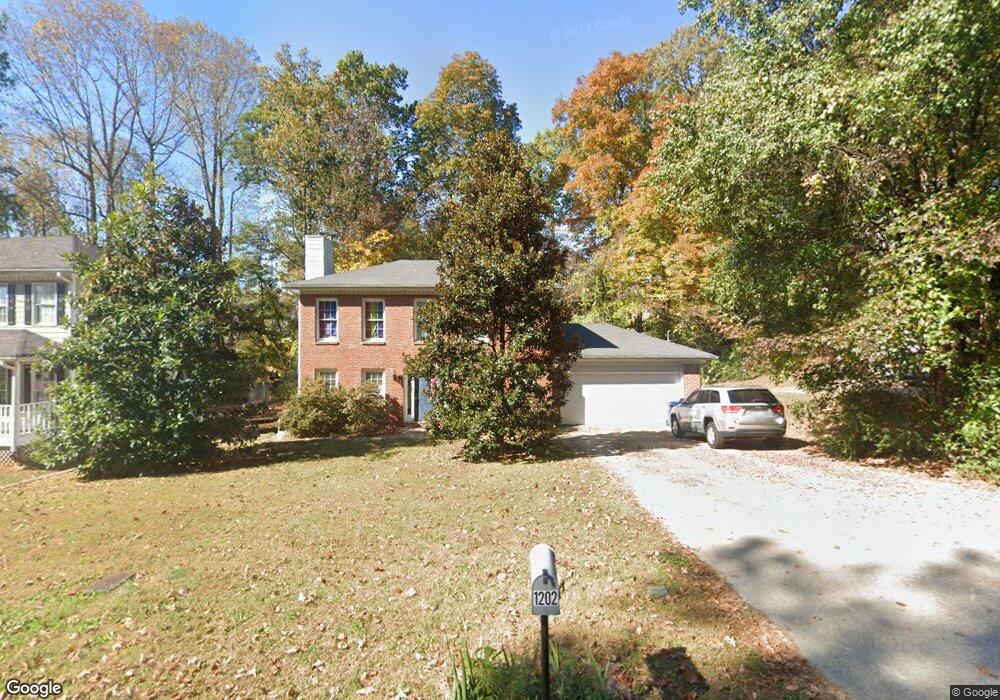
1202 Bailing Dr Lawrenceville, GA 30043
Estimated Value: $322,000 - $363,000
3
Beds
2
Baths
1,408
Sq Ft
$238/Sq Ft
Est. Value
About This Home
This home is located at 1202 Bailing Dr, Lawrenceville, GA 30043 and is currently estimated at $334,641, approximately $237 per square foot. 1202 Bailing Dr is a home located in Gwinnett County with nearby schools including McKendree Elementary School, Creekland Middle School, and Collins Hill High School.
Ownership History
Date
Name
Owned For
Owner Type
Purchase Details
Closed on
Mar 15, 2002
Sold by
Ton Hanh
Bought by
Henderson Jason D and Henderson Alicia B
Current Estimated Value
Home Financials for this Owner
Home Financials are based on the most recent Mortgage that was taken out on this home.
Original Mortgage
$131,831
Outstanding Balance
$54,294
Interest Rate
6.86%
Mortgage Type
FHA
Estimated Equity
$280,347
Purchase Details
Closed on
Jun 24, 1996
Sold by
Paul Glenn F and Carter Pamela Cash Paul
Bought by
Ton Hahn
Create a Home Valuation Report for This Property
The Home Valuation Report is an in-depth analysis detailing your home's value as well as a comparison with similar homes in the area
Home Values in the Area
Average Home Value in this Area
Purchase History
| Date | Buyer | Sale Price | Title Company |
|---|---|---|---|
| Henderson Jason D | $133,900 | -- | |
| Ton Hahn | $28,600 | -- |
Source: Public Records
Mortgage History
| Date | Status | Borrower | Loan Amount |
|---|---|---|---|
| Open | Henderson Jason D | $131,831 | |
| Closed | Ton Hahn | $0 |
Source: Public Records
Tax History Compared to Growth
Tax History
| Year | Tax Paid | Tax Assessment Tax Assessment Total Assessment is a certain percentage of the fair market value that is determined by local assessors to be the total taxable value of land and additions on the property. | Land | Improvement |
|---|---|---|---|---|
| 2024 | $3,337 | $124,840 | $28,000 | $96,840 |
| 2023 | $3,337 | $124,840 | $28,000 | $96,840 |
| 2022 | $2,916 | $106,280 | $22,000 | $84,280 |
| 2021 | $2,429 | $81,080 | $19,200 | $61,880 |
| 2020 | $2,292 | $73,920 | $16,080 | $57,840 |
| 2019 | $2,242 | $73,920 | $16,080 | $57,840 |
| 2018 | $1,998 | $62,720 | $12,880 | $49,840 |
| 2016 | $1,709 | $48,400 | $10,800 | $37,600 |
| 2015 | $1,722 | $48,400 | $10,800 | $37,600 |
| 2014 | -- | $39,480 | $7,200 | $32,280 |
Source: Public Records
Map
Nearby Homes
- 1182 Bailing Dr
- 1131 Bailing Dr
- 1006 Bass Ct
- 1181 Colony Bend Dr
- 1460 Walnut Hill Cir
- 1312 Yorktown Cir Unit 3
- 1398 Field Creek Terrace
- 1425 Wheatfield Dr
- 830 Meadowsong Cir
- 1346 Lucan Ln Unit WC2.27
- 1356 Lucan Ln Unit WC2.26
- 1165 Luther Way
- 1416 Lucan Ln Unit WC2.20
- 1368 Christiana Dr
- 585 Station View Run
- 1216 Lucan Ln Unit WC2.32
- 1226 Lucan Ln Unit WC2.31
- 1236 Lucan Ln Unit WC2.30
- 1246 Lucan Ln Unit WC2.29
- 1112 Hopedale Ln
- 1212 Bailing Dr
- 1192 Bailing Dr
- 1222 Bailing Dr
- 1255 Sugar Land Ct Unit 2
- 1211 Plunkett Way
- 1265 Sugar Land Ct
- 1245 Sugar Land Ct
- 1201 Bailing Dr
- 1232 Bailing Dr Unit 1
- 1181 Bailing Dr
- 1275 Sugar Land Ct Unit 8
- 1275 Sugar Land Ct
- 1235 Sugar Land Ct
- 1203 Plunkett Way
- 1172 Bailing Dr
- 1242 Bailing Dr
- 1192 Plunkett Way
- 0 Plunkett Way Unit 3213186
- 0 Plunkett Way
- 0 Sugar Land Ct Unit 7435750