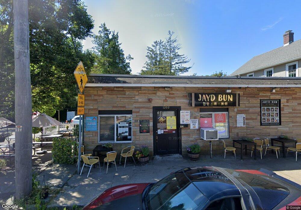
1202 Kingstown Rd Wakefield, RI 02879
Estimated Value: $805,300
--
Bed
--
Bath
--
Sq Ft
--
Built
About This Home
This home is located at 1202 Kingstown Rd, Wakefield, RI 02879 and is currently estimated at $805,300. 1202 Kingstown Rd is a home located in Washington County with nearby schools including South Kingstown High School, Monsignor Matthew Clarke Catholic Regional School, and Bradley School-South.
Ownership History
Date
Name
Owned For
Owner Type
Purchase Details
Closed on
Jul 14, 1998
Sold by
Casino Dennis F and Casino Pasquale
Bought by
Tsagaroulis Peter
Current Estimated Value
Home Financials for this Owner
Home Financials are based on the most recent Mortgage that was taken out on this home.
Original Mortgage
$146,300
Interest Rate
7.02%
Mortgage Type
Purchase Money Mortgage
Create a Home Valuation Report for This Property
The Home Valuation Report is an in-depth analysis detailing your home's value as well as a comparison with similar homes in the area
Home Values in the Area
Average Home Value in this Area
Purchase History
| Date | Buyer | Sale Price | Title Company |
|---|---|---|---|
| Tsagaroulis Peter | $154,000 | -- | |
| Tsagaroulis Peter | $154,000 | -- |
Source: Public Records
Mortgage History
| Date | Status | Borrower | Loan Amount |
|---|---|---|---|
| Open | Tsagaroulis Peter | $655,000 | |
| Closed | Tsagaroulis Peter | $225,000 | |
| Closed | Tsagaroulis Peter | $150,000 | |
| Closed | Tsagaroulis Peter | $146,300 |
Source: Public Records
Tax History Compared to Growth
Tax History
| Year | Tax Paid | Tax Assessment Tax Assessment Total Assessment is a certain percentage of the fair market value that is determined by local assessors to be the total taxable value of land and additions on the property. | Land | Improvement |
|---|---|---|---|---|
| 2025 | $5,469 | $611,700 | $159,000 | $452,700 |
| 2024 | $6,243 | $565,000 | $132,700 | $432,300 |
| 2023 | $6,243 | $565,000 | $132,700 | $432,300 |
| 2022 | $6,187 | $565,000 | $132,700 | $432,300 |
| 2021 | $6,705 | $464,000 | $120,400 | $343,600 |
| 2020 | $6,705 | $464,000 | $120,400 | $343,600 |
| 2019 | $6,705 | $464,000 | $120,400 | $343,600 |
| 2018 | $5,893 | $375,800 | $103,200 | $272,600 |
| 2017 | $5,753 | $375,800 | $103,200 | $272,600 |
| 2016 | $5,663 | $375,300 | $103,200 | $272,100 |
| 2015 | $6,146 | $396,000 | $154,900 | $241,100 |
| 2014 | $6,130 | $396,000 | $154,900 | $241,100 |
Source: Public Records
Map
Nearby Homes
- 3 Larkin St
- 48 Stone Bridge Dr
- 128 North Rd
- 40 Amos St
- 228 Rodman St
- 156 River St Unit B
- 128 Rodman St
- 70 Broad Rock Rd
- 53 Rocky Brook Way
- 17 Celestial Heights Dr
- 37 Columbia St
- 10 Hendricks St
- 31 Winter St
- 23 Rockland Dr
- 918 Saugatucket Rd
- 39 Hazard Ave
- 957 Saugatucket Rd
- 45 Cherry Ln Unit C
- 98 Meadow Ave
- 42 Vespia Ln
- 1208 Kingstown Rd
- 1214 Kingstown Rd
- 1205 Kingstown Rd
- 1218 Kingstown Rd
- 1220 Kingstown Rd
- 1187 Kingstown Rd
- 529 High St
- 1227 Kingstown Rd
- 76 Railroad St
- 519 High St
- 1183 Kingstown Rd
- 1183 Kingstown Rd Unit LL
- 499 High St
- 1175 Kingstown Rd
- 6 Green St
- 1237 Kingstown Rd
- 58 Railroad St
- 12 Green St
- 507 High St
- 301 Church St Unit 302