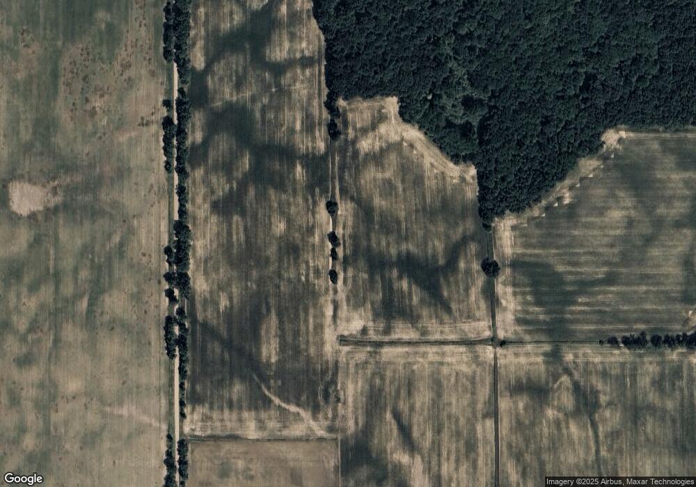
1202 Locust Rd Montgomery, MI 49255
Estimated Value: $211,000 - $239,136
Studio
1
Bath
1,428
Sq Ft
$154/Sq Ft
Est. Value
About This Home
This home is located at 1202 Locust Rd, Montgomery, MI 49255 and is currently estimated at $219,284, approximately $153 per square foot. 1202 Locust Rd is a home located in Branch County with nearby schools including Jennings Elementary School, Quincy Middle School, and Quincy High School.
Ownership History
Date
Name
Owned For
Owner Type
Purchase Details
Closed on
Mar 11, 2022
Sold by
Rufenacht John B and Rufenacht Jennifer M
Bought by
Gleason Scott
Current Estimated Value
Purchase Details
Closed on
Oct 3, 2003
Sold by
Macarthur Denise and Orris Patricia A
Bought by
Rufenacht John B and Rufenacht Jennifer M
Home Financials for this Owner
Home Financials are based on the most recent Mortgage that was taken out on this home.
Original Mortgage
$104,000
Interest Rate
5.81%
Mortgage Type
Purchase Money Mortgage
Create a Home Valuation Report for This Property
The Home Valuation Report is an in-depth analysis detailing your home's value as well as a comparison with similar homes in the area
Purchase History
| Date | Buyer | Sale Price | Title Company |
|---|---|---|---|
| Gleason Scott | -- | None Listed On Document | |
| Rufenacht John B | $130,000 | Chicago Title |
Source: Public Records
Mortgage History
| Date | Status | Borrower | Loan Amount |
|---|---|---|---|
| Previous Owner | Rufenacht John B | $104,000 |
Source: Public Records
Tax History Compared to Growth
Tax History
| Year | Tax Paid | Tax Assessment Tax Assessment Total Assessment is a certain percentage of the fair market value that is determined by local assessors to be the total taxable value of land and additions on the property. | Land | Improvement |
|---|---|---|---|---|
| 2025 | $1,966 | $91,231 | $0 | $0 |
| 2024 | $7 | $83,710 | $0 | $0 |
| 2023 | $681 | $74,148 | $0 | $0 |
| 2022 | $681 | $71,899 | $0 | $0 |
| 2020 | -- | $65,996 | $0 | $0 |
| 2019 | -- | $63,855 | $0 | $0 |
| 2018 | -- | $66,464 | $0 | $0 |
| 2017 | -- | $65,081 | $0 | $0 |
| 2016 | -- | $64,457 | $0 | $0 |
| 2015 | -- | $62,487 | $0 | $0 |
| 2014 | -- | $56,572 | $0 | $0 |
| 2013 | -- | $54,012 | $0 | $0 |
Source: Public Records
Map
Nearby Homes
- V/L Delmar Rd
- 6430 E 784 N
- 219 N Hayward St
- 115 N Michigan St
- 203 S Main St
- 9677 W Camden Rd
- 9911 Lake Dr
- 9949 Indian Trail
- 7841 Topinabee Dr
- 490 Kelley Rd
- 107 Mary St
- 7950 E 400 N
- 501 E Toledo St
- 304 Hardy St
- 6405 N 300 E
- 00 N 300 Rd E
- 6524 W Montgomery Rd
- 300 N Coldwater St
- 646 E Copeland Rd
- 702 W Spring St
- 1202 E Southern Rd
- 1166 Southern Rd
- 127 N Haywood St
- 127 Haywood St
- 1186 Paul Rd
- 1202 State Line Rd
- 1176 Paul Rd
- 1165 Vanderpool Ln
- 1276 Southern Rd
- 914 Kelley Rd
- 995 Duquid Rd
- 1161 Vanderpool Ln
- 927 Kelley Rd
- 1136 Paul Rd
- 1008 Kelley Rd
- 1121 Southern Rd
- 1204 State Line Rd
- 1701 Southern Rd
- 1025 Duquid Rd
- 927 Phillip Rd
