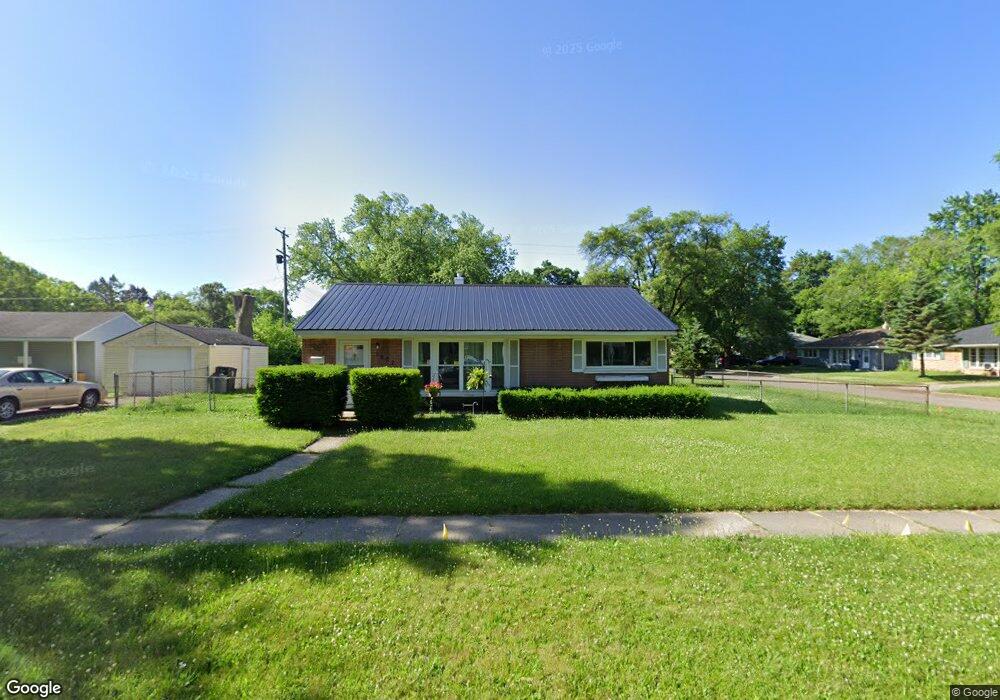
1202 Mohawk Ave Flint, MI 48507
Circle Neighborhood NeighborhoodEstimated Value: $63,000 - $98,000
3
Beds
1
Bath
1,092
Sq Ft
$75/Sq Ft
Est. Value
About This Home
This home is located at 1202 Mohawk Ave, Flint, MI 48507 and is currently estimated at $81,667, approximately $74 per square foot. 1202 Mohawk Ave is a home located in Genesee County with nearby schools including Freeman Elementary School, Flint Southwestern Classical Academy, and Burton Glen Charter Academy.
Ownership History
Date
Name
Owned For
Owner Type
Purchase Details
Closed on
Jul 29, 2024
Sold by
Tougas Michel A
Bought by
Tougasco 3
Current Estimated Value
Purchase Details
Closed on
Jun 12, 2013
Sold by
Tougas Michael A and Tougas Beverly A
Bought by
Jpmorgan Chase Bank National Association
Purchase Details
Closed on
Oct 10, 2002
Sold by
Hud
Bought by
Tougas Michel A
Purchase Details
Closed on
Mar 27, 2001
Sold by
Citimortgage Inc
Bought by
Hud
Purchase Details
Closed on
Nov 15, 2000
Sold by
Knepp J
Bought by
Citimortgage Inc
Purchase Details
Closed on
Apr 4, 2000
Sold by
Grove Norris D and Grove Florence
Bought by
Knepp Joann
Create a Home Valuation Report for This Property
The Home Valuation Report is an in-depth analysis detailing your home's value as well as a comparison with similar homes in the area
Home Values in the Area
Average Home Value in this Area
Purchase History
| Date | Buyer | Sale Price | Title Company |
|---|---|---|---|
| Tougasco 3 | -- | None Listed On Document | |
| Jpmorgan Chase Bank National Association | $5,636 | None Available | |
| Tougas Michel A | $45,101 | -- | |
| Hud | -- | -- | |
| Citimortgage Inc | $64,395 | -- | |
| Knepp Joann | $60,700 | Sargents Title Company |
Source: Public Records
Tax History
| Year | Tax Paid | Tax Assessment Tax Assessment Total Assessment is a certain percentage of the fair market value that is determined by local assessors to be the total taxable value of land and additions on the property. | Land | Improvement |
|---|---|---|---|---|
| 2025 | $1,092 | $35,400 | $0 | $0 |
| 2024 | $1,013 | $31,600 | $0 | $0 |
| 2023 | $991 | $24,800 | $0 | $0 |
| 2022 | $0 | $17,100 | $0 | $0 |
| 2021 | $1,004 | $12,800 | $0 | $0 |
| 2020 | $924 | $11,700 | $0 | $0 |
| 2019 | $905 | $10,700 | $0 | $0 |
| 2018 | $892 | $10,900 | $0 | $0 |
| 2017 | $869 | $0 | $0 | $0 |
| 2016 | $864 | $0 | $0 | $0 |
| 2015 | -- | $0 | $0 | $0 |
| 2014 | -- | $0 | $0 | $0 |
| 2012 | -- | $13,700 | $0 | $0 |
Source: Public Records
Map
Nearby Homes
- 2910 Shawnee Ave
- 3209 Shawnee Ave
- 3115 Circle Dr
- 3505 Comanche Ave
- 3222 Chambers St
- 3056 Shaw St
- 630 Buckingham Ave
- 621 Burroughs Ave
- 3277 Sayre Ct
- 2210 S Term St
- 2033 Seymour Ave
- 1930 Owen St
- 3128 Ludwig St
- 2221 Howard Ave
- 9211 Owen St
- 621 Lochhead Ave
- 818 Dell Ave
- 4424 Cheyenne Ave
- 2224 Crocker Ave
- 2029 Winans Ave
- 2909 Cheyenne Ave
- 1210 Mohawk Ave
- 2910 Menominee Ave
- 1205 Mohawk Ave
- 1201 Mohawk Ave
- 2914 Menominee Ave
- 1209 Mohawk Ave
- 1110 Mohawk Ave
- 2917 Cheyenne Ave
- 1117 Mohawk Ave
- 2910 Cheyenne Ave
- 1213 Mohawk Ave
- 2918 Menominee Ave
- 2914 Cheyenne Ave
- 1113 Mohawk Ave
- 3001 Cheyenne Ave
- 1217 Mohawk Ave
- 2918 Cheyenne Ave
- 3002 Menominee Ave
- 1109 Mohawk Ave
Your Personal Tour Guide
Ask me questions while you tour the home.