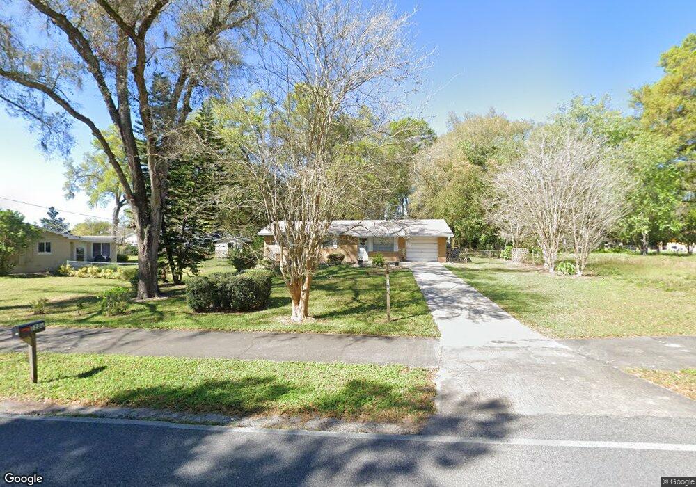
1202 N Garfield Ave Deland, FL 32724
North DeLand NeighborhoodEstimated Value: $255,000 - $265,000
3
Beds
2
Baths
1,176
Sq Ft
$220/Sq Ft
Est. Value
About This Home
This home is located at 1202 N Garfield Ave, Deland, FL 32724 and is currently estimated at $259,038, approximately $220 per square foot. 1202 N Garfield Ave is a home located in Volusia County with nearby schools including George W. Marks Elementary School, Deland High School, and Deland Middle School.
Ownership History
Date
Name
Owned For
Owner Type
Purchase Details
Closed on
Dec 19, 2019
Sold by
Ethridge Johnny and Ethridge Margaret L
Bought by
Ethridge John Michael and Springgs Angela Ethridge
Current Estimated Value
Purchase Details
Closed on
Oct 31, 2013
Sold by
Ethridge Johnny L and Ethridge Margaret L
Bought by
Ethridge Johnny L and Ethridge Margaret L
Purchase Details
Closed on
Jul 15, 1982
Bought by
Ethridge Johnny L and Ethridge Margaret L
Purchase Details
Closed on
Oct 15, 1975
Bought by
Ethridge Johnny L and Ethridge Margaret L
Create a Home Valuation Report for This Property
The Home Valuation Report is an in-depth analysis detailing your home's value as well as a comparison with similar homes in the area
Home Values in the Area
Average Home Value in this Area
Purchase History
| Date | Buyer | Sale Price | Title Company |
|---|---|---|---|
| Ethridge John Michael | -- | Attorney | |
| Ethridge Johnny L | -- | Attorney | |
| Ethridge Johnny L | $36,000 | -- | |
| Ethridge Johnny L | $26,000 | -- |
Source: Public Records
Tax History Compared to Growth
Tax History
| Year | Tax Paid | Tax Assessment Tax Assessment Total Assessment is a certain percentage of the fair market value that is determined by local assessors to be the total taxable value of land and additions on the property. | Land | Improvement |
|---|---|---|---|---|
| 2025 | $2,937 | $201,342 | $52,070 | $149,272 |
| 2024 | $2,937 | $204,598 | $52,070 | $152,528 |
| 2023 | $2,937 | $183,810 | $48,260 | $135,550 |
| 2022 | $2,739 | $168,380 | $48,260 | $120,120 |
| 2021 | $2,646 | $145,052 | $36,195 | $108,857 |
| 2020 | $2,433 | $130,837 | $31,750 | $99,087 |
| 2019 | $2,329 | $112,945 | $25,400 | $87,545 |
| 2018 | $2,157 | $98,924 | $16,510 | $82,414 |
| 2017 | $2,024 | $89,494 | $16,492 | $73,002 |
| 2016 | $1,855 | $86,035 | $0 | $0 |
| 2015 | $1,776 | $80,992 | $0 | $0 |
| 2014 | $1,588 | $66,785 | $0 | $0 |
Source: Public Records
Map
Nearby Homes
- 526 Cumberland Rd
- 404 E Kentucky Ave
- 569 Parkdale Ct
- 1408 N Garfield Ave
- 528 Compton Ct
- 1412 N Garfield Ave
- 516 Grace Ave
- 1207 N Amelia Ave
- 1301 N Amelia Ave
- 605 John Thomas Ave
- 1 Smith Ct
- 205 E Kentucky Ave
- 1401 Hendren Dr
- 717 E Grove Place
- 930 N Amelia Ave
- 1300 Benton Lake Dr E
- 1410 Heather Glen Dr
- 505 E Plymouth Ave
- 325 E Plymouth Ave
- 1307 Cook St
- 1200 N Garfield Ave
- 504 Oakridge Ave
- 412 E Kentucky Ave
- 408 E Kentucky Ave
- 406 E Kentucky Ave
- 495 Oakridge Ave
- 1201 N Garfield Ave
- 1245 N Garfield Ave
- 1196 N Garfield Ave
- 505 Oakridge Ave
- 503 Cumberland Rd
- 502 Cumberland Rd
- 1217 N Cambridge St
- 494 Oakridge Ave
- 411 E Kentucky Ave
- 522 E Kentucky Ave
- 413 E Kentucky Ave
- 409 E Kentucky Ave
- 1197 N Garfield Ave
- 1215 N Cambridge St