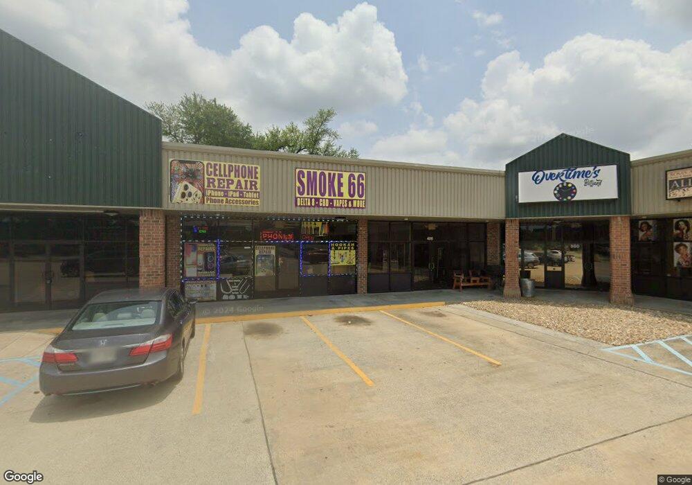
1202 N Highway 171 Hwy Unit 450 Lake Charles, LA 70601
Estimated Value: $1,373,541
--
Bed
1
Bath
1,150
Sq Ft
$1,194/Sq Ft
Est. Value
About This Home
This home is located at 1202 N Highway 171 Hwy Unit 450, Lake Charles, LA 70601 and is currently estimated at $1,373,541, approximately $1,194 per square foot. 1202 N Highway 171 Hwy Unit 450 is a home located in Calcasieu Parish with nearby schools including Combre-Fondel Elementary School, Ray D. Molo Middle School, and Washington-Marion Magnet High School.
Ownership History
Date
Name
Owned For
Owner Type
Purchase Details
Closed on
Jan 5, 2021
Sold by
Petra La Llc
Bought by
Tal Shamayim Properties Llc
Current Estimated Value
Home Financials for this Owner
Home Financials are based on the most recent Mortgage that was taken out on this home.
Original Mortgage
$585,942
Outstanding Balance
$522,955
Interest Rate
2.71%
Mortgage Type
Commercial
Estimated Equity
$850,586
Purchase Details
Closed on
May 12, 2014
Sold by
Shami Farouk M and Shami Izziah
Bought by
Petra La Llc
Create a Home Valuation Report for This Property
The Home Valuation Report is an in-depth analysis detailing your home's value as well as a comparison with similar homes in the area
Home Values in the Area
Average Home Value in this Area
Purchase History
| Date | Buyer | Sale Price | Title Company |
|---|---|---|---|
| Tal Shamayim Properties Llc | $1,375,000 | None Available | |
| Petra La Llc | $484,224 | None Available |
Source: Public Records
Mortgage History
| Date | Status | Borrower | Loan Amount |
|---|---|---|---|
| Open | Tal Shamayim Properties Llc | $585,942 |
Source: Public Records
Tax History Compared to Growth
Tax History
| Year | Tax Paid | Tax Assessment Tax Assessment Total Assessment is a certain percentage of the fair market value that is determined by local assessors to be the total taxable value of land and additions on the property. | Land | Improvement |
|---|---|---|---|---|
| 2024 | $13,452 | $117,920 | $15,920 | $102,000 |
| 2023 | $13,452 | $117,920 | $15,920 | $102,000 |
| 2022 | $13,569 | $117,920 | $15,920 | $102,000 |
| 2021 | $9,417 | $85,280 | $15,920 | $69,360 |
| 2020 | $10,929 | $84,480 | $15,120 | $69,360 |
| 2019 | $15,665 | $116,470 | $14,470 | $102,000 |
| 2018 | $14,303 | $116,470 | $14,470 | $102,000 |
| 2017 | $13,230 | $116,470 | $14,470 | $102,000 |
| 2016 | $13,269 | $116,470 | $14,470 | $102,000 |
| 2015 | $13,162 | $116,470 | $14,470 | $102,000 |
Source: Public Records
Map
Nearby Homes
- 2611 Pineview St
- 1303 Wendell St
- 822 Sally Mae St
- 1017 N Lincoln St
- 206 N Lincoln St
- 2707 Mary St
- 2721 Medora St
- 2413 Moeling St
- 0 Walker St
- 717 N Malcolm St
- 2402 Moeling St
- 2322 Poplar St
- 0 Donateil St Unit SWL25003194
- 715 N Malcolm St
- 1718 N Martin Luther King Hwy
- 1710 Graham St
- 2915 N J B Carter Ln Ln N
- 1804 Graham St
- 0 N Booker St Unit SWL25003063
- 0 N Booker St Unit SWL24007027
- 1202 N Highway 171 Hwy
- 1200 N Martin Luther King Hwy Unit 100
- 1200 N Martin Luther King Hwy Unit 300 350 400
- 1200 N Martin Luther King Hwy Unit 500
- 1200 N Martin Luther King Hwy Unit 800
- 1200 N Martin Luther King Hwy Unit 450
- 1200 N Martin Luther King Hwy Unit 650-700
- 1200 N Martin Luther King Hwy
- 1200 N Mlk Hwy N
- 2607 Blackwell St
- 2604 Blackwell St
- 2624 Highway St
- 2608 Highway St
- 2608 Blackwell St
- 2611 Blackwell St
- 2662 Highway 24
- 1215 Martin Luther King Hwy
- 271 N Hwy Hwy N
- 397 Highway
- 2612 Blackwell St