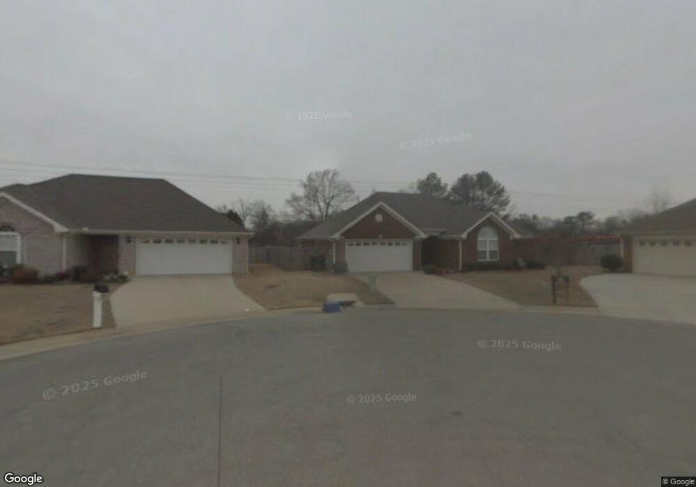
1202 Palisade Ct SW Decatur, AL 35603
Westmead NeighborhoodEstimated Value: $196,000 - $223,000
3
Beds
2
Baths
1,435
Sq Ft
$147/Sq Ft
Est. Value
About This Home
This home is located at 1202 Palisade Ct SW, Decatur, AL 35603 and is currently estimated at $211,379, approximately $147 per square foot. 1202 Palisade Ct SW is a home located in Morgan County with nearby schools including Julian Harris Elementary School, Cedar Ridge Middle School, and Austin High School.
Ownership History
Date
Name
Owned For
Owner Type
Purchase Details
Closed on
Apr 22, 2021
Sold by
Ailes Bradford Kenneth and Ailes Betty Jean
Bought by
Sandlin Jonathan
Current Estimated Value
Purchase Details
Closed on
Jun 22, 2009
Sold by
Key Jonathan and Key Patricia
Bought by
Ailes Bradford Kenneth and Ailes Betty Jean
Home Financials for this Owner
Home Financials are based on the most recent Mortgage that was taken out on this home.
Original Mortgage
$125,542
Interest Rate
4.77%
Mortgage Type
VA
Create a Home Valuation Report for This Property
The Home Valuation Report is an in-depth analysis detailing your home's value as well as a comparison with similar homes in the area
Home Values in the Area
Average Home Value in this Area
Purchase History
| Date | Buyer | Sale Price | Title Company |
|---|---|---|---|
| Sandlin Jonathan | $125,000 | None Available | |
| Ailes Bradford Kenneth | $122,900 | None Available |
Source: Public Records
Mortgage History
| Date | Status | Borrower | Loan Amount |
|---|---|---|---|
| Previous Owner | Ailes Bradford Kenneth | $125,542 |
Source: Public Records
Tax History Compared to Growth
Tax History
| Year | Tax Paid | Tax Assessment Tax Assessment Total Assessment is a certain percentage of the fair market value that is determined by local assessors to be the total taxable value of land and additions on the property. | Land | Improvement |
|---|---|---|---|---|
| 2024 | $684 | $16,130 | $2,680 | $13,450 |
| 2023 | $691 | $16,300 | $2,680 | $13,620 |
| 2022 | $1,420 | $15,670 | $2,530 | $13,140 |
| 2021 | $0 | $13,640 | $2,530 | $11,110 |
| 2020 | $0 | $23,240 | $2,500 | $20,740 |
| 2019 | $0 | $13,000 | $0 | $0 |
| 2015 | -- | $12,340 | $0 | $0 |
| 2014 | -- | $12,340 | $0 | $0 |
| 2013 | -- | $12,600 | $0 | $0 |
Source: Public Records
Map
Nearby Homes
- 1203 Palisade Ct SW
- 1740 Nottingham Dr SW
- 1406 Goldridge Dr SW
- 2623 Allerton Cir SW
- 1824 Scobee Ave SW
- 1221 Excalibur Dr SW
- 1257 Excalibur Dr SW
- 1408 Lake Pointe Dr SW
- 1901 Shepard Dr SW
- 2414 Brookline Ct SW
- 2415 Gaslight Place SW
- 1712 Brookline Ave SW
- 2413 Gaslight Place SW
- 2409 Brookline Ct SW
- 2410 Kathy Ln SW
- 2923 Legacy Dr SW
- 7.5 Brownstone Ct SW
- 1920 Brayden Dr
- 1827 Brownstone Ave SW
- 1829 Brownstone Ave SW
- 1204 Palisade Ct SW
- 1201 Palisade Ct SW
- 1206 Palisade Ct SW
- 1201 Pavillion Place SW
- 1203 Palisade Ct SW
- 1203 Pavillion Place SW
- 1208 Palisade Ct SW
- 1205 Palisade Ct SW
- 2603 Little John St SW
- 1205 Pavillion Place SW
- 1200 Pavillion Place SW
- 1207 Palisade Ct SW
- 1204 Hanging Moss Ct SW
- 1210 Palisade Ct SW
- 2601 Little John St SW
- 1202 Hanging Moss Ct SW
- 2708 Columns Way SW
- 2620 Old Moulton Rd SW
- 1206 Hanging Moss Ct SW
- 1209 Palisade Ct SW