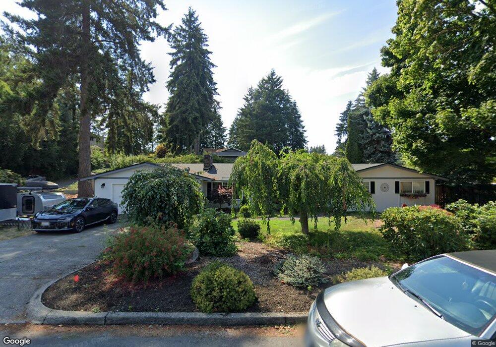
1202 Palm Dr Fircrest, WA 98466
Estimated Value: $731,325 - $806,000
4
Beds
3
Baths
2,548
Sq Ft
$306/Sq Ft
Est. Value
About This Home
This home is located at 1202 Palm Dr, Fircrest, WA 98466 and is currently estimated at $780,331, approximately $306 per square foot. 1202 Palm Dr is a home located in Pierce County with nearby schools including Whittier Elementary School, Wainwright Intermediate School, and Foss High School.
Ownership History
Date
Name
Owned For
Owner Type
Purchase Details
Closed on
Jan 2, 2007
Sold by
Steiner Donald L and Morgan Barbara A
Bought by
Fouquette David R and Stockton Theresa J
Current Estimated Value
Home Financials for this Owner
Home Financials are based on the most recent Mortgage that was taken out on this home.
Original Mortgage
$262,400
Interest Rate
6.15%
Mortgage Type
Purchase Money Mortgage
Purchase Details
Closed on
Apr 27, 2004
Sold by
Michael Matthew C
Bought by
Steiner Donald L and Morgan Barbara A
Home Financials for this Owner
Home Financials are based on the most recent Mortgage that was taken out on this home.
Original Mortgage
$215,950
Interest Rate
5.35%
Mortgage Type
Purchase Money Mortgage
Purchase Details
Closed on
Feb 5, 1996
Sold by
Albert Mitzi T
Bought by
Michael Matthew C and Michael Suzanne Buell
Create a Home Valuation Report for This Property
The Home Valuation Report is an in-depth analysis detailing your home's value as well as a comparison with similar homes in the area
Home Values in the Area
Average Home Value in this Area
Purchase History
| Date | Buyer | Sale Price | Title Company |
|---|---|---|---|
| Fouquette David R | $403,166 | Stewart Title | |
| Steiner Donald L | $269,950 | Rainier Title Company | |
| Michael Matthew C | -- | -- |
Source: Public Records
Mortgage History
| Date | Status | Borrower | Loan Amount |
|---|---|---|---|
| Previous Owner | Fouquette David R | $262,400 | |
| Previous Owner | Steiner Donald L | $215,950 |
Source: Public Records
Tax History Compared to Growth
Tax History
| Year | Tax Paid | Tax Assessment Tax Assessment Total Assessment is a certain percentage of the fair market value that is determined by local assessors to be the total taxable value of land and additions on the property. | Land | Improvement |
|---|---|---|---|---|
| 2025 | $6,412 | $681,900 | $328,000 | $353,900 |
| 2024 | $6,412 | $673,400 | $308,700 | $364,700 |
| 2023 | $6,412 | $672,500 | $304,200 | $368,300 |
| 2022 | $6,040 | $671,500 | $312,900 | $358,600 |
| 2021 | $5,783 | $498,100 | $220,000 | $278,100 |
| 2019 | $4,562 | $461,600 | $188,400 | $273,200 |
| 2018 | $5,034 | $423,800 | $160,800 | $263,000 |
| 2017 | $4,582 | $378,900 | $130,400 | $248,500 |
| 2016 | $4,299 | $302,500 | $94,800 | $207,700 |
| 2014 | $3,893 | $290,900 | $91,000 | $199,900 |
| 2013 | $3,893 | $258,200 | $81,900 | $176,300 |
Source: Public Records
Map
Nearby Homes
- 3827 67th Avenue Ct W
- 4003 Flora Dr
- 1322 W Mount Dr
- 6910 38th Street Ct W Unit 6910
- 3728 70th Avenue Ct W
- 4221 67th Ave W Unit A
- 4311 67th Ave W Unit B
- 7117 40th St W Unit 18
- 1450 Alameda Ave Unit 1
- 914 Alameda Ave
- 4641 67th Avenue Ct W Unit 4643
- 4211 Shoshone St W
- 1310 Boise St Unit 2
- 1324 Boise St
- 7606 37th St W Unit B3
- 7612 37th St W Unit D
- 4708 63rd Ave W
- 4509 74th Avenue Ct W
- 4601 73rd Avenue Ct W
- 3510 Oas Dr W