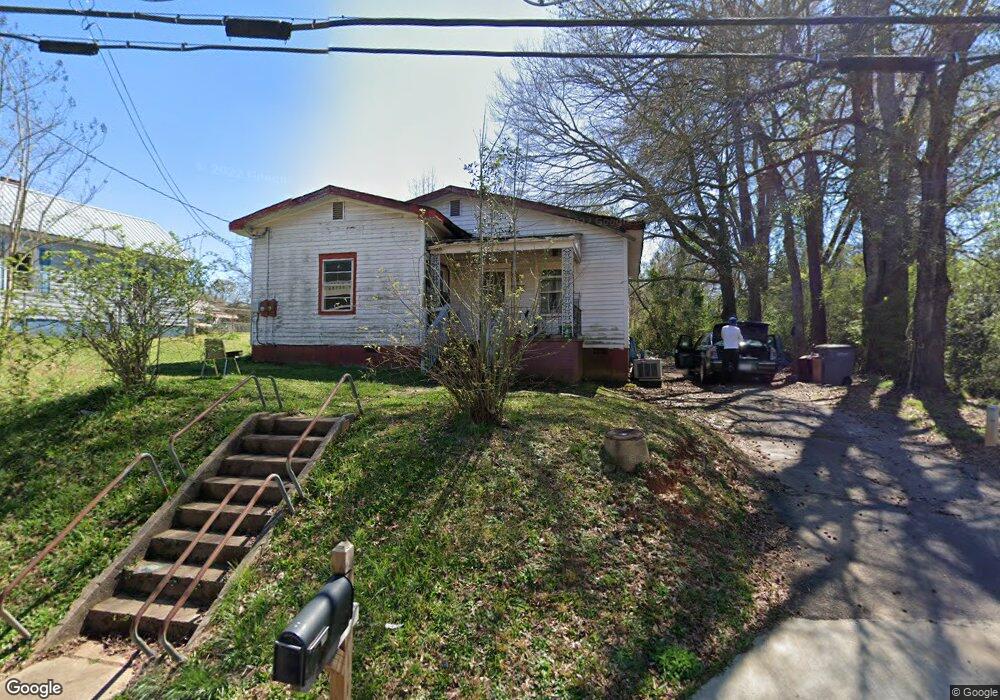
1202 Paxton St Lagrange, GA 30241
Estimated Value: $76,327 - $112,000
2
Beds
1
Bath
1,168
Sq Ft
$81/Sq Ft
Est. Value
About This Home
This home is located at 1202 Paxton St, Lagrange, GA 30241 and is currently estimated at $94,082, approximately $80 per square foot. 1202 Paxton St is a home located in Troup County with nearby schools including Hollis Hand Elementary School, Franklin Forest Elementary School, and Ethel W. Kight Elementary School.
Ownership History
Date
Name
Owned For
Owner Type
Purchase Details
Closed on
Jun 11, 1999
Sold by
Robert T Upchurch
Bought by
Garrett Tessica L
Current Estimated Value
Purchase Details
Closed on
Mar 26, 1999
Sold by
Robt Mcclain and Realtor Sale
Bought by
Robert T Upchurch
Purchase Details
Closed on
Feb 1, 1986
Sold by
Samuel Aaron Storey
Bought by
Robt Mcclain and Realtor Sale
Purchase Details
Closed on
Apr 10, 1976
Bought by
Samuel Aaron Storey
Purchase Details
Closed on
Jan 12, 1976
Sold by
Jimmy Vowell
Purchase Details
Closed on
Jan 1, 1964
Sold by
Oren T Brown
Bought by
Jimmy Vowell
Create a Home Valuation Report for This Property
The Home Valuation Report is an in-depth analysis detailing your home's value as well as a comparison with similar homes in the area
Purchase History
| Date | Buyer | Sale Price | Title Company |
|---|---|---|---|
| Garrett Tessica L | $29,500 | -- | |
| Robert T Upchurch | $16,500 | -- | |
| Robt Mcclain | $26,500 | -- | |
| Samuel Aaron Storey | -- | -- | |
| -- | $17,000 | -- | |
| Jimmy Vowell | -- | -- |
Source: Public Records
Tax History
| Year | Tax Paid | Tax Assessment Tax Assessment Total Assessment is a certain percentage of the fair market value that is determined by local assessors to be the total taxable value of land and additions on the property. | Land | Improvement |
|---|---|---|---|---|
| 2025 | $630 | $23,108 | $2,360 | $20,748 |
| 2024 | $589 | $21,588 | $2,360 | $19,228 |
| 2023 | $444 | $16,268 | $2,360 | $13,908 |
| 2022 | $421 | $15,068 | $2,360 | $12,708 |
| 2021 | $369 | $12,244 | $2,360 | $9,884 |
| 2020 | $369 | $12,244 | $2,360 | $9,884 |
| 2019 | $355 | $11,780 | $2,360 | $9,420 |
| 2018 | $310 | $10,276 | $2,360 | $7,916 |
| 2017 | $306 | $10,133 | $2,217 | $7,916 |
| 2016 | $314 | $10,423 | $2,217 | $8,206 |
| 2015 | $312 | $10,316 | $2,110 | $8,206 |
| 2014 | $300 | $9,925 | $2,110 | $7,815 |
| 2013 | -- | $15,808 | $2,088 | $13,720 |
Source: Public Records
Map
Nearby Homes
- 2 Louise St
- 4 1/2 Barnard Ave
- 15 Fulton St
- 0 E Render St
- 5 Curran Ave
- 204 Cleveland Dr
- 117 Belk St
- 121 de Groat St
- 228 E Render St
- 87 Youngs Mill Rd
- 212 Cleveland Dr
- LOT 58 Belk St
- 119 Belk St
- LOT 65 Belk St
- LOT 66 Belk St
- 3 Gulfstream Dr
- 5 Gulfstream Dr
- 147 Shenandoah Ln
- 143 Shenandoah Ln
- 141 Shenandoah Ln
Your Personal Tour Guide
Ask me questions while you tour the home.