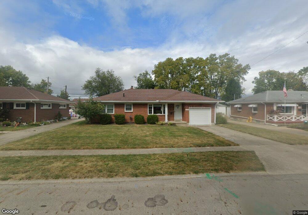
1202 Redbud Ln Springfield, OH 45504
Estimated Value: $188,000 - $201,000
3
Beds
1
Bath
1,236
Sq Ft
$158/Sq Ft
Est. Value
About This Home
This home is located at 1202 Redbud Ln, Springfield, OH 45504 and is currently estimated at $195,639, approximately $158 per square foot. 1202 Redbud Ln is a home located in Clark County with nearby schools including Snowhill Elementary School, Roosevelt Middle School, and Springfield High School.
Ownership History
Date
Name
Owned For
Owner Type
Purchase Details
Closed on
Aug 27, 2012
Sold by
Wilcoxon Darrell J and Wilcoxon Kimberly J
Bought by
Johnson Bonnie L
Current Estimated Value
Home Financials for this Owner
Home Financials are based on the most recent Mortgage that was taken out on this home.
Original Mortgage
$109,250
Outstanding Balance
$74,403
Interest Rate
3.54%
Mortgage Type
New Conventional
Estimated Equity
$121,236
Purchase Details
Closed on
Sep 24, 1999
Sold by
Summers Donna B
Bought by
Wilcoxon Darrell J
Home Financials for this Owner
Home Financials are based on the most recent Mortgage that was taken out on this home.
Original Mortgage
$79,800
Interest Rate
7.78%
Mortgage Type
Purchase Money Mortgage
Purchase Details
Closed on
Nov 22, 1993
Create a Home Valuation Report for This Property
The Home Valuation Report is an in-depth analysis detailing your home's value as well as a comparison with similar homes in the area
Home Values in the Area
Average Home Value in this Area
Purchase History
| Date | Buyer | Sale Price | Title Company |
|---|---|---|---|
| Johnson Bonnie L | $118,000 | -- | |
| Wilcoxon Darrell J | $84,000 | -- | |
| -- | -- | -- |
Source: Public Records
Mortgage History
| Date | Status | Borrower | Loan Amount |
|---|---|---|---|
| Open | Johnson Bonnie L | $109,250 | |
| Previous Owner | Wilcoxon Darrell J | $79,800 |
Source: Public Records
Tax History
| Year | Tax Paid | Tax Assessment Tax Assessment Total Assessment is a certain percentage of the fair market value that is determined by local assessors to be the total taxable value of land and additions on the property. | Land | Improvement |
|---|---|---|---|---|
| 2025 | $1,910 | $54,370 | $9,000 | $45,370 |
| 2024 | $1,910 | $38,610 | $8,290 | $30,320 |
| 2023 | $1,861 | $38,610 | $8,290 | $30,320 |
| 2022 | $1,906 | $38,610 | $8,290 | $30,320 |
| 2021 | $1,726 | $32,280 | $6,420 | $25,860 |
| 2020 | $1,730 | $32,280 | $6,420 | $25,860 |
| 2019 | $1,734 | $32,280 | $6,420 | $25,860 |
| 2018 | $1,721 | $30,780 | $5,920 | $24,860 |
| 2017 | $1,720 | $31,735 | $5,922 | $25,813 |
| 2016 | $1,722 | $31,735 | $5,922 | $25,813 |
| 2015 | $1,644 | $29,299 | $5,586 | $23,713 |
| 2014 | $1,637 | $29,299 | $5,586 | $23,713 |
| 2013 | $1,619 | $29,299 | $5,586 | $23,713 |
Source: Public Records
Map
Nearby Homes
- 720 W Harding Rd
- 1329 Lamar Dr
- 1425 Sheaff Rd
- 648 N Tanglewood Dr
- 820 W 1st St
- 408 Southwood Dr
- 1015 Hillcrest Ave
- 327 Ardmore Rd
- 271 S Broadmoor Blvd
- 125 Hawthorne Rd
- 110 S Broadmoor Blvd
- 2002 N Fountain Blvd
- 423 N Jackson St Unit 425
- 511 N Light St
- 430 N Jackson St
- 366 N Isabella St
- 424 N Shaffer St
- 424-424 1/2 N Shaffer St
- 705 Grant St Unit 705
- 705-705 1/2 Grant St Unit 705
- 1130 Redbud Ln
- 1208 Redbud Ln
- 1216 Redbud Ln
- 1122 Redbud Ln
- 1222 Redbud Ln
- 1723 Malden Ave
- 1114 Redbud Ln
- 1211 Redbud Ln
- 1119 Redbud Ln
- 1215 Redbud Ln
- 1228 Redbud Ln
- 1106 Redbud Ln
- 1111 Redbud Ln
- 1715 Malden Ave
- 1720 Malden Ave
- 1714 Briarwood Terrace
- 1234 Redbud Ln
- 1100 Redbud Ln
- 1714 Malden Ave
- 1709 Malden Ave
Your Personal Tour Guide
Ask me questions while you tour the home.