1202 Sunset Dr Bandon, OR 97411
Estimated Value: $405,777 - $448,000
2
Beds
2
Baths
1,032
Sq Ft
$414/Sq Ft
Est. Value
About This Home
This home is located at 1202 Sunset Dr, Bandon, OR 97411 and is currently estimated at $426,889, approximately $413 per square foot. 1202 Sunset Dr is a home located in Coos County with nearby schools including Ocean Crest Elementary School, Harbor Lights Middle School, and Bandon Senior High School.
Ownership History
Date
Name
Owned For
Owner Type
Purchase Details
Closed on
Jun 18, 2010
Sold by
Mcgrath Sheri and Mcgrath Sherri
Bought by
Rodgers Eleanor Louise
Current Estimated Value
Home Financials for this Owner
Home Financials are based on the most recent Mortgage that was taken out on this home.
Original Mortgage
$120,000
Outstanding Balance
$80,503
Interest Rate
4.99%
Mortgage Type
New Conventional
Estimated Equity
$346,386
Purchase Details
Closed on
Aug 11, 2008
Sold by
Bandon Commons Llc
Bought by
Mcgrath Sherri
Home Financials for this Owner
Home Financials are based on the most recent Mortgage that was taken out on this home.
Original Mortgage
$157,500
Interest Rate
6.37%
Mortgage Type
Purchase Money Mortgage
Create a Home Valuation Report for This Property
The Home Valuation Report is an in-depth analysis detailing your home's value as well as a comparison with similar homes in the area
Home Values in the Area
Average Home Value in this Area
Purchase History
| Date | Buyer | Sale Price | Title Company |
|---|---|---|---|
| Rodgers Eleanor Louise | $180,000 | First American Title | |
| Mcgrath Sherri | $175,000 | First American Title |
Source: Public Records
Mortgage History
| Date | Status | Borrower | Loan Amount |
|---|---|---|---|
| Open | Rodgers Eleanor Louise | $120,000 | |
| Previous Owner | Mcgrath Sherri | $157,500 |
Source: Public Records
Tax History Compared to Growth
Tax History
| Year | Tax Paid | Tax Assessment Tax Assessment Total Assessment is a certain percentage of the fair market value that is determined by local assessors to be the total taxable value of land and additions on the property. | Land | Improvement |
|---|---|---|---|---|
| 2024 | $2,031 | $180,940 | -- | -- |
| 2023 | $1,978 | $175,670 | $0 | $0 |
| 2022 | $1,986 | $170,560 | $0 | $0 |
| 2021 | $1,908 | $165,600 | $0 | $0 |
| 2020 | $1,732 | $165,600 | $0 | $0 |
| 2019 | $1,727 | $156,100 | $0 | $0 |
| 2018 | $1,624 | $151,560 | $0 | $0 |
| 2017 | $1,586 | $147,150 | $0 | $0 |
| 2016 | $1,538 | $142,870 | $0 | $0 |
| 2015 | $1,451 | $138,710 | $0 | $0 |
| 2014 | $1,451 | $134,670 | $0 | $0 |
Source: Public Records
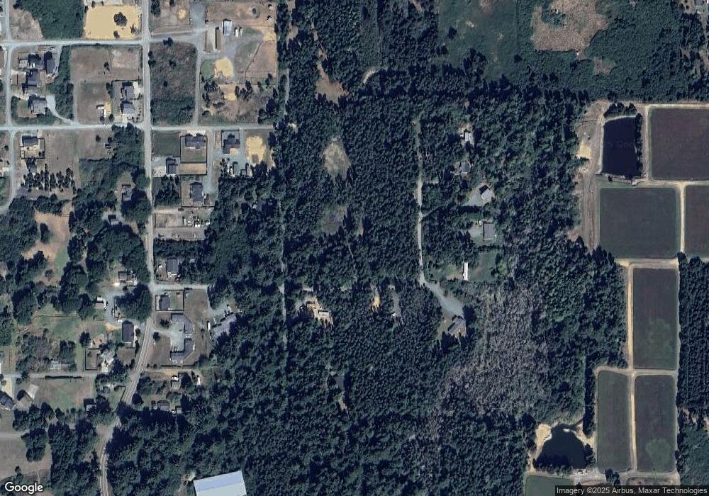
Map
Nearby Homes
- 1575 Beach Loop Dr SW
- 1411 Alder Ct
- 1145 Newport Ave SW
- 1260 Jackson Ave SW
- 1313 Village Loop
- 1312 Village Loop
- 1950 Beach Loop Dr SW
- 1323 Village Loop
- 1327 Village Loop
- 0 13th and Jackson Unit 24681187
- 875 12th St SW
- 2131 Beach Loop Dr SW
- 865 Newport Ave SW
- 835 SW 11th
- 00 Harrison Ave Lot B
- 55042 Franklin Rd
- 757 Newport Ave SW
- 55058 Franklin Ave SW
- 2485 Beach Loop Rd
- 655 11th St SW
- 1202 Sunrise Ct
- 1202 Sunrise Ct
- 1204 Sunrise Ct
- 1206 Sunrise Ct
- 1206 Sunrise Ct
- 1499 Ginkgo Ct
- 1497 Ginkgo Ct
- 1491 Ginkgo Ct Unit 13
- 1488 Fir Ct
- 1495 Ginkgo Ct
- 1493 Ginkgo Ct
- 1486 Fir Ct
- 1337 Beach Loop Dr SW
- 1480 Fir Ct
- 1469 Elm Ct 10
- 1469 Elm Ct Unit 10
- 1469 Elm Ct
- 1467 Elm Ct
- 1484 Fir Ct
- 1482 Fir Ct