1202 Tarrtown Rd Adrian, PA 16210
East Franklin Township NeighborhoodEstimated Value: $89,480 - $285,000
3
Beds
2
Baths
1,876
Sq Ft
$102/Sq Ft
Est. Value
About This Home
This home is located at 1202 Tarrtown Rd, Adrian, PA 16210 and is currently estimated at $191,370, approximately $102 per square foot. 1202 Tarrtown Rd is a home located in Armstrong County with nearby schools including West Hills Intermediate School and West Hills Primary School.
Ownership History
Date
Name
Owned For
Owner Type
Purchase Details
Closed on
Jun 15, 2007
Sold by
Stanko Robert S and Stanko Diane K
Bought by
Laird Timothy S
Current Estimated Value
Home Financials for this Owner
Home Financials are based on the most recent Mortgage that was taken out on this home.
Original Mortgage
$80,000
Outstanding Balance
$49,872
Interest Rate
6.54%
Mortgage Type
FHA
Estimated Equity
$141,498
Create a Home Valuation Report for This Property
The Home Valuation Report is an in-depth analysis detailing your home's value as well as a comparison with similar homes in the area
Home Values in the Area
Average Home Value in this Area
Purchase History
| Date | Buyer | Sale Price | Title Company |
|---|---|---|---|
| Laird Timothy S | $83,000 | None Available |
Source: Public Records
Mortgage History
| Date | Status | Borrower | Loan Amount |
|---|---|---|---|
| Open | Laird Timothy S | $80,000 |
Source: Public Records
Tax History Compared to Growth
Tax History
| Year | Tax Paid | Tax Assessment Tax Assessment Total Assessment is a certain percentage of the fair market value that is determined by local assessors to be the total taxable value of land and additions on the property. | Land | Improvement |
|---|---|---|---|---|
| 2025 | $1,397 | $15,750 | $11,930 | $3,820 |
| 2024 | $1,318 | $15,750 | $11,930 | $3,820 |
| 2023 | $1,426 | $15,750 | $11,930 | $3,820 |
| 2022 | $1,426 | $15,750 | $11,930 | $3,820 |
| 2021 | $1,426 | $15,750 | $11,930 | $3,820 |
| 2020 | $1,340 | $14,310 | $11,210 | $3,100 |
| 2019 | $1,344 | $14,310 | $11,210 | $3,100 |
| 2018 | $1,342 | $16,010 | $11,580 | $4,430 |
| 2017 | $1,333 | $14,310 | $11,210 | $3,100 |
| 2016 | $1,333 | $14,310 | $11,210 | $3,100 |
| 2015 | $1,193 | $14,310 | $11,210 | $3,100 |
| 2014 | $1,193 | $14,310 | $11,210 | $3,100 |
Source: Public Records
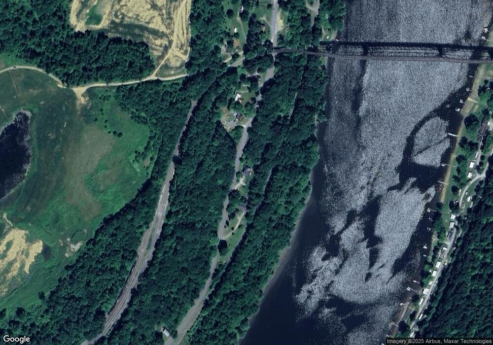
Map
Nearby Homes
- 130 State Route 1032
- 801 Pennsylvania 28
- 293 Troy Hill Rd
- 1409 Orr Ave
- 1017 Johnston Ave
- 223 Cedar Dr
- 1033 Wilson Ave
- 142.19 Acs Along Elkin & Beck Roads
- 0 Cadogen Slatelick Unit 1702842
- 935 Orr Ave
- 119 6th St
- 422-424 Highland Ave
- 11815 State Route 85
- 121 Oak Ave
- 435 1/2 Reesman Dr Unit 2
- 139 Oak Ave
- 341 N Grant Ave
- 428 Dewey St
- 11637 State Route 85
- 143 N Grant Ave
- 1194 Tarrtown Rd
- 1215 Tarrtown Rd
- 1531 Tarrtown Rd
- 1225 Tarrtown Rd
- 1227 Tarrtown Rd
- 1241 Tarrtown Rd
- 1163 Tarrtown Rd
- 1245 Tarrtown Rd
- 172 Painter Rd
- 150 River Rd
- 171 Painter Rd
- 728 State Route 1033
- 151 Painter Rd
- 602 State Route 1033
- 756 State Route 1033
- 141 Painter Rd
- 108 State Route 1034
- 1297 Tarrtown Rd
- 1301 Tarrtown Rd
- 430 Lower Hayes Rd