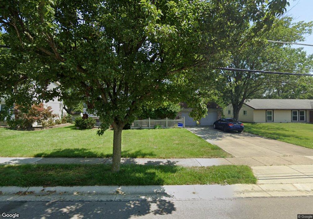
12020 Brookston Dr Cincinnati, OH 45240
Estimated Value: $270,000 - $316,000
4
Beds
3
Baths
2,108
Sq Ft
$140/Sq Ft
Est. Value
About This Home
This home is located at 12020 Brookston Dr, Cincinnati, OH 45240 and is currently estimated at $294,129, approximately $139 per square foot. 12020 Brookston Dr is a home located in Hamilton County with nearby schools including Springdale Elementary School, Princeton Community Middle School, and Princeton High School.
Ownership History
Date
Name
Owned For
Owner Type
Purchase Details
Closed on
Nov 7, 2003
Sold by
Burkhart Richard P
Bought by
Jones Carolyn F
Current Estimated Value
Home Financials for this Owner
Home Financials are based on the most recent Mortgage that was taken out on this home.
Original Mortgage
$136,852
Outstanding Balance
$62,606
Interest Rate
5.81%
Mortgage Type
FHA
Estimated Equity
$231,523
Create a Home Valuation Report for This Property
The Home Valuation Report is an in-depth analysis detailing your home's value as well as a comparison with similar homes in the area
Home Values in the Area
Average Home Value in this Area
Purchase History
| Date | Buyer | Sale Price | Title Company |
|---|---|---|---|
| Jones Carolyn F | $139,000 | -- |
Source: Public Records
Mortgage History
| Date | Status | Borrower | Loan Amount |
|---|---|---|---|
| Open | Jones Carolyn F | $136,852 |
Source: Public Records
Tax History Compared to Growth
Tax History
| Year | Tax Paid | Tax Assessment Tax Assessment Total Assessment is a certain percentage of the fair market value that is determined by local assessors to be the total taxable value of land and additions on the property. | Land | Improvement |
|---|---|---|---|---|
| 2024 | $3,150 | $73,098 | $13,808 | $59,290 |
| 2023 | $3,157 | $73,098 | $13,808 | $59,290 |
| 2022 | $2,761 | $51,990 | $11,568 | $40,422 |
| 2021 | $2,684 | $51,990 | $11,568 | $40,422 |
| 2020 | $2,719 | $51,990 | $11,568 | $40,422 |
| 2019 | $3,431 | $44,437 | $9,888 | $34,549 |
| 2018 | $2,366 | $44,437 | $9,888 | $34,549 |
| 2017 | $2,221 | $44,437 | $9,888 | $34,549 |
| 2016 | $2,070 | $41,115 | $10,325 | $30,790 |
| 2015 | $2,091 | $41,115 | $10,325 | $30,790 |
| 2014 | $2,098 | $41,115 | $10,325 | $30,790 |
| 2013 | $2,183 | $43,740 | $10,983 | $32,757 |
Source: Public Records
Map
Nearby Homes
- 12069 Cantrell Dr
- 12189 Kenn Rd
- 3281 Greenwich Dr
- 755 Hanson Dr
- 778 Hinton Place
- 3323 Devonian Dr
- 11696 Hinkley Dr
- 11649 Kenn Rd
- 21 Aspen Ct
- 19 Caribou Ct
- 43 Oakwood Ct
- 692 W Kemper Rd
- 17 Springbok Dr
- 994 Harrogate Ct
- 3745 Mack Rd
- 659 W Kemper Rd
- 918 Glasgow Dr
- 992 Olde Station Ct
- 38 Providence Dr
- 11549 Gaffney Place
- 12030 Brookston Dr
- 12010 Brookston Dr
- 12021 Kenn Rd
- 12040 Brookston Dr
- 12000 Brookston Dr
- 12011 Kenn Rd
- 12015 Brookston Dr
- 12041 Kenn Rd
- 12001 Kenn Rd
- 12035 Brookston Dr
- 12050 Brookston Dr
- 760 Cedarhill Dr
- 791 Weymouth Ct
- 11995 Brookston Dr
- 12051 Kenn Rd
- 750 Cedarhill Dr
- 12045 Brookston Dr
- 796 Weymouth Ct
- 12060 Brookston Dr
- 790 Cedarhill Dr