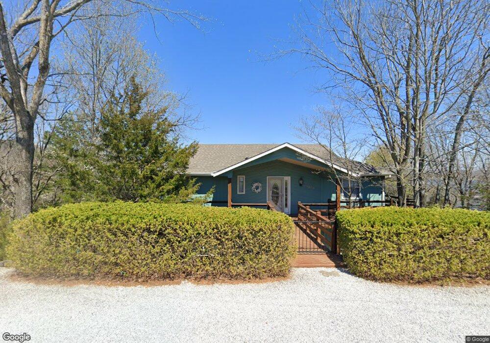
12024 E Airport Dr Garfield, AR 72732
Estimated Value: $644,000 - $769,000
--
Bed
3
Baths
2,060
Sq Ft
$348/Sq Ft
Est. Value
About This Home
This home is located at 12024 E Airport Dr, Garfield, AR 72732 and is currently estimated at $716,051, approximately $347 per square foot. 12024 E Airport Dr is a home located in Benton County with nearby schools including Garfield Elementary School, Lingle Middle School, and Rogers Heritage High School.
Ownership History
Date
Name
Owned For
Owner Type
Purchase Details
Closed on
Oct 26, 2004
Bought by
Bakke 3P
Current Estimated Value
Purchase Details
Closed on
Oct 22, 2004
Bought by
Bakke 3P
Purchase Details
Closed on
Jun 2, 2003
Bought by
Dod 06-02-2003
Purchase Details
Closed on
Apr 17, 2002
Bought by
Allen
Purchase Details
Closed on
Oct 13, 1997
Bought by
Olson
Purchase Details
Closed on
Nov 17, 1994
Bought by
Silong
Purchase Details
Closed on
Jun 25, 1982
Bought by
Fissinger
Purchase Details
Closed on
Jan 21, 1981
Bought by
Maier Trust
Create a Home Valuation Report for This Property
The Home Valuation Report is an in-depth analysis detailing your home's value as well as a comparison with similar homes in the area
Home Values in the Area
Average Home Value in this Area
Purchase History
| Date | Buyer | Sale Price | Title Company |
|---|---|---|---|
| Bakke 3P | $233,000 | -- | |
| Bakke 3P | $233,000 | -- | |
| Dod 06-02-2003 | -- | -- | |
| Allen | $225,000 | -- | |
| Olson | $8,000 | -- | |
| Silong | $4,000 | -- | |
| Fissinger | $6,000 | -- | |
| Maier Trust | $14,000 | -- |
Source: Public Records
Tax History Compared to Growth
Tax History
| Year | Tax Paid | Tax Assessment Tax Assessment Total Assessment is a certain percentage of the fair market value that is determined by local assessors to be the total taxable value of land and additions on the property. | Land | Improvement |
|---|---|---|---|---|
| 2025 | $2,664 | $113,617 | $1,600 | $112,017 |
| 2024 | $2,512 | $113,617 | $1,600 | $112,017 |
| 2023 | $2,512 | $52,230 | $1,200 | $51,030 |
| 2022 | $2,811 | $52,230 | $1,200 | $51,030 |
| 2021 | $2,804 | $52,230 | $1,200 | $51,030 |
| 2020 | $2,981 | $58,130 | $900 | $57,230 |
| 2019 | $2,981 | $58,130 | $900 | $57,230 |
| 2018 | $2,888 | $58,130 | $900 | $57,230 |
| 2017 | $2,672 | $58,130 | $900 | $57,230 |
| 2016 | $2,672 | $58,130 | $900 | $57,230 |
| 2015 | $2,675 | $55,620 | $1,600 | $54,020 |
| 2014 | $3,022 | $55,620 | $1,600 | $54,020 |
Source: Public Records
Map
Nearby Homes
- Lot 59 W Airport Rd
- L75 W Airport Rd
- Lot 38 Dogwood Dr
- 11771 Dogwood Dr
- L17 E Airport Dr
- 21158 Rocky Ridge Place
- Lot 86 White Oak Dr
- Lot 13 Dogwood Dr
- Lot 12 Dogwood Dr
- 0 Dogwood Dr Unit 1306956
- 0 Rocky Ridge Place
- 11747 Dogwood Dr
- 11743 Dogwood Dr
- 11928 White Oak Dr
- 21330 Ridgeview Dr
- 0 Hickory Dr Unit 1319573
- 21528 Walnut St
- 21548 Walnut St
- 12210 Dogwood Dr
- 21413 Lakeview Dr
- 12036 E Airport Dr
- Lot 27 Stoney Ridge
- Lot 26 & half-Lot 25 Stoney Ridge
- Lot 26 & 1/2 of Lot Stoney Ridge
- 12012 E Airport Dr
- 0 E Airport Dr
- 21117 Stoney Ridge Rd
- 0 Elm Ave Unit 1302606
- Lot 30 Elm Ave
- Lot 29 Elm Ave
- 0 Elm Ave
- 11939 W Airport Dr
- Lot 54 & 55 W Airport Rd
- 0 Lot 29 Elm Ave Unit 570163
- Lot 44, Block 0 W Airport Rd
- 0 W Airport Rd
- W W Airport Rd
- Lots 70, 71 W Airport Rd
- 11811 Dogwood Dr
- 21227 Elm Ave