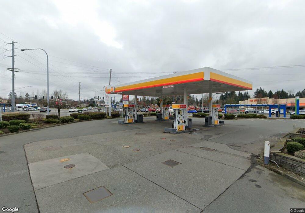
12025 Highway 99 Unit G Everett, WA 98204
Paine Field-Lake Stickney NeighborhoodEstimated Value: $10,318,798
Studio
--
Bath
17,176
Sq Ft
$601/Sq Ft
Est. Value
About This Home
This home is located at 12025 Highway 99 Unit G, Everett, WA 98204 and is currently estimated at $10,318,798, approximately $600 per square foot. 12025 Highway 99 Unit G is a home located in Snohomish County with nearby schools including Odyssey Elementary School, Voyager Middle School, and Mariner High School.
Ownership History
Date
Name
Owned For
Owner Type
Purchase Details
Closed on
Sep 13, 2002
Sold by
Suh Bong S and Suh Tae H
Bought by
Sbs Airport Inc
Current Estimated Value
Purchase Details
Closed on
May 31, 2002
Sold by
Warn/Williams I Associates Llp
Bought by
Suh Bong S and Suh Tae H
Home Financials for this Owner
Home Financials are based on the most recent Mortgage that was taken out on this home.
Original Mortgage
$1,790,000
Interest Rate
6.89%
Mortgage Type
Commercial
Create a Home Valuation Report for This Property
The Home Valuation Report is an in-depth analysis detailing your home's value as well as a comparison with similar homes in the area
Home Values in the Area
Average Home Value in this Area
Purchase History
| Date | Buyer | Sale Price | Title Company |
|---|---|---|---|
| Sbs Airport Inc | -- | -- | |
| Suh Bong S | $2,990,000 | -- |
Source: Public Records
Mortgage History
| Date | Status | Borrower | Loan Amount |
|---|---|---|---|
| Previous Owner | Suh Bong S | $1,790,000 |
Source: Public Records
Tax History
| Year | Tax Paid | Tax Assessment Tax Assessment Total Assessment is a certain percentage of the fair market value that is determined by local assessors to be the total taxable value of land and additions on the property. | Land | Improvement |
|---|---|---|---|---|
| 2025 | $45,368 | $5,117,800 | $1,223,200 | $3,894,600 |
| 2024 | $45,368 | $5,188,300 | $1,215,200 | $3,973,100 |
| 2023 | $40,030 | $4,748,100 | $1,213,200 | $3,534,900 |
| 2022 | $40,117 | $4,041,700 | $1,129,200 | $2,912,500 |
| 2020 | $39,068 | $3,845,500 | $1,109,200 | $2,736,300 |
| 2019 | $37,982 | $3,751,000 | $1,408,300 | $2,342,700 |
| 2018 | $38,849 | $3,349,500 | $1,344,300 | $2,005,200 |
| 2017 | $35,549 | $3,126,000 | $1,280,200 | $1,845,800 |
| 2016 | $34,783 | $3,038,000 | $1,248,200 | $1,789,800 |
Source: Public Records
Map
Nearby Homes
- 11918 Airport Rd
- 13428 Highway 99
- 14000 Center Rd
- 24 XX Center Rd
- 2101 Center Rd
- 12530 Admiralty Way Unit I202
- 2312 117th Place SW
- 11907 Admiralty Way
- 12712 Admiralty Way Unit B101
- 12712 Admiralty Way Unit E103
- 12315 Alexander Rd
- 12305 Alexander Rd
- 11527 Highway 99 Unit A105
- 11527 Highway 99 Unit B103
- 11527 Highway 99 Unit A304
- 11527 Hwy 99 Unit C106
- 11626 Admiralty Way Unit A
- 11517 Marino Ave Unit A
- 11517 Marino Ave Unit B
- 11504 12th Ave W Unit B306
- 12025 Highway 99 Unit H
- 12025-12026 Highway 99
- 12121 Highway 99
- 0 Airport Road & Bypass
- 1 Airport Rd
- 114 Airport Rd
- 12118 Highway 99
- 12112 Highway 99
- 12006 Highway 99
- 12221 Airport Rd
- 12221 Airport Rd
- 1530 121st St SW Unit LOT 1
- 1530 121st St SW
- 12130 Highway 99
- 1528 121st St SW
- 12218 Airport Rd
- 1526 121st St SW
- 1520 120th Place SW Unit 7
- 1524 121st St SW